Data convergence
ArcGIS connects IT systems to the operational state of the network and integrates external information sources with location. Furthermore, it manages data transactions and enforces the integrity of network and structural data.


Make the best use of resources
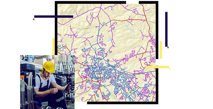
ArcGIS connects IT systems to the operational state of the network and integrates external information sources with location. Furthermore, it manages data transactions and enforces the integrity of network and structural data.
Craft a complete operational picture and analyze field activities in the context of location. Reveal relationships between planned and unplanned work, while optimizing work plans.

Present a common operational picture and communicate changes as they occur. Enable collaborative teamwork while automating notifications to external stakeholders and systems.
