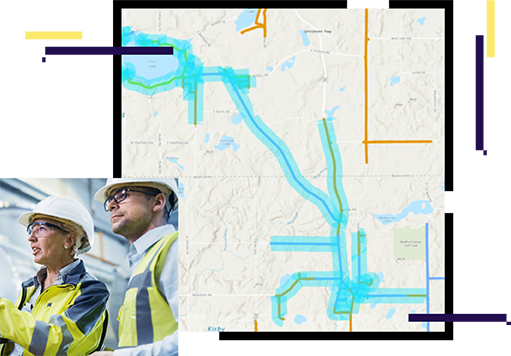
Skip to Content

Design and Engineering

Delivering strategic capabilities

map with blue lines, two people wearing hard hats

Modeling complete gas utility networks

Gas utility network engineers need innovative tools and methods, with large and diverse data sources, to design networks that meet business and regulatory requirements. The resultant designs sharpen every project and reduce risks. A modern geographic information system (GIS) is a single source of true design. It provides a solid information and communication foundation to model utility networks of all sizes and configurations. The modern capabilities of ArcGIS reinforce excellence for utility design and engineering.

A new foundation for gas utility GIS solutions

Real-world modeling

Design 3D networks, from production to customer use. Manage gas utility projects through their life cycles. Enforce rules-based standards and connectivity. Represent past, present, and future states.

map on a computer screen with green polygon

Visualization and analytics

Perform network analysis and tracing. Validate 3D designs in location context. Obtain network insight with schematic portrayal. Optimize the use of material and labor.

e map with dots on street in front of houses and inside houses

Coordination and collaboration

Share projects widely, on any device. Collaborate with internal and external participants. Distribute design information instantaneously. Solicit community project interaction.

map with streets and utility lines to buildings

ebook

Design & Engineering for Modern Utility Networks

ArcGIS Utility Network is next generation technology, enabling utilities to achieve their digital transformation targets.

Download the ebook

Contact sales

Connect with the Esri gas utilities team