People, property, environment
Collect data to support community and regulatory requirements, catalog hazards and sensitive areas, connect responsibilities to infrastructure and surroundings, and create a safety and compliance knowledge base.


Enhancing safety with GIS
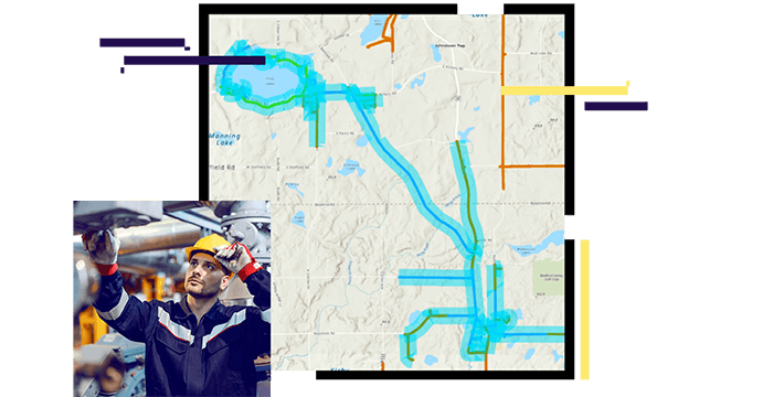
Collect data to support community and regulatory requirements, catalog hazards and sensitive areas, connect responsibilities to infrastructure and surroundings, and create a safety and compliance knowledge base.
Uncover relationships between hazards and work to craft a complete compliance picture. Analyze historic patterns and present dangers while revealing insights to improve safe and compliant work.

Communicate insights to all stakeholders and convey updates as changes occur in real-time. Enable immediate feedback and transparency while widely sharing current reports and audits.
