Skip to Content

Emergency Management

Supporting mission-critical decisions

Prepare, respond, restore, and recover

Electric utility emergency management is more than a response to a disaster. It is an ongoing process. It begins well before a disaster hits and continues during the incident and into the recovery phase. An electric utility's emergency preparedness, fast response, ability to restore power, and recovery all rely heavily on location. ArcGIS quickly shows the location of weaknesses, outages, damages, crews, and material. For rapid electric utility emergency response, ArcGIS provides critical data access to better manage emergencies and support real-time decision making in a crisis.

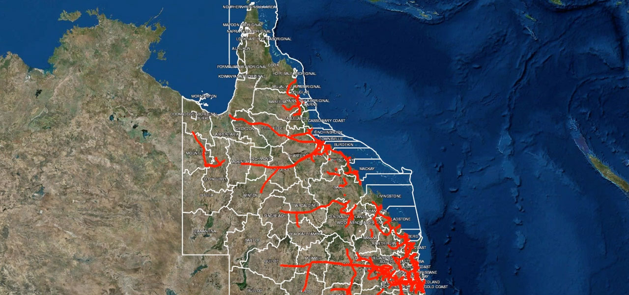
Situational awareness

Esri's ArcGIS pinpoints critical infrastructure and reveals network risks. It shows weather and traffic events and helps forecast damage.
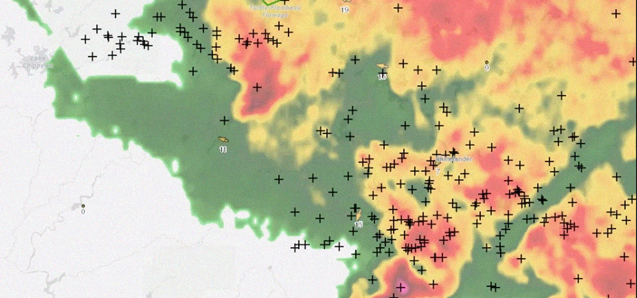
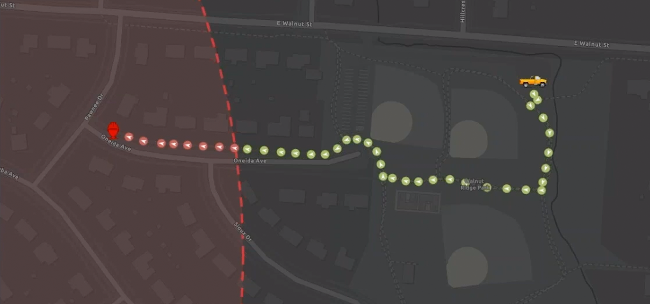
Damage assessment

ArcGIS captures real-time data and leverages imagery analysis. It optimizes field resources and helps dispatch crews to the right location.

Sharing and collaboration

ArcGIS shares critical data across the organization and engages key stakeholders. It reveals insights with dashboards that help boost customer satisfaction.

User Story

Electric utility prepares for hurricane response

Lakeland Electric used ArcGIS to enhance the electric utility's emergency preparedness.

Read the story

Electric utilities business areas

Previous
Next
See all utilities

Contact sales

Connect with the Esri electric utilities team