Supply Chain Digitization
Plan for and mitigate disruptions.

Increasing business performance

BP Global's GIS-powered One Map delivers a single, real-time view into global operations and analysis that has revolutionized how it does business.
Get a real-time view so you can digitize, visualize, and analyze global network operations. Create a physical-to-digital-to physical loop enabling rapid adjustments to the live network that optimizes performance while collecting streams of data for advanced analytics. Improve operational efficiencies, reduce costs, and grow customer satisfaction.

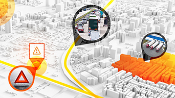
Location technology helps planners design, maintain, and fine-tune high-performing assets across a network. Navigate from hyperlocal issues up to global threats while capturing streams of operations data that feeds deeper analysis, leading to operational efficiencies and faster business innovation.

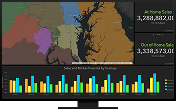
Assess and reset sales boundaries to better align with shifting customer demand and highest market potential. Location-driven intelligence improves territory visualization, scenario planning, and territory adjustments. Optimize sales resources based on workload, revenue performance, strategic accounts, and a developing pipeline.
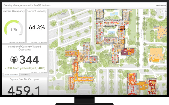
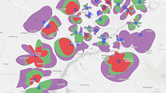
Plan, monitor, and analyze complex facility portfolios with GIS to gain insight into utilization patterns and recurring issues for greater operational effectiveness. Find ways to cut costs, protect assets, and increase workplace safety by detecting potential threats. Simplify management of construction, renovation, and maintenance projects.

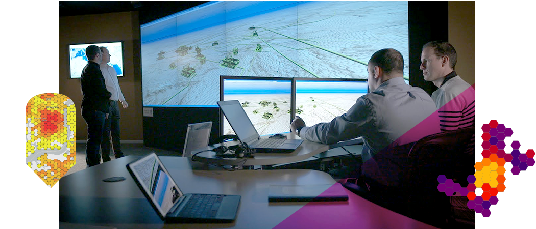
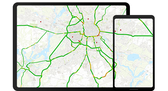
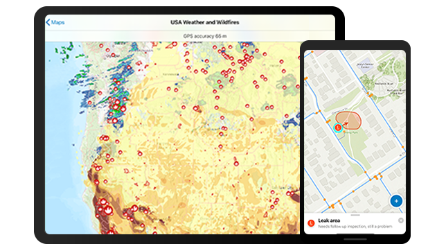
Plan, monitor, and spatially analyze progress in the field, optimize routes across the network, view and capture mission-critical data in the field, and know where staff are and have been. Seamlessly communicate the status of field operations with integrated, live dashboards that monitor, track, and report real-time data.

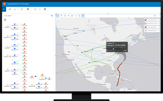
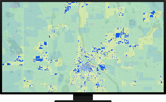
Use location-based analysis to uncover hidden patterns, improve predictive modeling, and create a spatial business advantage. With powerful GIS capabilities for enterprise analytics—artificial intelligence (AI), machine learning, big data analytics, Internet of Things (IoT) feeds, modeling, and imagery—data scientists can rapidly scale analytics processes, advancing operational transformations.
Supply Chain Digitization
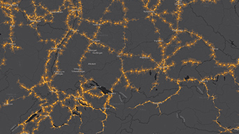
Network planning and analysis
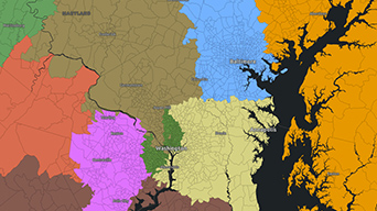
Sales territory planning

Facility Management

Field Service Management
Spatial Analysis and Data Science
Asset Tracking and Analysis

Logistics and Fulfillment