Skip to Content

Preparedness

Location intelligence for disaster preparedness and early warning

Know where a hazardous event will occur

To understand where a hazardous event will occur and how the community can best prepare to protect lives and livelihoods, requires a location-based understanding of the environment. ​Location intelligent disaster preparedness helps communities better prepare and take anticipatory action to manage hazardous events. ArcGIS provides tools and systems to monitor known hazards and forecast events, create location-specific early warning systems and alerting platforms, and identify potential shelters and safe evacuation routes.​

How GIS supports disaster preparedness

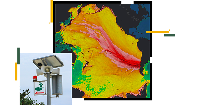
Shelter suitability and evacuation planning

Apply site suitability analysis to help communities identify and plan ideal locations for shelters and stockpiles.​ Identify and optimize safe evacuation routes through geographic, location-based knowledge of the current and impacted landscape.

Mobile data collection and impact prediction

Combine field data collection tools with spatial analysis to develop prediction models and enable anticipatory action. Deliver community engagement tools that communicate a real-time view on the evolution of hazards and their potential threat to lives and livelihoods.

Early warning systems and reporting

Create effective early warning systems to alert the community and other stakeholders on incoming hazards. Live data feeds, field applications, and mapping tools enable real-time monitoring and reporting.​

USER STORY

Rohingya refugee emergency at a glance

UNHCR shares its story of collaboration with the local government and partners, working around the clock to support nearly 700,000 refugees with GIS.

Go to the story

Products for disaster preparedness

Previous
Next

Contact sales

Connect with the Esri humanitarian team