Skip to Content

GIS for Rail

Harness the power of location analytics and data

Two people working in hard hats and orange vests, a map with a dark blue background and many intersecting orange lines, and a railroad track

Transform rail operations with the power of GIS

Unlock the full potential of the rail industry by incorporating geographic information system (GIS) technology into existing workflows. By geoenabling data along the rail network, businesses can leverage spatial analytics, field mobility, and cloud-based solutions. Using GIS data empowers rail industry professionals to embrace a new era of safety, scalability, and reliability.

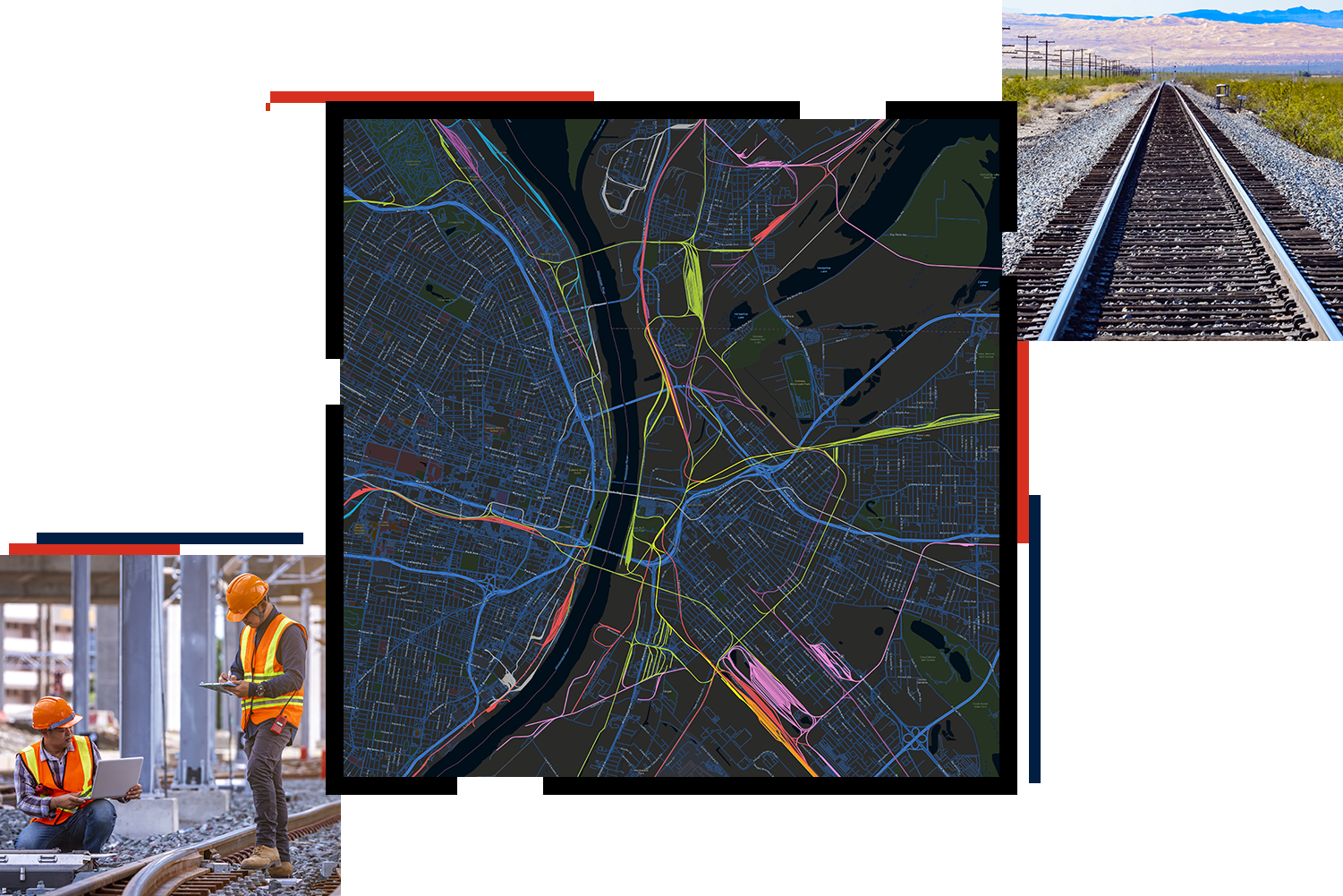
Expand the value of GIS

Our latest GIS for rail ebook will walk you through the benefits of implementing GIS to

  • Leverage data for analysis.
  • Address challenges in employee and public safety, rail operations, commercial growth, and environmental sustainability.
  • Effectively utilize positive train control (PTC) data.
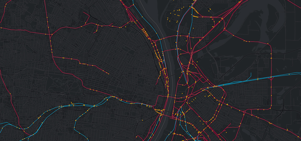
Download the ebook
A map with a red line indicating a route or path through the city

UPCOMING EVENT

North American GIS Rail Summit

This two-day event brings together rail’s brightest professionals and thought leaders. Learn how to maximize an existing investment in GIS to drive efficiency and innovation. Discover new technical and process advancements; hear from Esri product experts; and connect with fellow railroaders, GIS professionals, and business partners.

See registration details
Two women reviewing document in office

Our rail community

Find resources such as blogs, upcoming webinars, events, and trainings created for rail professionals.

Explore the resources
A diverse group of individuals fascinated by the contents displayed on a laptop.

Sign up for our newsletter