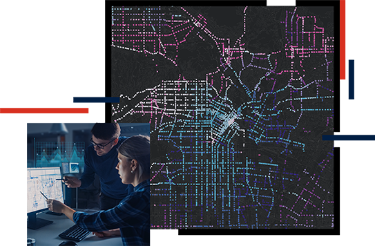
Skip to Content

Data and Technology

Breaking down the silos

Most departments of transportation (DOTs) have faced the difficulty of uniting transportation data management and technology across an organization to support accessibility and decision-making. GIS helps you break down data silos and make data-driven decisions. Whether you are trying to capture the benefits of whole life cycle information management or creating performance dashboards for your senior business managers, GIS gives you broad access to the information you already have.

Data integration

All assets have locations, which are often documented and managed with different measurement systems. Esri's GIS is designed to simplify access to the information in different systems so you can comprehensively understand all your assets. The first step is organizing your road and highway data. GIS can help you integrate existing authoritative business systems to establish a system of record. Create a trusted, single source of truth through location.

Enabling technology transformation

The way we plan, design, and deliver transportation projects is rapidly changing. GIS is a fundamental part of that digital transformation. Whether integrating building information modeling (BIM), CAD, and GIS data for more seamless workflows or leveraging lidar and other imagery to improve your processes, Esri is committed to ensuring greater interoperability among your critical software and technology systems.

Create a system of engagement to empower everyone in your organization with the data, maps, and apps they need to be more productive.

More on a system of engagement

Performance management

You have federally mandated reporting and performance requirements as well as internal metrics you use to measure progress toward agency goals. Esri gives you the power of spatial and business intelligence to assemble the right information and analyze performance. Use performance dashboards to effectively communicate relevant information to senior management or the public to increase confidence and trust.

CASE STUDY

Breaking down the data silos

Colorado Department of Transportation is ensuring that thousands of employees are working in the most effective and efficient way. They are collaborating across divisions, rapidly deploying authoritative information products, and enhancing decision-making through GIS.

Read the story

Products and ArcGIS Solutions

Explore ArcGIS Solutions and product offerings that enhance roads and highways data and technology.

Previous
Next

Contact sales

Connect with the Esri transportation team