Skip to Content

Operations

Gain greater operational control

Getting the optimal performance from monitoring and managing your existing network is the role of your road and highway operations department. With Esri's GIS, you can put together real-time information from disparate sources. Use smart maps to get a comprehensive view of your road and highway operations to understand the full road network through geospatial data. Gain greater operational control to ensure smooth and safe traffic operations, and keep your transportation system operating at peak performance.

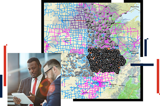
Traffic management with situational awareness

With Esri's GIS real-time traffic mapping, you can have a single integrated map view of your data—traffic, weather, incident, congestion, and construction—combined with Waze data to get the most comprehensive view of your road and highway operations. These capabilities can be used in your traffic management center and help inform the public of current road conditions in real time.

Maintain mobility in the worst conditions

Ensuring the safety and reliability of your roadways in winter weather can be a full-time job. Fortify your department with solutions for snow management. Esri's prepackaged software bundles let you monitor weather data and set up your own storm operations center. You can track and optimize your winter operations to keep your roads open and navigable in the worst weather.

Responding to natural disasters

Natural disasters are becoming more common and affect every state. From hurricanes to floods and earthquakes, quick response is critical to keeping roadways open and informing the public of damage and closed routes during emergencies. GIS gives you the tools to collect information in difficult circumstances and communicate the latest information to the public.

CASE STUDY

Navigating Wyoming's snowy roads

The Wyoming Department of Transportation's interactive, mobile-friendly map helps truckers, tourists, and locals plan safe trips.

Read the case study

Products and ArcGIS Solutions

Explore ArcGIS Solutions and product offerings that enhance roads and highways operations.

Previous
Next

Contact sales

Connect with the Esri transportation team