Skip to Content

Executive Protection

Use GIS for executive protection and security services

A security officer holding a two-way radio and a mobile phone displaying an ArcGIS map that is enlarged in the background to show safety route

Navigate today's security environment

GIS assists protection teams in developing threat assessments, planning secure routes, and monitoring real-time situations. By combining spatial intelligence with critical data, GIS provides enhanced situational awareness and comprehensive risk assessment for your executive protection workflows.

Enhance operational planning with GIS

Threat detection and risk analysis

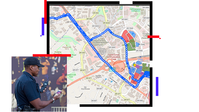
GIS streamlines threat evaluation for executive protection by analyzing diverse risk data. Consolidate travel itineraries to make informed security decisions and integrate intelligence sources to detect emerging threats and patterns. Incorporate existing surveillance systems and threat feeds for real-time monitoring, providing quick responses to suspicious activities.

A computer displaying an Esri Security Operations Center dashboard with percentages of threat assessments

Ensure the safety of personnel and assets

Leverage GIS-powered protective intelligence to provide safe and efficient travel routes by considering factors like traffic flow and crime hot spot areas. Get real-time incident updates for navigation assistance. GIS optimizes visualization, coordination, response time, and overall security efficacy.

A computer displaying a planned safety route

Enhance security with protective intelligence

GIS provides the ability to create virtual perimeters around critical locations such as offices, homes, or event spaces. By defining these boundaries, GIS can activate automatic alerts that notify security personnel of incoming threats. Geofencing technology improves situational awareness and facilitates proactive security measures.

A computer displaying two areas geofenced

Respond effectively and efficiently

GIS improves emergency management by integrating critical data on emergency service locations, medical facilities, evacuation routes, and safe zones. Access to authoritative information enables security teams to make informed decisions, resulting in faster response times and heightened safety measures.

A computer displaying a highlighting an area in the Gulf of Mexico that needs emergency response

ARCGIS BLOG

Streamline security operations with ArcGIS Mission

ArcGIS Mission offers an all-in-one solution for enhancing real-time communication and situational awareness in security operations.

Go to the article

Products for executive protection

Previous
Next

Contact us to get started

Contact us

Outside the United States

Connect with the Esri public safety team