Skip to Content

Threat Monitoring

Real-time threat monitoring and actionable incident triage

Person pointing to a wall of digital maps

Location intelligence delivers complete situational awareness and boosts an operations center's capabilities, making it the brain center of any organization. With real-time data feeds, operations centers can best facilitate rapid incident response, minimize impact, and enable early detection. Filter volumes of disparate types of data to understand threat intelligence and conduct incident triage. Geographic information system (GIS) technology provides threat monitoring and reporting tools that allow your security team to aggregate and share results, facilitate mitigation, manage consequences, and support investigations. 

Process-based approach for operations

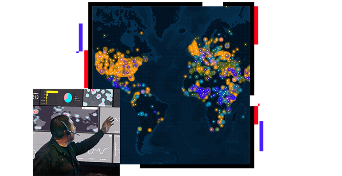
Simplify multisource alerting

Compare multiple threat feeds with security incident data points to produce robust operational analyses from your threat intelligence. Focus staff in your global security operations center on threat monitoring by setting up automated alerts that occur when external threats intersect with high-value internal assets.

Map of the United States

Filter and prioritize incoming threats

Condense incident data using consistent methodologies that prioritize caseloads and manage follow-up through to resolution. Leverage GIS to filter and triage volumes of incident reports and remove clutter from your operational picture. Use reporting capabilities to aggregate results, supporting threat mitigation and investigations. Deliver simple information products that are easy to interpret.

Incident map

Predict impact to organizational assets

Facilitate critical decision-making before, during, and after a catastrophic event. Interrelate location, demographic, and infrastructure data to fuel powerful geoprocessing tools. Predict the consequences to an impacted area with detailed reports. Assess damage to the built environment, and estimate casualties in the area population.

At-risk population profile map

Experience unparalleled operational awareness

Provide unmatched awareness of your area of interest by interrelating imagery and demographic, environmental, business, incident, and threat data. Enforce the use of foundational data layers for planning and incident response. Align people, processes, and data to inform leadership.

Command center map

Technical paper

Site Security and Critical Incident Management

Explore a geospatial concept of operations (CONOPS) focused on managing safe campuses and venues with GIS.

Read the technical paper

Products for security operations

Previous
Next

Contact us to get started

Contact us

Outside the United States

Connect with the Esri public safety team