Skip to Content

Physical Security

Optimizing physical security through spatial intelligence

A security camera on mounted on a building and floor plan map in the background showing the building's interior

Enhance security with geographic insights

In a dynamic security landscape, physical security management is essential for effective asset protection and risk management. Leverage spatial intelligence for site evaluation, risk assessment, and surveillance planning. Enhance your situational awareness by ensuring a secure and well-protected environment through the integration of GIS and real-time security data.

Utilize GIS for secure operations

Optimize location choice and risk management

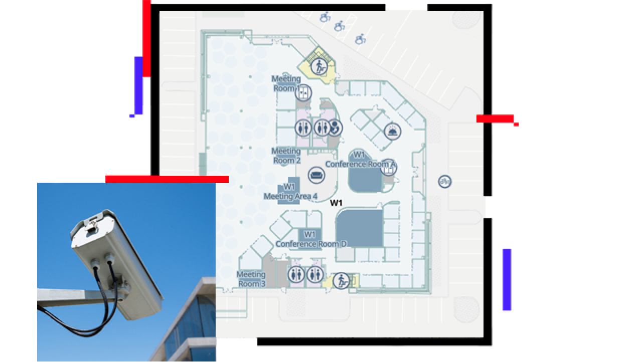
GIS enables security professionals to integrate and analyze data layers, combining crime data, environmental hazards, and transportation networks. Through spatial analysis, GIS identifies high-risk areas and vulnerabilities, guiding resource allocation and strategic security measures.

A computer displaying a security operations incident analysis dashboard

Optimize perimeter security

With GIS, you can strengthen your perimeter, strategically deploy surveillance equipment, integrate with existing security systems, and leverage geographic data for threat mitigation. Identify ideal positions for barriers, fences, gates, and access control points. Proactively address vulnerabilities by simulating scenarios.

A computer displaying the surveillance perimeter and blind spots in front of a building

Streamline emergency readiness

Enhance your response strategies by integrating infrastructure data, evacuation routes, emergency services, and population data for effective mitigation strategies. Map and visualize incidents, identify patterns and trends, and anticipate threats. GIS enhances your situational awareness, providing you proactive security measures to mitigate potential security breaches.

A computer displaying a dashboard that shows at risk population information

Control your assets and fortify your position

Improve access control and resource management with GIS. Correlate location-based data with restricted areas, security guard positions, and alarm systems. Security system integrations allow visibility into critical access points and areas. Monitor and track asset movement within facilities or across multiple locations, using GIS, to optimize security and resource allocation.

A computer displaying a dashboard of access control and asset management

WHERENEXT

Location intelligence is transforming security

Companies are thinking differently about resilience and risk, and the daily headlines make clear why.

Go to the article

Products for physical security

Previous
Next

Contact us to get started

Contact us

Outside the United States

Connect with the Esri public safety team