Skip to Content

Intelligence and Analysis

Powerful threat intelligence in easy-to-create visualizations

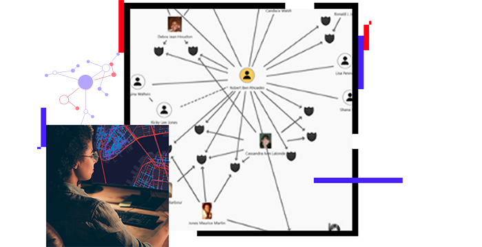
Person looking at a digital map of security information and an intelligence-related chart

Geospatial technology provides vital tools that embrace the intelligence life cycle, supporting threat intelligence workflows and investigative link analysis. Fuse raw data from multiple sources in real time, detect networks and relationships, and share tradecraft. Whether you are an intelligence analyst, technologist, or operator, you can easily organize complex threat data into a visualization that is easy to interpret, understand, and share to support threat mitigation and investigations.

An intelligent operations center

Facilitate incident analysis and data fusion

Leverage geospatial technology to facilitate a multisource investigative intelligence analysis. Fuse data from foundational and dynamic incident intelligence sources in real time. Engage operators, analysts, and technologists with interrelated maps, charts, graphs, and tables. Deliver robust visualization that informs operations.

Map with incident analysis

Detect networks and relationships

Execute link analysis that focuses on connections within a dataset that contains hidden social networks. With ArcGIS you can detect hidden relationships through networks of interconnected nodes. Give security teams the tools to analyze and understand the links and patterns in threat data, creating opportunities to disrupt adverse behavior.

Map of networks and relationships

Share tradecraft

Develop, capture, and share tradecraft across your organization. ArcGIS enables tradecraft-sharing libraries, allowing threat intelligence workflows to be documented and standardized. This provides analysts an enhanced ability to remain agile and respond to changing conditions without having to adjust the program baseline.

Person looking at intelligence data on a map and chart

WHERENEXT

Securing retail and supply chains with GIS

GIS is revolutionizing loss prevention in retail and security across supply chains by uncovering patterns and vulnerabilities.

Go to the article

Products for intelligence and analysis

Previous
Next

Contact us to get started

Contact us

Outside the United States

Connect with the Esri public safety team