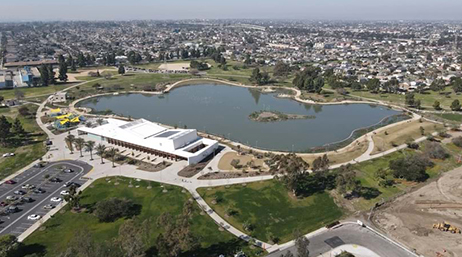
LA County uses GIS for equitable park access
LA County Department of Parks and Recreation create equity analysis with a goal of remediating degraded lands in underserved neighborhoods.
Discover insights, inspiration, and resources that support good government
The City of Raleigh, NC captivated attendees at the 2023 Esri Public Sector CIO Summit with the story of their enterprise-wide approach to GIS adoption.

LA County uses GIS for equitable park access

Maps fuel funding for equitable traffic safety

The right way to right-of-way permitting

The public safety digital twin of Frisco, Texas

Housing puzzle solved with ArcGIS Urban

Kansas enhances environmental health with GIS
Using GIS to make the case for broadband funding
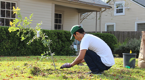
How Austin’s map of trees tackles inequities

Baltimore leads with place-based housing

Des Moines stimulates economic growth

Three ways to prioritize infrastructure investment

Develop an Equity Strategy Plan in Four Steps

In Search of Federal Funding for GIS

Responding to Homelessness in Crisis Mode

GIS Strategies for Addressing Substance Misuse

GIS for Environmental Regulation

Address homelessness and housing challenges

Delivering smart communities

Strengthening public health preparedness

Resilient by Design
Contribute your success stories and tell others about GIS technology solutions.
Join the geospatial conversation, ask your questions, or browse the forums.

Join us the third Wednesday of every month to hear about the latest GIS information from the Esri state and local government team. You will learn how to leverage your GIS capabilities to improve agency services, differentiate yourself, and achieve success.

Esri GIS courses are accredited by the American Institute of Certified Planners (AICP). Complete these training courses to maintain your annual certification for free.

Our industry experts work side by side with professional associations to keep pace with industry trends, provide thought leadership, increase GIS use, and bridge the gap between leadership and government professionals.
Esri's smart community information system establishes four technology tenets governments need to support smart communities.
This program provides GIS software, technical support, services, and data during your community's time of need.
Find guidance and support for response, business continuity, and reopening.
Sign up to receive the latest news, updates, and helpful tips for state and local government professionals.
Speak with a representative.