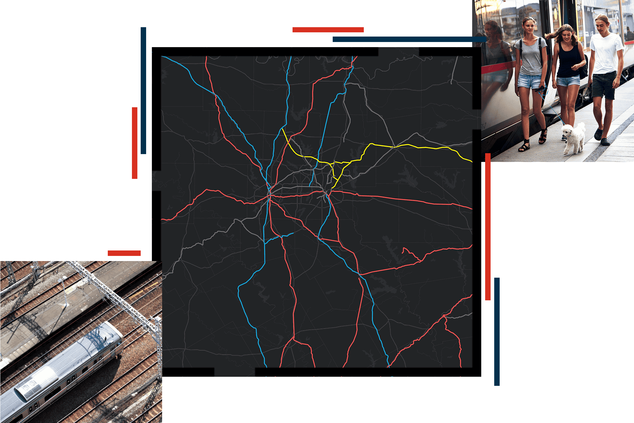
Location is built into transit’s business
Every transit decision—from planning routes and managing assets to delivering reliable, equitable service—depends on understanding where things happen.
ArcGIS software embeds location into your workflows, connecting data across departments to power smarter planning, real‑time operational awareness, and safer systems. Discover how leading transit agencies use GIS to modernize operations, meet mandates, and build transit systems riders can count on.


