
Roads and Highways
Strengthen operational efficiency with location intelligence
Ensuring transportation infrastructure resiliency
Federal funding for infrastructure investment provides the opportunity to fundamentally prolong our transportation networks to accommodate future needs and withstand future challenges. This ebook will guide you through best practices of using GIS and use cases from your peers in the transportation space.

Roads and highways business areas
Previous
Next
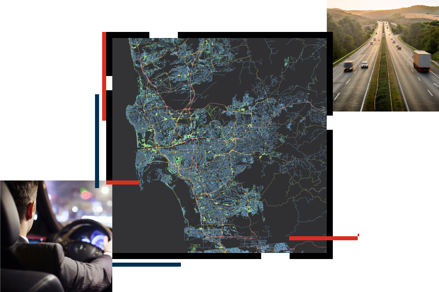
System of engagement
Location plays a critical role in all road and highway activities. A system of engagement founded in GIS technology provides a platform to organize your location-based data—making it easy to understand, analyze, and act on.

Understand
Use GIS to understand how location impacts operations and discover new ways to empower staff.
Plan
Identify business needs, then strengthen your organization with a geospatial data foundation.
Act
Create efficient workflows and ready-to-go business applications that break down data silos.
Digitize
Use GIS software that will support your business needs and speed digital transformation.
Upcoming event
Esri User Conference | July 13–17, 2026 | San Diego Convention Center | San Diego, California

Our community
Find out how your peers are using Esri technology to achieve their goals.