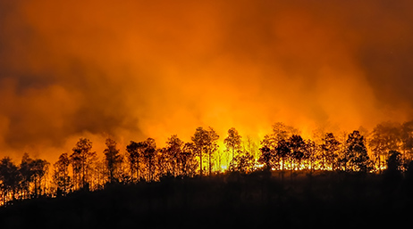
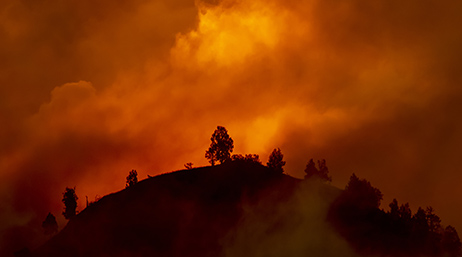
Real-time GIS transforms wildfire field operations
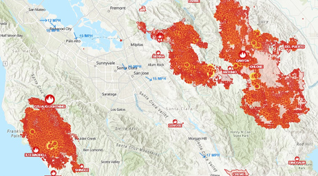
The Pennsylvania Department of Conservation and Natural Resources deploys a live mapping tool to fight wildfires with a shared awareness.
Explore resources for public safety agencies and connect with industry experts.
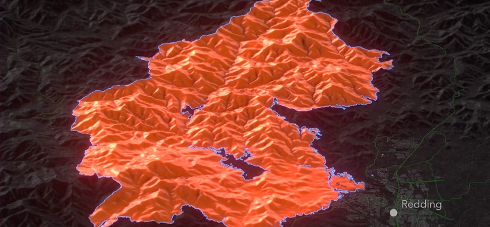
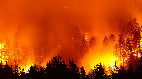
Animated maps show the impacts of devastating fires.
Real-time GIS transforms wildfire field operations
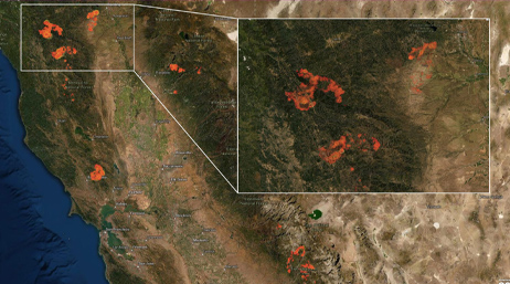
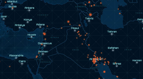
Extracting meaning—satellite fire detections
#FireMappers volunteers keep tabs on wildfires
100 years of wildfire: GIS-ification
New wildfire and weather map for the public
Improve wildfire maps with these new layers
With wildfire risk, business concern grows
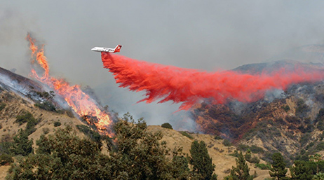
The Ferguson Fire extended GIS in the field
Supporting nonprofit's fire relief efforts

Is wildfire risk increasing where you live?
Mapping the inferno

Build consensus and combat wildland fire
Get maps, datasets, applications, and more to support wildfire preparedness and response efforts.
Access Esri technology, technical support, and help with common workflows when your agency exceeds capacity.
Esri's Emergency Management Operations solution bundle includes the software, apps, content, and services you need.
Join the geospatial conversation with others in the global community of Esri users. Find solutions, ask questions, share ideas, or browse the forums and collaborate to solve problems with GIS.

Esri Safety and Security Summit | July 11–14, 2026 | San Diego, California

Instructor-led and self-paced options help individuals apply best practices and quickly learn ArcGIS software. Esri offers these ArcGIS courses, designed for public safety workflows, to help you gain deeper insight into your organization's data for making well-informed decisions.

Esri partners offer specialized solutions built on ArcGIS to solve your real-world challenges.
Speak with a representative.