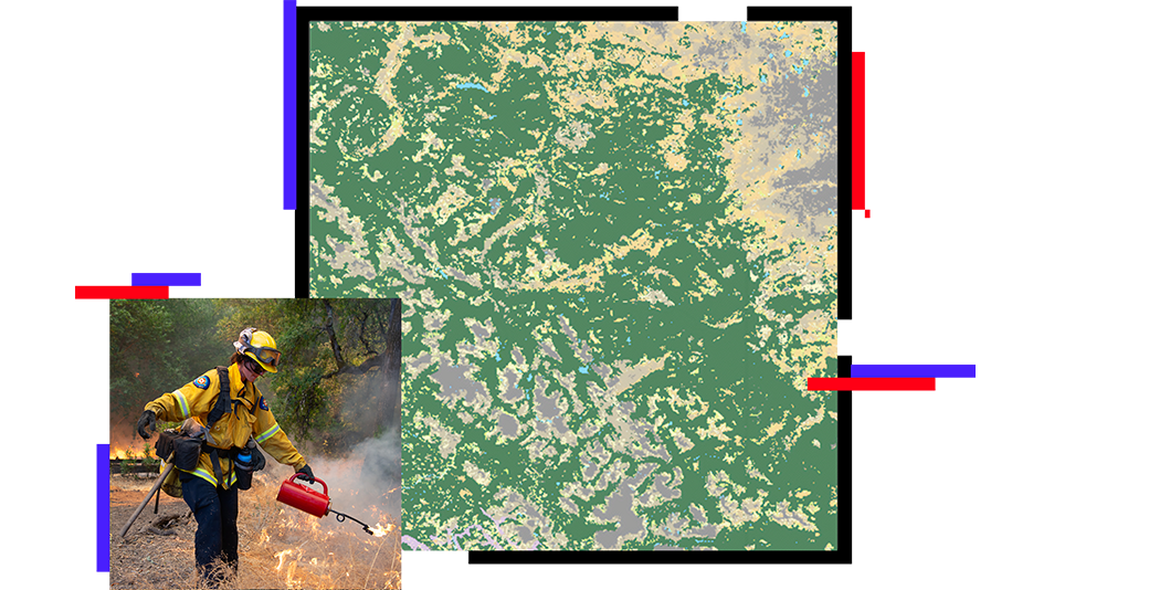
Skip to Content

Fuel Management

GIS analytics for wildfire fuel management activities

Firefighter conducting a controlled burn, map of forested area

Manage, maintain, and monitor

Fuel management programs use proven methodologies to integrate fire and fuels management practices with community priorities. These programs use Esri GIS technology including ArcGIS StoryMaps stories for communicating information to the public and briefing executives, ArcGIS Dashboards for decision support and situational awareness of program metrics, and mobile field applications that allow remote teams to conduct inspections and submit reports in real time.

Apply location analytics to fuel management

Defensible space management

Agency staff can use GIS to gather data and analyze the effectiveness of current Wildland-Urban Interface (WUI) building codes and fire safety regulations such as those related to defensible space. With GIS-based mobile applications and analytical capabilities, staff can analyze these standards with verified field data. They can also analyze information about local vegetation, weather, and topography to determine the fire severity zone of an area and inform an effective defensible space design—one of the most cost-effective ways to protect a structure from wildfire.

Smokey forest fire in a mountain area

Prescribed fire maintenance

Fire plays a vital role in preserving forest health, vegetation maintenance, and certain ecosystems. Fire managers can use GIS to determine where to place prescribed fires on the landscape while considering fuel type, topography, wildlife habitat, and weather conditions. Modeling will show how a prescribed fire will behave and spread under a variety of conditions as well as the impact of smoke dispersion. With GIS, fire managers can select the appropriate prescription under which a prescribed fire will achieve the greatest benefit.

Map of prescribed fire burn areas

Fire ecology monitoring

Modeling fire behavior is an essential part of forest and fuel management. GIS-based fire behavior models are necessary for predicting the impacts of potential fuel treatments within the forest and determining the best treatment methods to be used to meet planning and land management goals.

Map of forested area with areas shaded purple, photo of a person taking a picture of trees

blog

100 years of wildfire: GIS-ification

This blog looks at 100 years of California wildfires aggregated into 100-square-mile cells.

Read the blog

Wildland fire strategies

previous
Next

Contact sales