
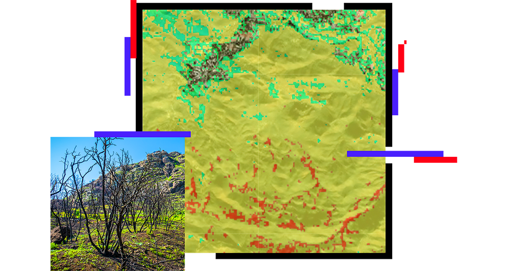
Inspect damage and plan for cleanup
After a wildland fire, it's important for firefighters, government leaders, utility company staff, and others to assess the extent of the damage. Using mobile devices to collect data and pictures of destroyed residences, infrastructure, and associated debris, staff can map, inventory, and communicate damage in real time.


