Making smarter decisions
Together we are driving smarter decisions, optimizing designs, accelerating project approvals, and reducing costs to create smarter cities and resilient infrastructure.


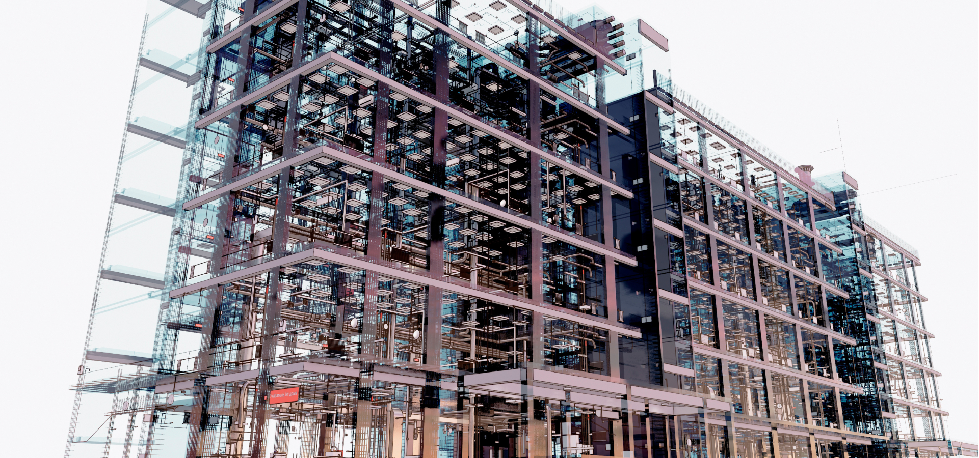
ArcGIS GeoBIM offers a common platform across projects for teams to review BIM models, documents, and issues in a geographic context. ArcGIS GeoBIM is a cloud-to-cloud solution that simplifies how project teams view, manage, and store project information by dynamically linking to the source. Easily connect to and reuse content hosted on Autodesk Forma (formerly Autodesk Construction Cloud) in configurable web mapping apps without needing custom, one-off solutions.
Explore articles and best practices across the globe

GIS & BIM: The Benefits of Integration

Using GIS-enabled BIM data beyond construction

A BIM/GIS workflow benefits key railway project
Visualize and analyze BIM and CAD data with ArcGIS, the leading enterprise geospatial platform, to transform digital project delivery.

This strategic alliance unites two powerful technologies—GIS and BIM—to allow AEC professionals to collaborate across a project’s lifespan.
