Find lessons
Enhance student learning with easy-to-use activities for teaching common curriculum topics through interactive digital maps.


Teach with GIS and bring interactive maps to your classroom

Enhance student learning with easy-to-use activities for teaching common curriculum topics through interactive digital maps.
Investigate the world using 2D and 3D maps in National Geographic MapMaker. Curated, standards-based maps can support your existing curriculum.

Access professional development to help you teach with maps, from foundational mapping skills to map authoring, data collection, and analysis.

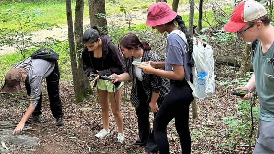
Let your students dive into solo and collaborative map projects. Use GIS to explore questions, generate data, and build maps to solve problems.

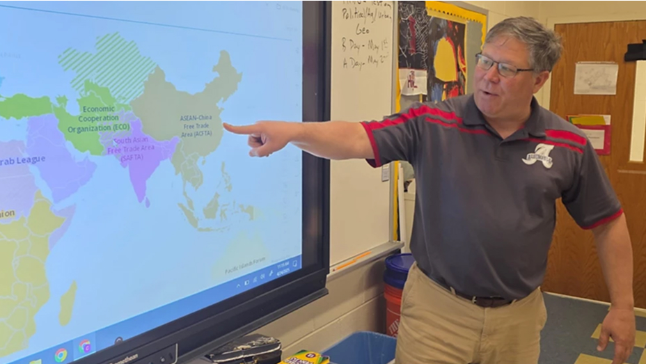
A Virginia social studies teacher uses ArcGIS to enhance lessons and engage students with modern technology.

At the West Virginia Department of Education, Dr. Erika Klose helps teachers and students access ArcGIS software across the district..
A new GeoEd program introduces GIS to STEM and special education teachers and students in the geosciences.

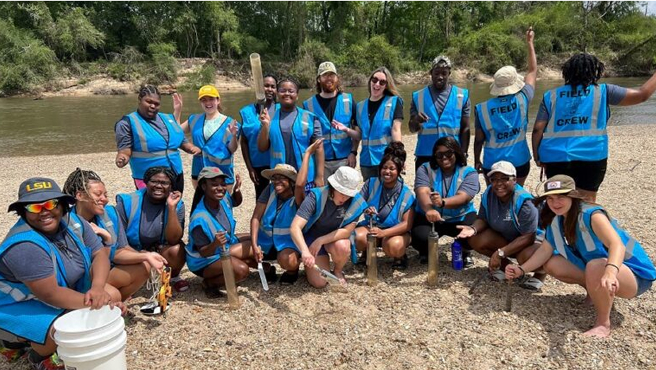
Learn how a sustainability challenge is helping young people gain vital workplace skills by using ArcGIS tools to solve real-world problems.
A student-friendly Survey123 app helps track invasive slugs and snails—which carry parasites that threaten Hawaii’s environment—through a project led by the Big Island Invasive Species Committee.
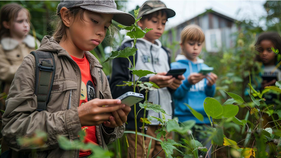
An after-school program uses GIS to boost students’ environmental literacy and help them develop research and communication skills.
Stay up to date on the latest lessons, news, and best practices for teaching with geospatial technology.