
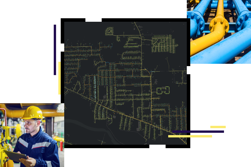
Gas Utilities
A comprehensive GIS—more than utility mapping
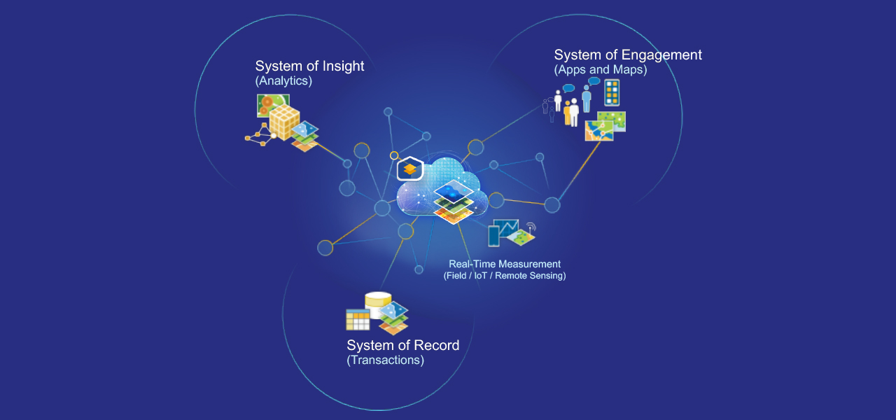
ArcGIS is a comprehensive GIS for gas utilities. It contains all the elements needed to meet utility challenges and maintains key information for natural gas distribution mapping and analysis. This technology suite also simplifies sharing analysis with everyone who needs business intelligence through a system of record, a system of engagement, and a system of insight.
Gas utilities business areas
Previous
Next
Gas utility initiatives
Esri International IMGIS
Attend Esri’s International Infrastructure Management GIS (IMGIS) Conference April 15–17, 2026, in Frankfurt, Germany.
Discover geospatial solutions for infrastructure’s biggest challenges. Join industry thought leaders, Esri experts, and GIS users to explore how to enhance workflows across industries—from utilities and telecommunications to architecture, engineering, and construction—using spatial analysis and new GIS capabilities.

Our community
Find out how your peers are using Esri technology to achieve their goals.
