Store
|
Contact Us
|
Careers
Home
Industries
Products
Training
Support
Services
Events
News
About
About Esri
Careers
Esri Video
Partners
ArcNews Online
Search
ArcNews
FALL 2004
COVER STORIES
T-SHIRTS WORLDWIDE
ArcNews Online
shares
selected
articles from the print edition.
Now with exclusive online-only articles.
Previous Issues
Summer 2004
Spring 2004
Winter 2003/2004
Fall 2003
Speaking the Language of Geography—GIS
: To Create a Better Future
24th Annual Esri User Conference Spotlights ArcGIS 9
: GIS—The Language of Geography Stresses Collaboration
-
Dr. Rita Colwell Shares Her Science of Cholera With Esri Users
: Former Director of the National Science Foundation
ArcGIS 9 Product Plans
Open Data Consortium Proposes Geodata Portal Requirements
Geographic Information Systems—Is the Term Still Meaningful?
Science and GIS in Antarctica
Implementing Enterprise GIS
-
OMV Group
-
DTE Energy Company
ArcGIS Raster Data Models
GIS Day 2004
: Special People Celebrating Spatial Things
NSGIC Report Shows States Making Progress on Statewide Coordination Programs
Extreme Esri T-Shirts!
T-shirt Photos from Previous Issues
GIS PRODUCT NEWS
GIS IN ACTION (cont.)
SCIENCE AND GIS
IN ANTARCTICA
Announcing Job Tracking for ArcGIS 9
: Improved Work Flow Management for Enterprise GIS Projects
Business Analyst Software Available for the ArcGIS 9 Release
: Now Includes Community Tapestry
PLTS for ArcGIS Extended
: Includes Aeronautical and Nautical Solutions
ArcGIS 9—A Complete Imaging Solution
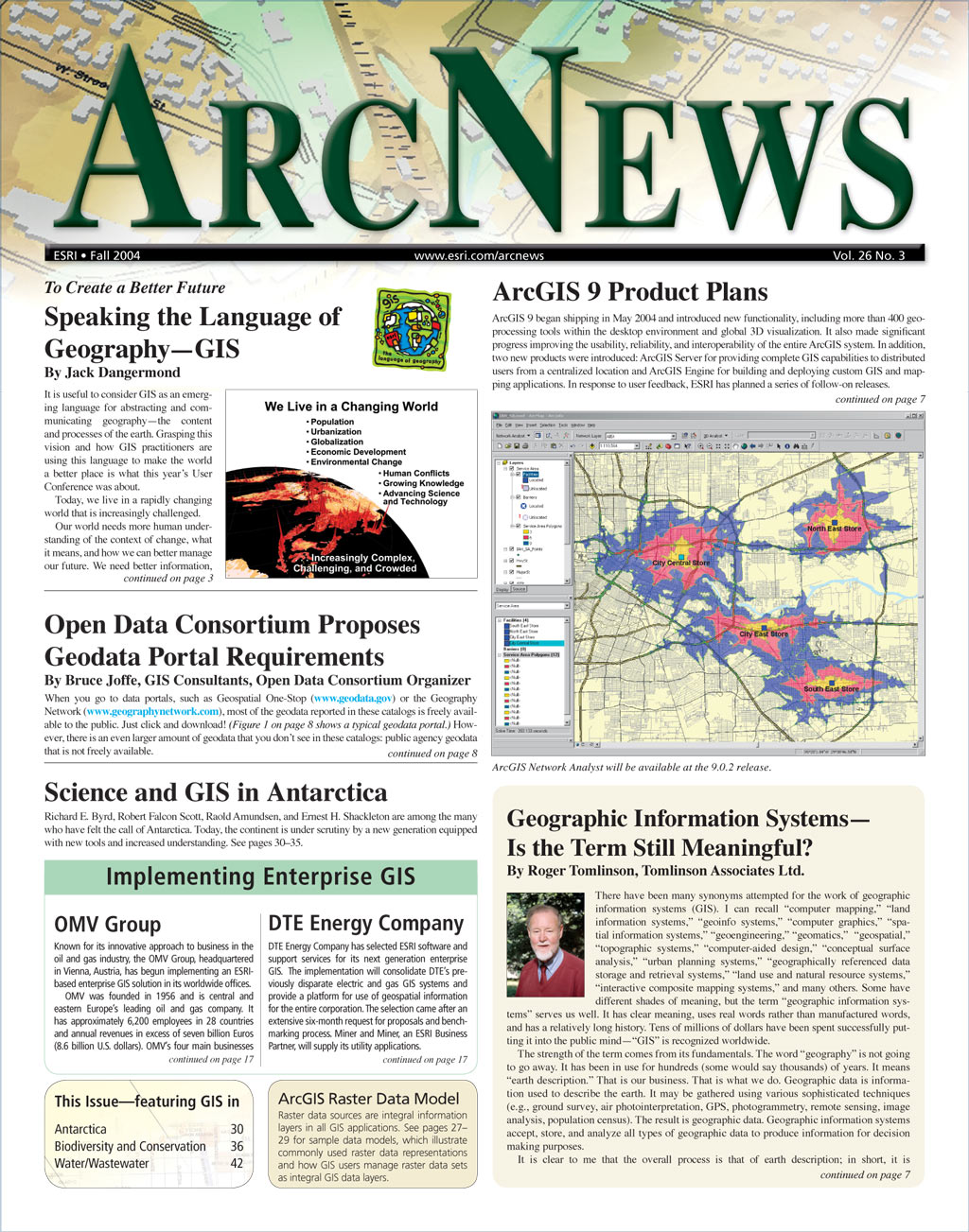
ArcGIS Network Analyst Development Progresses
ArcGIS Schematics 2.3 Expands Graphic Representation of Network Features
ArcGIS Data Interoperability Now Available
GIS IN ACTION
City of Hudson, Ohio, Implements Intranet-Based Enterprise GIS
Monitoring Cod in the Gulf of Maine
: Gulf of Maine Research Institute Uses Internet Technology
|Online Only Article|
Santa Cruz County, California, Converts From CAD to Geodatabase
GIS Helps Holy City of Touba With Land Management
: Senegal, West Africa
In Tulsa, Oklahoma, Public Schools Lower Transpor-tation Costs With GIS
The Talavera Tiles—Bringing to Light and Preserving Historic Maps
Exclusive
ArcNews Online
Articles
USGS EROS Data Center Produces Seamless Hydrologic Derivatives With GIS
|Online Only Article|
Polish Telecom Implements GIS-Based Decision Support System
Organizations Embrace ArcGIS Engine to Build Custom Applications
Esri Business Partners Solutions—Data, Software, and Services
Serving More Data Online With ArcIMS
SPOTLIGHT ON GIS IN
BIODIVERSITY AND
CONSERVATION
Virginia Department of Forestry Uses Internet GIS to Reach Landowners
Coral Communities in Hawaii Mapped With GIS and Geospatial Video
Preserving Biodiversity in Russia's Meshora Lowland
: Using GIS for Image Analysis and Land Cover Classification
Amongst the Icebergs, GIS Innovation Aids Antarctic Research
Scientific Research Uses GIS in the McMurdo Dry Valleys, Antarctica
Access Antarctica—The New Zealand Antarctic GIS
Long-Term Environmental Monitoring at McMurdo Station, Antarctica, Supported With GIS
GIS SOLUTONS FOR
WATER/WASTEWATER
The City of Atlanta, Georgia, Meets 21st Century Water/Waste-water Demands With GIS
Swiss Agencies Promote GEWISS as a Gateway to Water Resources Data
: The GIS-Based Swiss Water Information System Monitors Subterranean and Surface Waters
Marin Municipal Water District Updates Infrastructure With GIS
: Esri and SAP Integrated Water Management Solution
-
Aspects of Esri-SAP Integration at Marin Municipal Water District
GIS COMMUNITY NEWS
Esri Project Center: Supporting Successful GIS Solutions
Making the Case for GIS—Measuring the Benefits
: A New Book From Esri Press
Geography Education Needs Congressional Support
2004 Esri Middle East User Conference
: Dubai, December 7–9, 2004