Latest Land-Cover Data Release Shows More Change Over Time
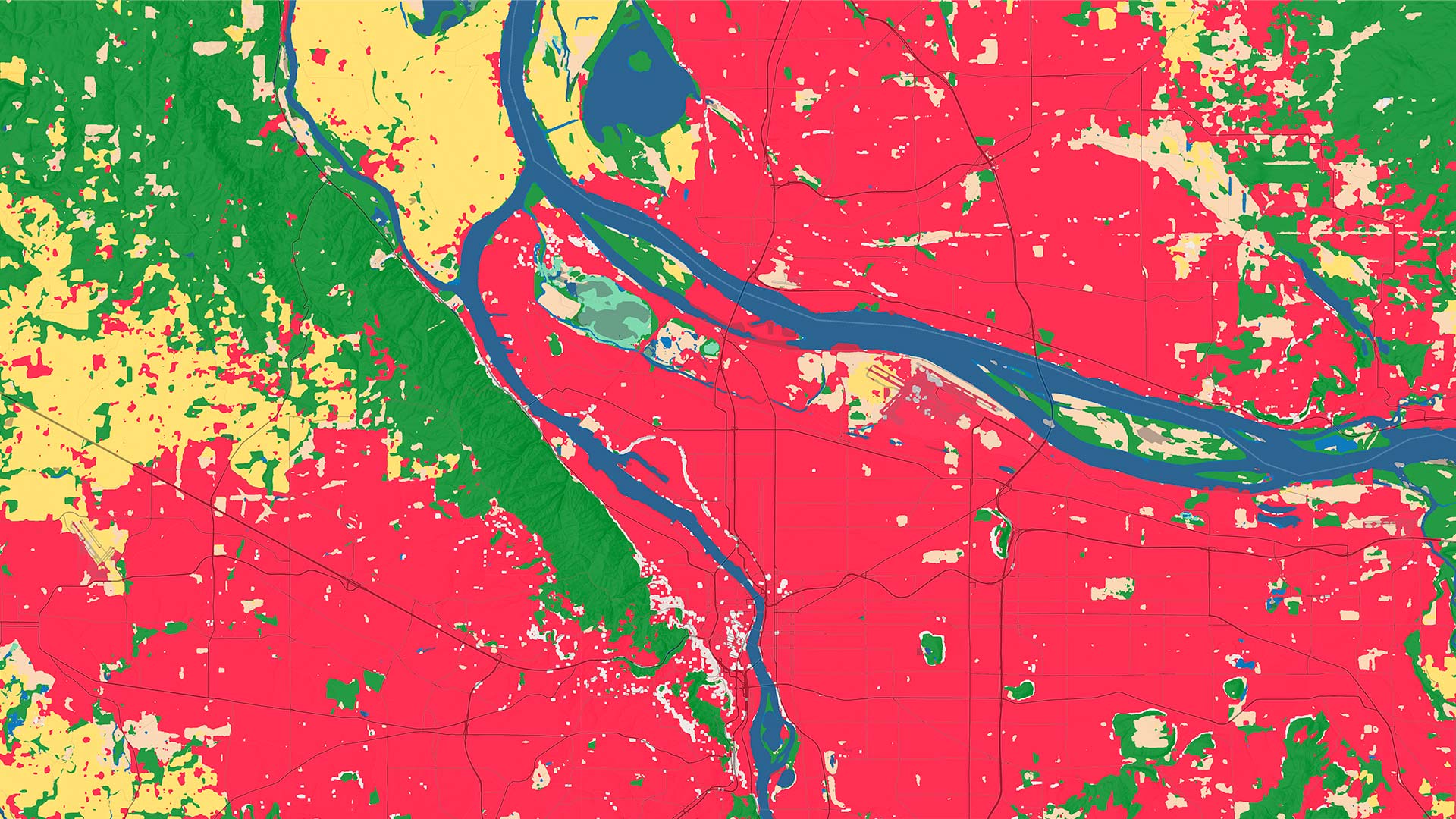
Anybody can drill in to a location of interest anywhere in the world to conduct land-cover analysis from 2017 through 2025.
Anybody can drill in to a location of interest anywhere in the world to conduct land-cover analysis from 2017 through 2025.
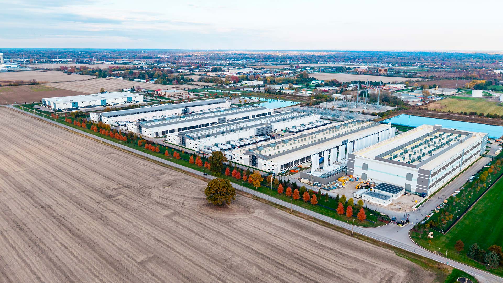
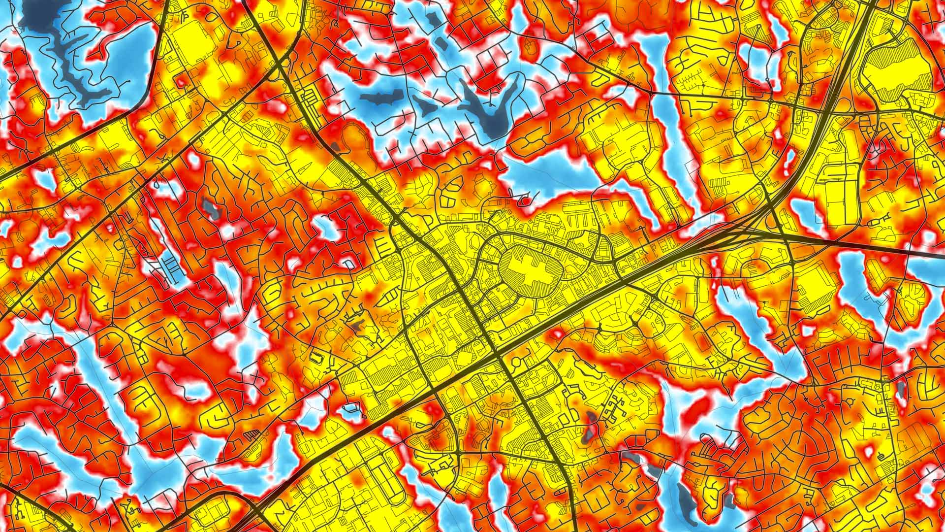
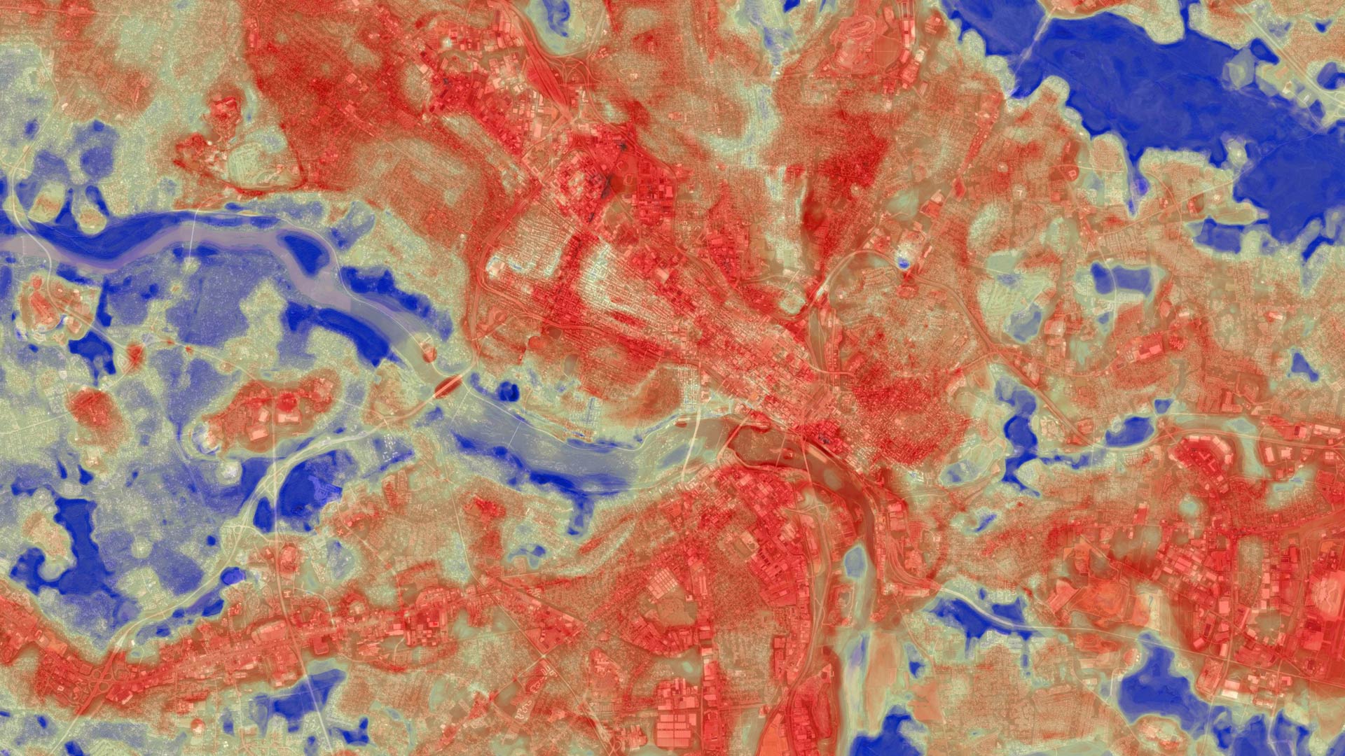
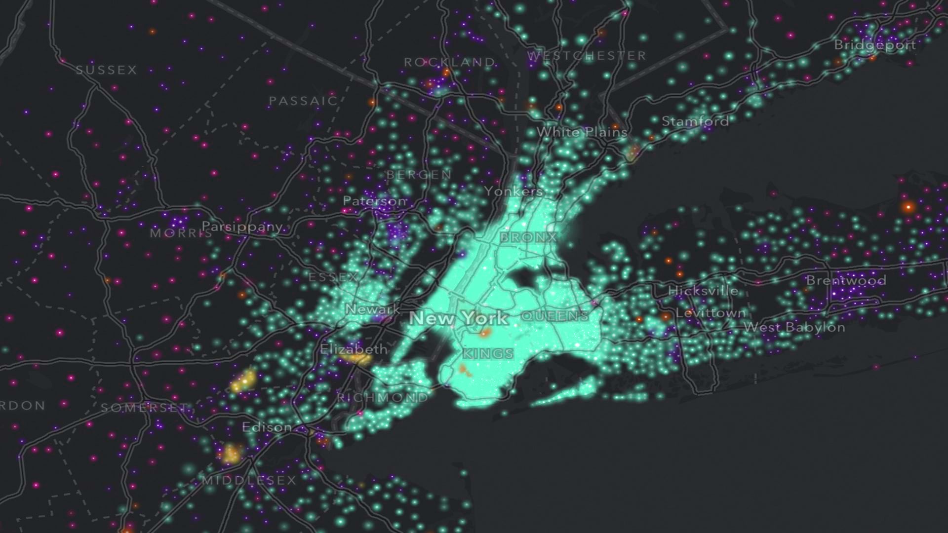
The explosive growth of data centers and AI workloads has changed how power is consumed, planned, and priced—and these maps show it.
Tucked in ArcGIS Living Atlas of the World, they are ready to extract features and classify pixels from imagery and other geospatial data.
This collection of high-quality maps and layers provides a powerful starting point for developing policies that can change communities.
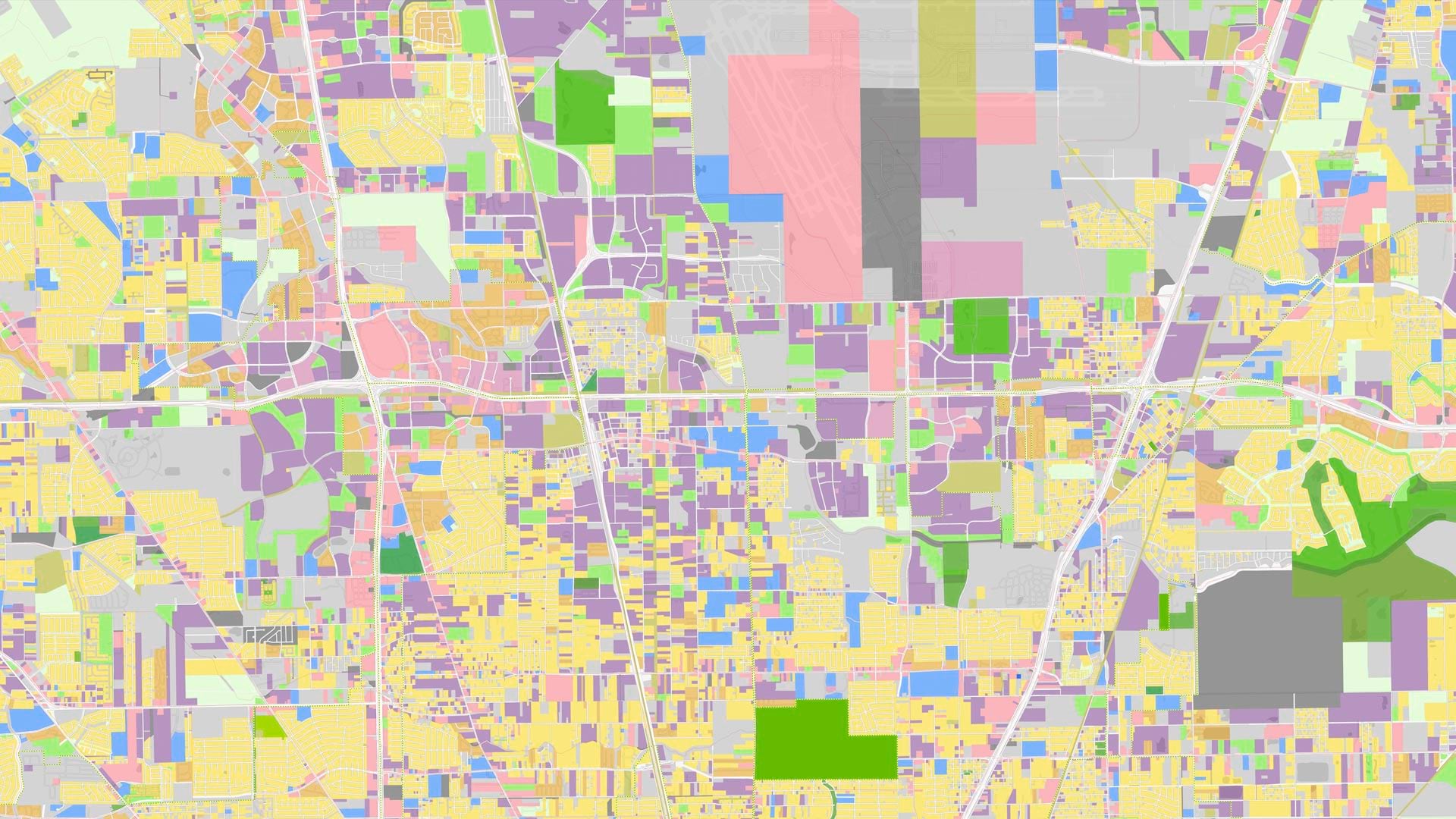
The Annual NLCD Collection represents a new era of land-cover mapping for the United States—and it is available to Esri users.
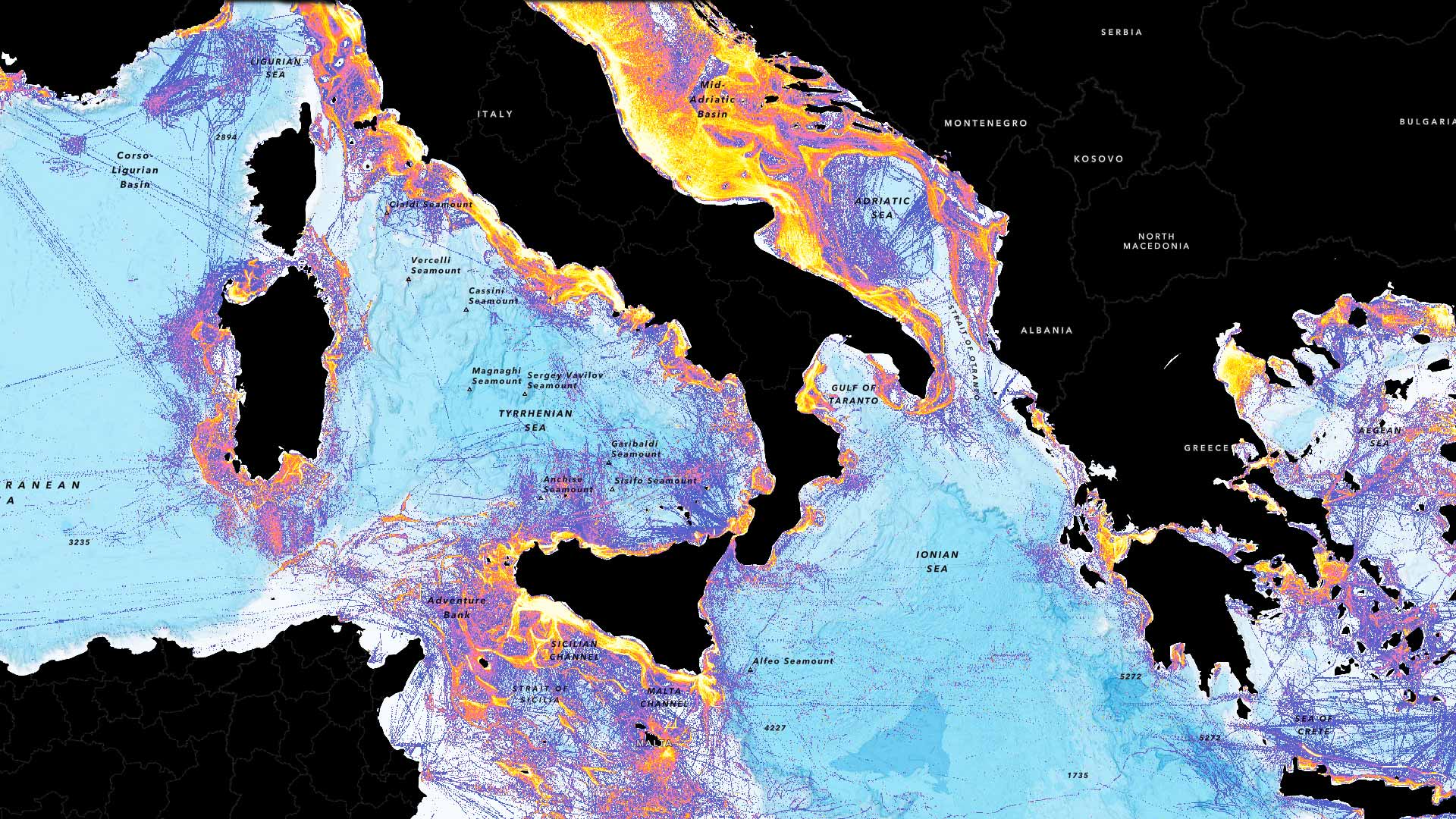
ProtectedSeas, a pioneering project that maps and shares global ocean protection data, is now part of ArcGIS Living Atlas of the World.
The team employed ready-to-use content and capabilities from ArcGIS Living Atlas of the World, serving as a use case for a new tutorial.
New fishing layers in ArcGIS Living Atlas of the World let users gauge the intensity of fishing operations around the globe.
ArcGIS Living Atlas has up-to-date ACS data, Esri and NOAA are creating a hub for ocean data, and Autodesk Forma is getting geospatial data.
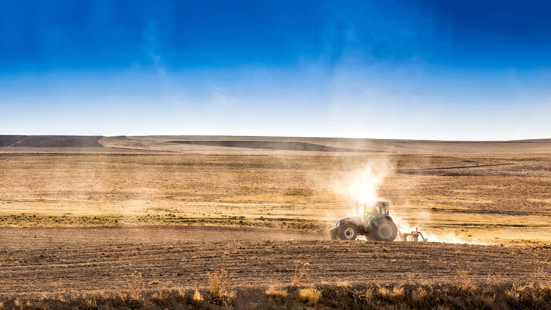
With data layers such as population, river flow, and crops, the app shows the impacts of drought on communities across the United States.
Administrators can now refresh the maps, layers, scenes, and apps available from ArcGIS Living Atlas of the World within ArcGIS Enterprise.
What do you get when you combine big data, satellite imagery, and AI? High-quality land-cover models in ArcGIS Living Atlas of the World.