Oklahoma Automates Election Data Maintenance, Improving Accuracy
After moving to ArcGIS Pro, the small team that manages the state’s voting-related street records made the data easier to share and use.
After moving to ArcGIS Pro, the small team that manages the state’s voting-related street records made the data easier to share and use.
Learn more about AI in ArcGIS, check out ArcGIS Pro Shorts for quick tutorials on key tools, and see what innovation award Esri won.
After migrating to ArcGIS Pro, the Albuquerque Bernalillo County Water Utility Authority used its own data to train staff on the new system.
When every second counts, having the most powerful tools before, during, and after flooding is integral to community safety.
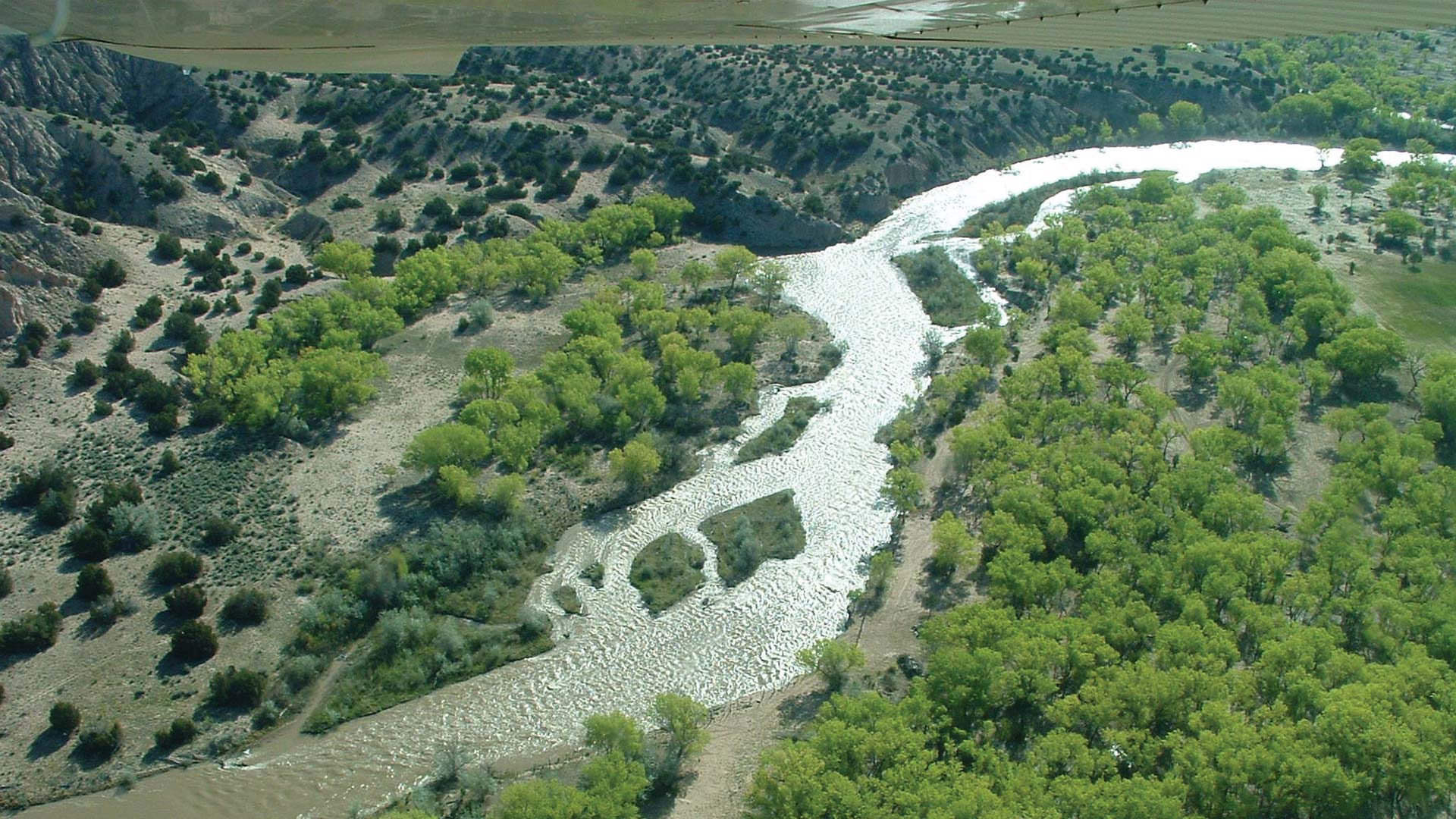
Using advanced GIS, several organizations are identifying key issues along the river and prioritizing sustainable interventions for funding.
Join the ArcGIS Pro assistant early adopter community to help create a tool that simplifies workflows and empowers more users.
“I would not go back to ArcMap if you told me to,” said Maury County GIS analyst Johnny Stephens, who was initially skeptical of the change.
The extension for ArcGIS Pro helps the Bureau of Aeronautics map airports and their surrounding areas—both on the ground and in the air.
Check out resources for users who need to migrate to ArcGIS Pro, new NAIP imagery in ArcGIS Living Atlas, and system health notifications.
Hammerhead Technology used ArcGIS Pro to compare power line locations with places where howler monkey electrocutions had occurred.
ArcGIS provides the foundation for the mosquito suppression program, which tracks when and where dengue transmission has occurred.
To account for unique geography and elevation variation, the city used an ArcGIS Pro script tool to model streetlight distribution in 3D.