A Small Utility Sees Big Gains with GIS and AI
The City of Starke, Florida, transitioned from analog processes to a digital-first approach—without going over budget.
The City of Starke, Florida, transitioned from analog processes to a digital-first approach—without going over budget.
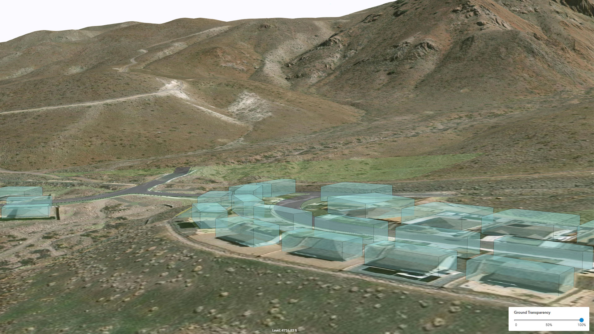
The design platform built by Esri Startup program graduate Allsite.ai produces digital twins of city-size construction projects.
Johns Creek, Georgia, deployed Konveio’s Plan Hub—an AI-powered, geospatially enabled framework built on ArcGIS Experience Builder.
Staff now have real-time insight into operations, leverage prescriptive analytics, and benefit from AI-enhanced decision-making.
To streamline and simplify sidewalk evaluations, the Town of Erie, Colorado, turned to DeepWalk and geospatial technology.
With West Broad Street in Columbus, Ohio, becoming a rapid-transit bus corridor, Esri startup partner inCitu used AR to get public buy-in.
With ArcGIS technology, Fire Neural Network maps high-risk lightning strikes to help firefighters and communities allocate resources.
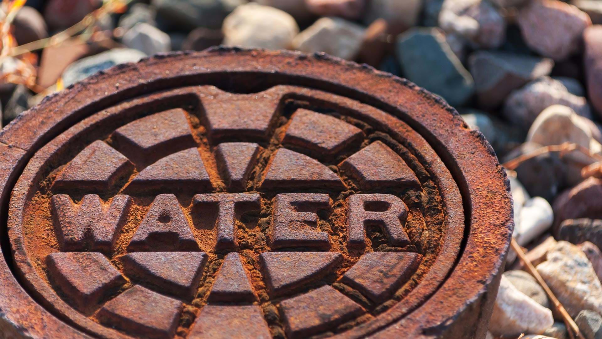
A linear asset risk model now helps Omaha’s Metropolitan Utilities District prioritize water main renewal and assessment projects.
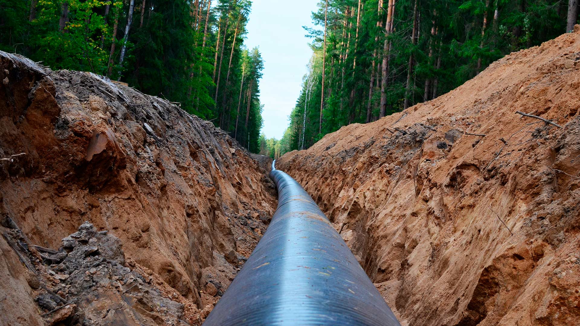
An Esri startup partner graduate helped a US pipeline client comply with federal safety requirements.
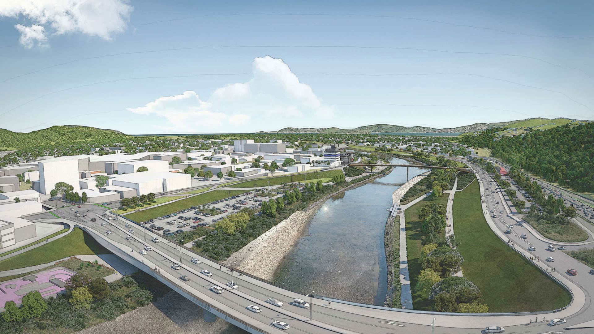
Esri startup partner Reveal helped a New Zealand community with flood protection, transportation upgrades, and urban revitalization.
With Gilytics’ GIS-based platform, Pathfinder, companies can optimize design, routing, and stakeholder engagement.
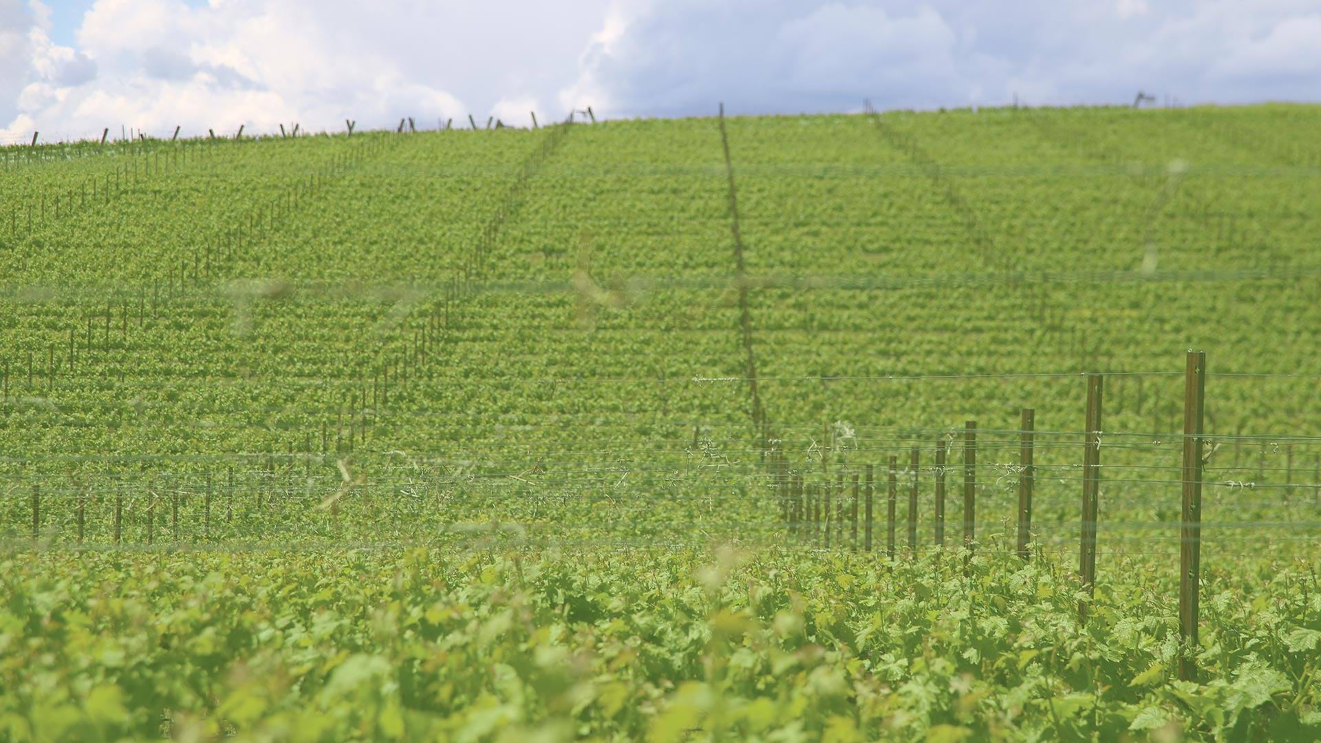
By using aerial imagery, staff at Shaw Vineyards can now identify and fix irrigation leaks quickly, resulting in a more uniform vine canopy.