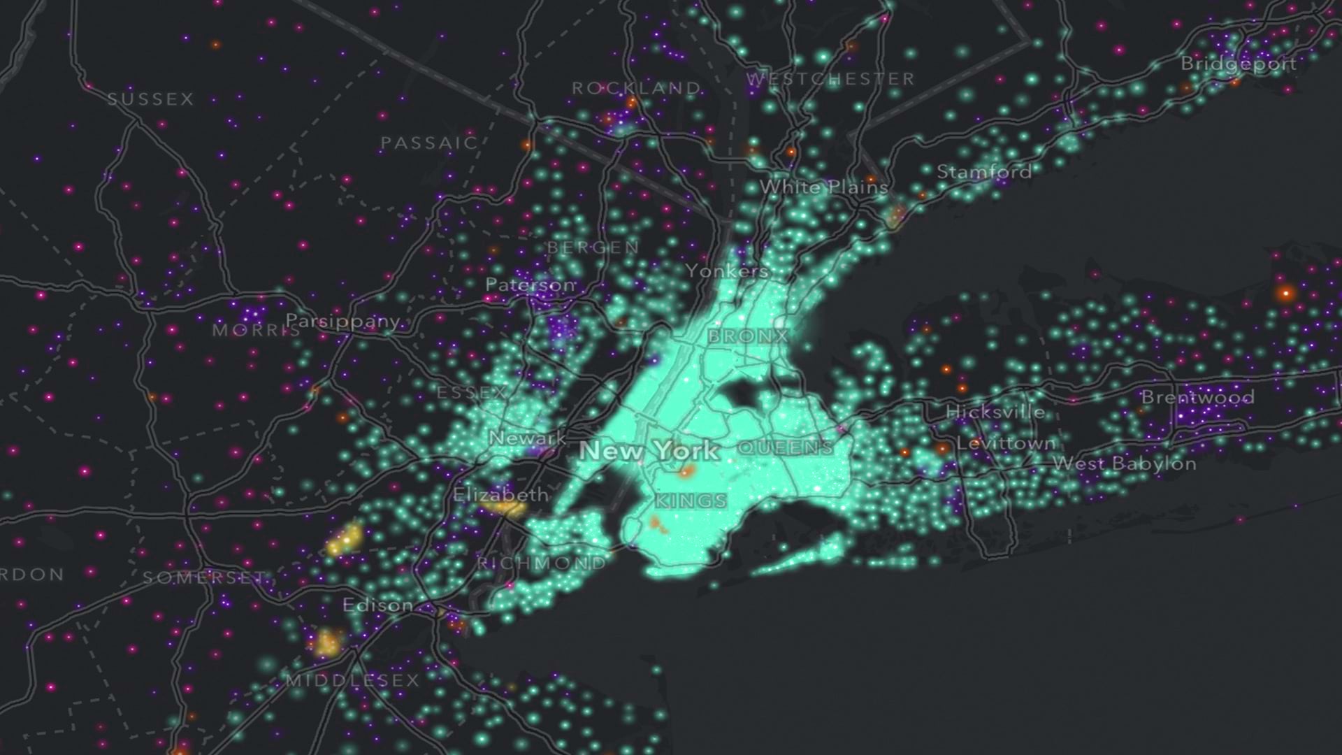
Navigating the Imagery Landscape
Find out how to choose the best imagery for your project. Review the different types and learn about various capture methods.
Find out how to choose the best imagery for your project. Review the different types and learn about various capture methods.
Esri has made strong progress in developing AI tools, models, and assistants. Now, agentic AI is extending GIS beyond traditional users.
In collaboration with Esri, the agency is meeting GIS practitioners where they work: in ArcGIS.
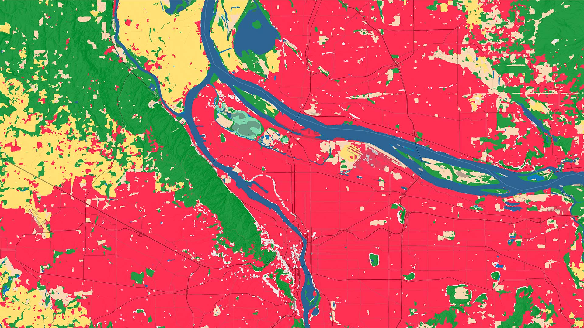
Anybody can drill in to a location of interest anywhere in the world to conduct land-cover analysis from 2017 through 2025.
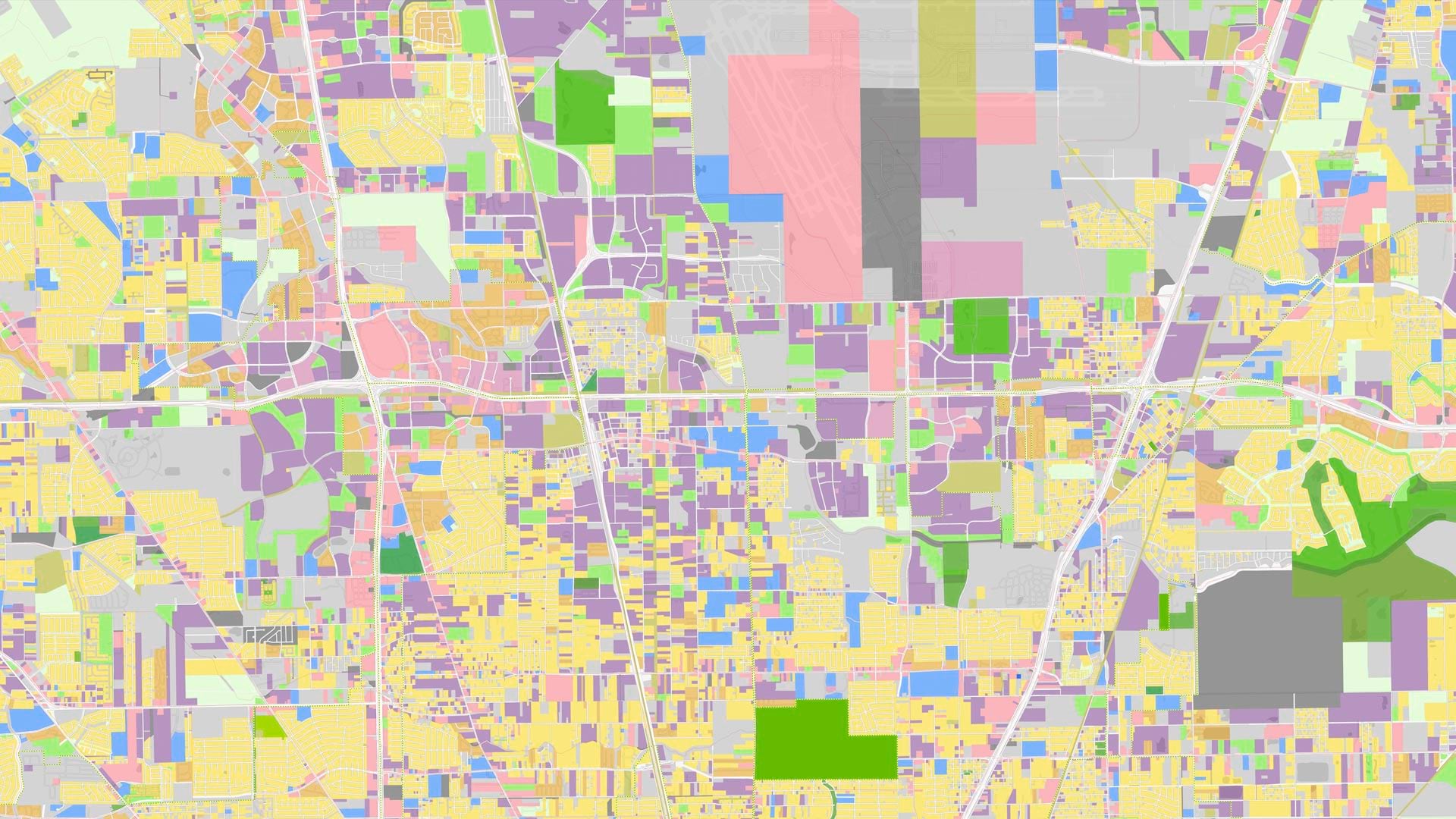
Learn to work with imagery and remote sensing data, and get primed on how to read and understand maps.
Esri is proud to assist AfriGEO in providing coordinated, comprehensive Earth observation for better decision-making that sparks innovation.
The Annual NLCD Collection represents a new era of land-cover mapping for the United States—and it is available to Esri users.
The team employed ready-to-use content and capabilities from ArcGIS Living Atlas of the World, serving as a use case for a new tutorial.
The new Content Store for ArcGIS provides a single access point to high-quality, current imagery from multiple leading commercial providers.
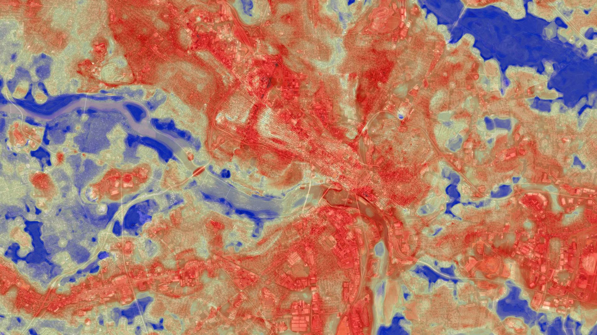
ICEYE’s radar imaging can see through smoke, clouds, and at night. In Los Angeles, it helped disaster response agencies get a head start.
Administrators can now refresh the maps, layers, scenes, and apps available from ArcGIS Living Atlas of the World within ArcGIS Enterprise.
What do you get when you combine big data, satellite imagery, and AI? High-quality land-cover models in ArcGIS Living Atlas of the World.