Geospatial Brain Power
Researchers are studying what effect a spatial education has on the development of the spatial thinking and reasoning skills of high schoolers.
Researchers are studying what effect a spatial education has on the development of the spatial thinking and reasoning skills of high schoolers.
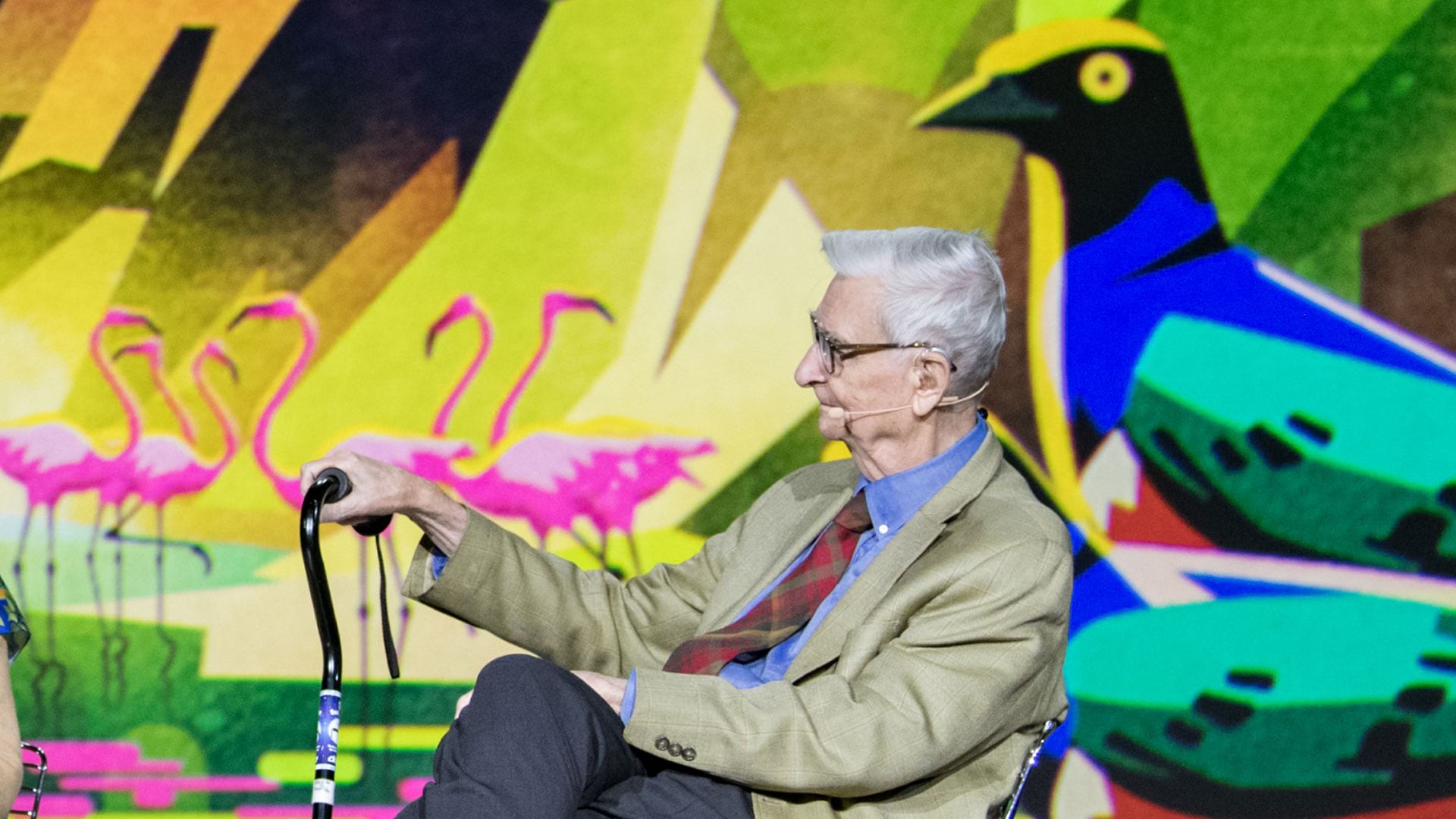
Biologist Edward O. Wilson, long focused on ants, is helping lead an effort to protect biodiversity worldwide through the Half-Earth Project.
The City of Pasadena, NatureServe, the US Census Bureau, and other organizations show how GIS helps them see what others can't see.
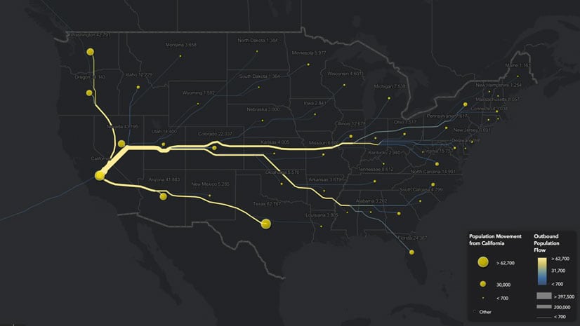
Lisa Berry from Esri used change of residence data from the IRS and the Distributive Flow Lines tool to map where people move within the US.
Configure or upgrade your GIS by packaging ArcGIS with Dell products, including Dell PowerEdge Server or a Dell Workstation.
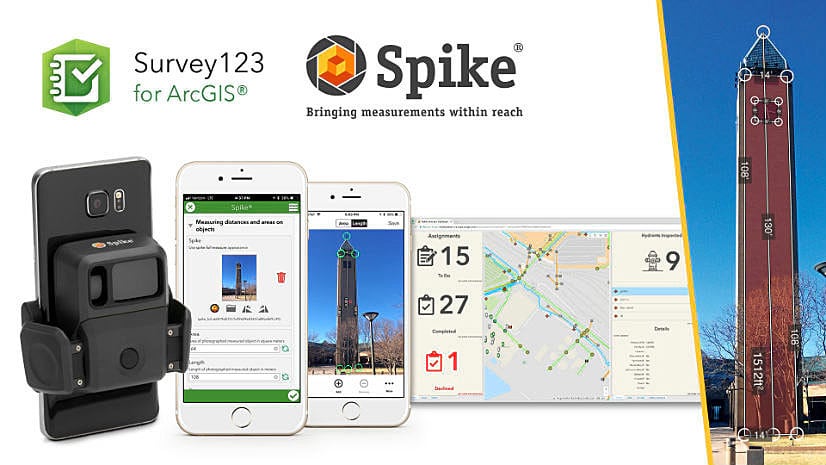
Take advantage of a discounted offer of Spike, a laser measurement device from ikeGPS that works well with Survey123 for ArcGIS.
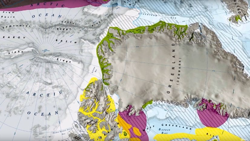
Use the Paleogeography & Plate Tectonics story map to go back in time and see how land masses moved due to plate tectonics.
Guoping Huang from the University of Virginia created the Charlottesville Bicycle Map, a web app for finding bikeable routes.
Whether you need to find where the fewest Americans have health coverage or where a typhoon is heading, you can use GIS to get answers.
See the updated style in the World Navigation vector tile layer and learn what you can do with the new ArcGIS Vector Tile Style Editor.
Data Appliance 7.0 for ArcGIS includes Esri vector basemaps and preloaded imagery, basemaps, and reference layers, all behind your firewall.
Esri has built the framework for a rivers and streams map that makes real-time stream and river gauge information accessible to ArcGIS Online...