Share Subscriber Content in Maps, Apps
Learn ways to use ArcGIS Living Atlas of the World subscriber content in public maps and apps.
Learn ways to use ArcGIS Living Atlas of the World subscriber content in public maps and apps.
The National Geospatial-Intelligence Agency staff demonstrates how Esri technology helps the organization conduct analysis.
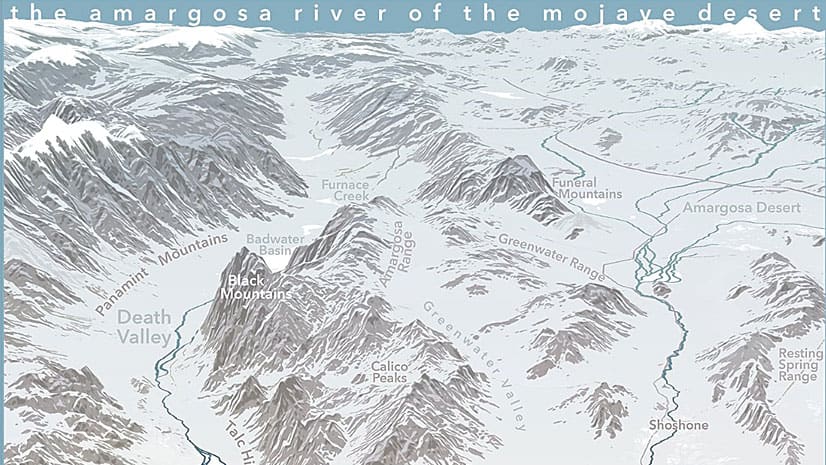
Get tips on how to use ArcGIS Pro and Adobe Photoshop to create a map that expresses the feeling of a location.
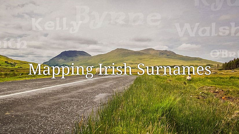
Honor your ancestors with an Esri Story Maps app such as this one called Mapping Irish Surnames.
People who work in the electric, gas, water and telecommunications industries are invited to the new Esri European GeoConX Conference this May.
Conservation photographer Carlton Ward Jr., says geodesign and storytelling will play a critical role in conserving land for Florida wildlife.
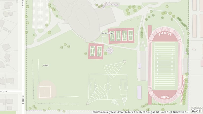
Use the Community Maps Editor app, now in beta, to create and edit detailed features for special areas of interest within your communities.
Authors James and Deborah Fallows crisscrossed America’s heartland in a small plane to document economic and cultural changes in communities.
Configure or upgrade your GIS by packaging ArcGIS with Dell products, including Dell PowerEdge Server or a Dell Workstation.
Learn to create a minimalist map graphic for your website that has what Esri cartographer John Nelson calls a “spatio-technical vibe.”
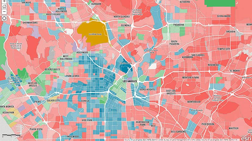
Walking seems to be the most popular alternative to driving to work alone in Beverly Hills, California. How do your neighbors get to work?
Learn about weather concepts and how to create a map of real-time weather data in this ArcGIS Lesson.