Highlight Your Area of Interest
Emphasizing an area can help bring focus to your maps. Learn to use filters and the drop shadow effect to best highlight your data.
Emphasizing an area can help bring focus to your maps. Learn to use filters and the drop shadow effect to best highlight your data.
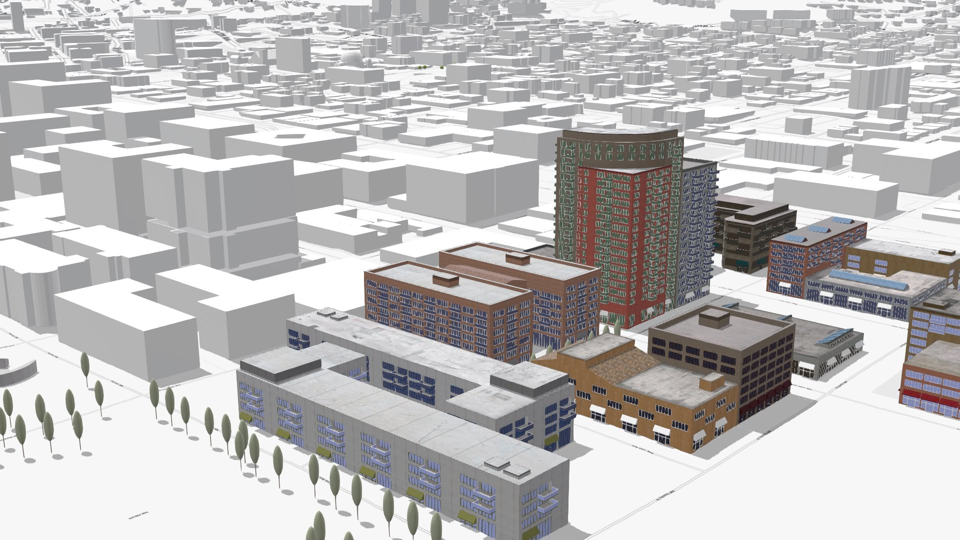
Add context to your scenes with the new OpenStreetMap layers from ArcGIS Living Atlas of the World.
Improve the accessibility of your maps with new Enhanced Contrast basemaps in ArcGIS Living Atlas of the World.
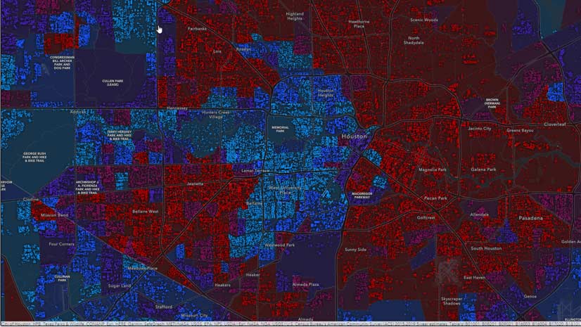
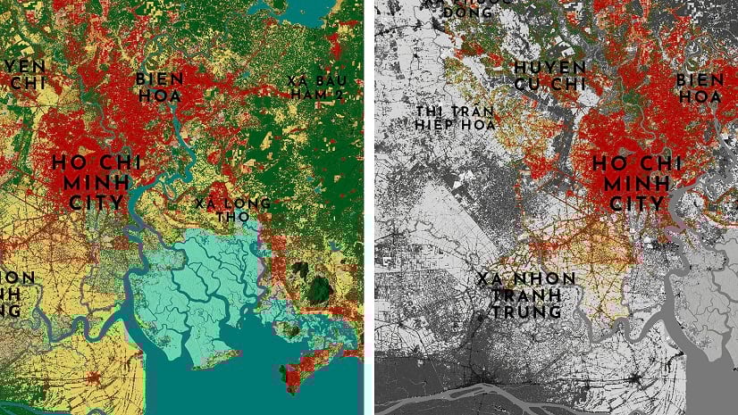
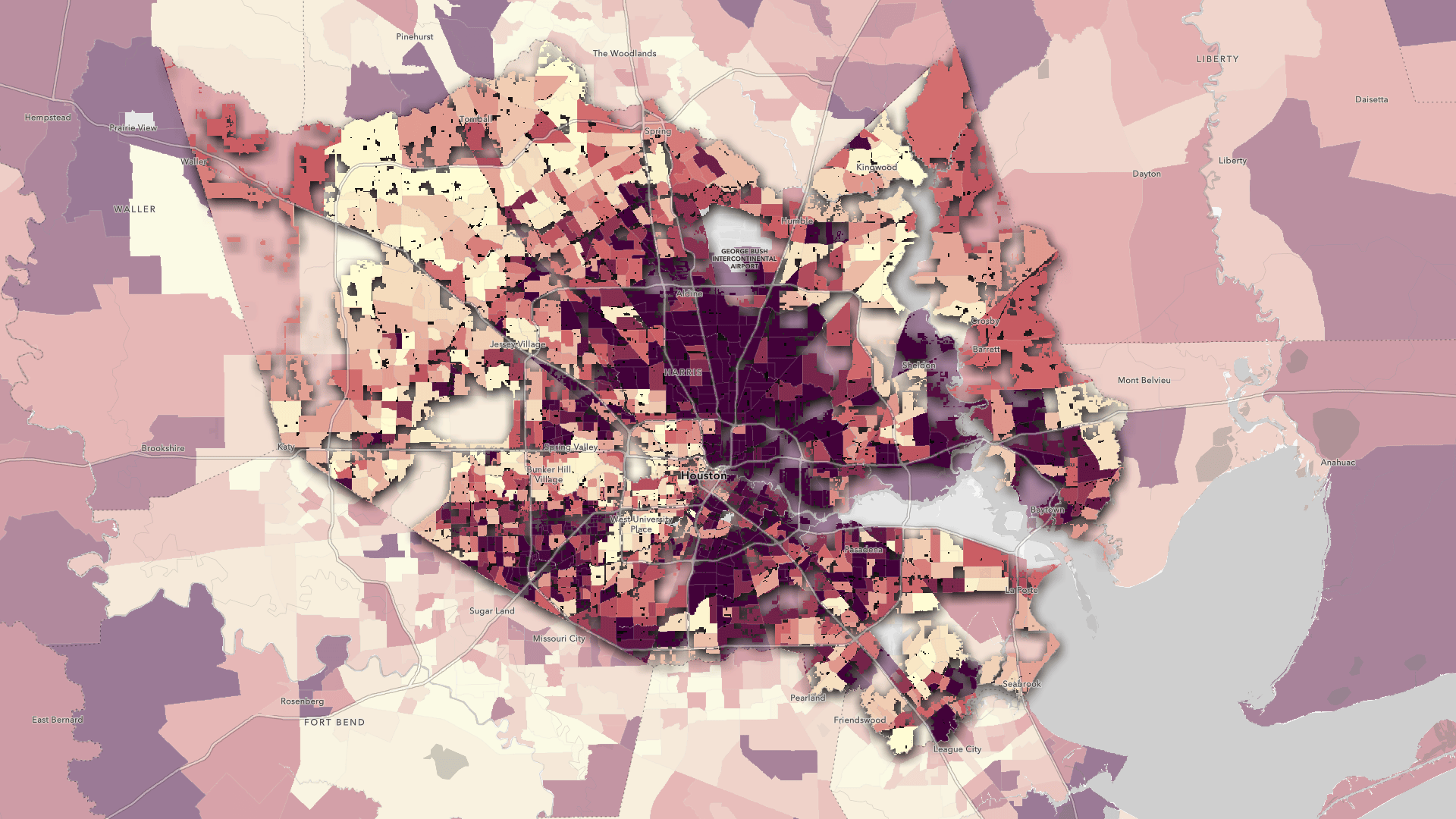
Index maps let you bring multiple topics into one map to spot overarching patterns. Map the factors stressing your community with this format.
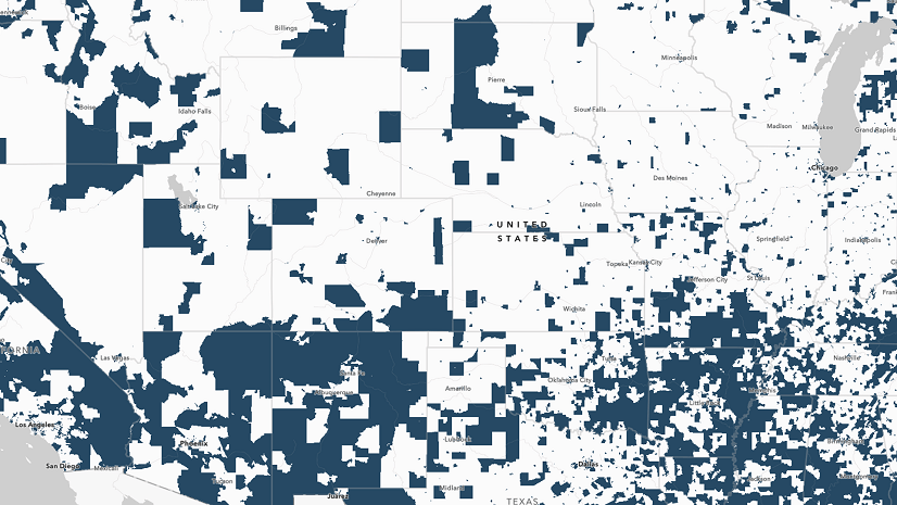
Esri has released new data on disadvantaged communities on ArcGIS Living Atlas of the World. Learn more in this blog.
These new layers in the ArcGIS Living Atlas of the World bring a fresh perspective to tree coverage in the world’s most populous cities.
Technology evangelist Bern Szukalski walks you through how to access and best use subscriber content on ArcGIS Living Atlas of the World.
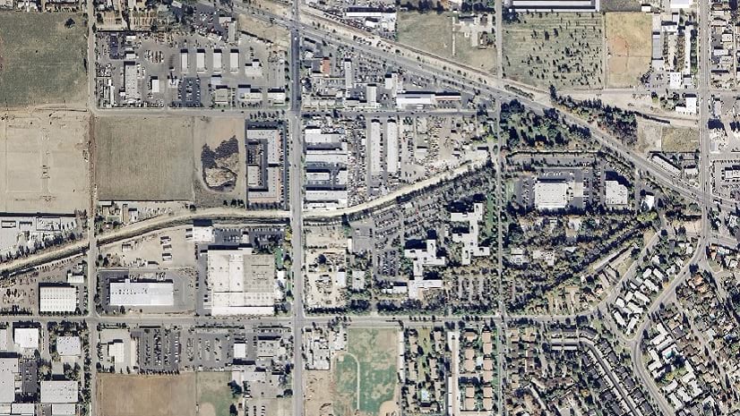
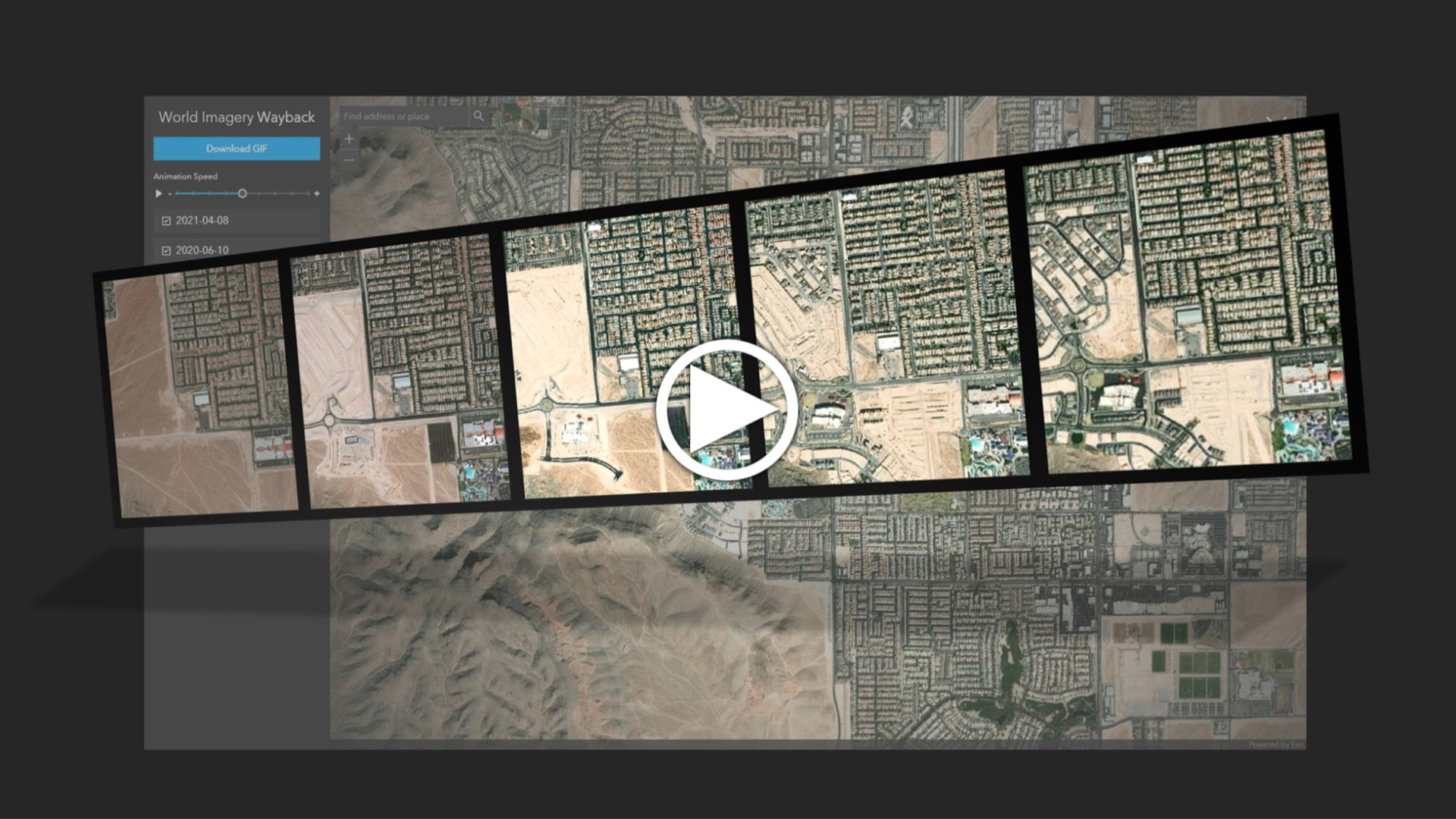
Learn how to use the Wayback app or the ArcGIS Living Atlas of the World to access imagery archives in ArcGIS Online.
Where do you go when you need data for your maps and apps? Esri technology evangelist Bern Szukalski points you in the right direction.
The United States Census Bureau has collected data on gender identity and sexual orientation, which has been added to ArcGIS Living Atlas.
Learn to create and share animations of your images of interest using the World Imagery Wayback app.
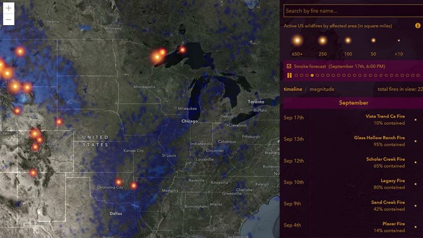
The smoke forecast layer in the USA Wildfires map saw some improvements, including the addition of smoky-looking smoke.