Noise Pollution Sickens People in Europe Each Year—Maps Show Where
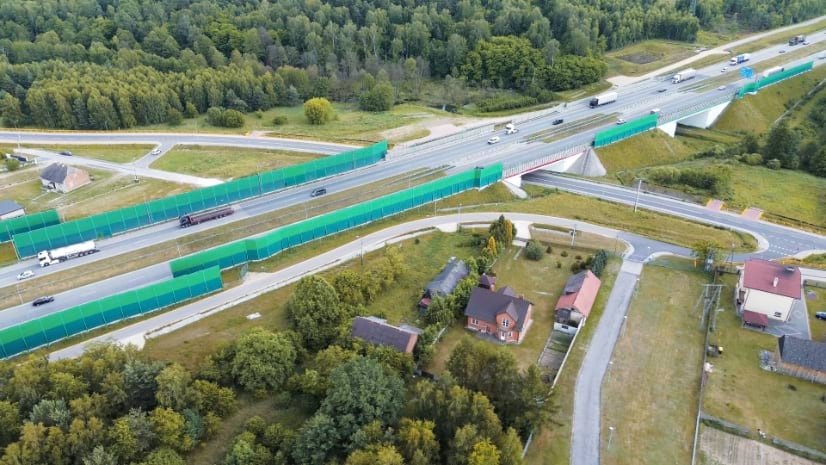
European countries make noise maps that become a key part of setting public policy and showing noise pollution exposure to the public.
European countries make noise maps that become a key part of setting public policy and showing noise pollution exposure to the public.
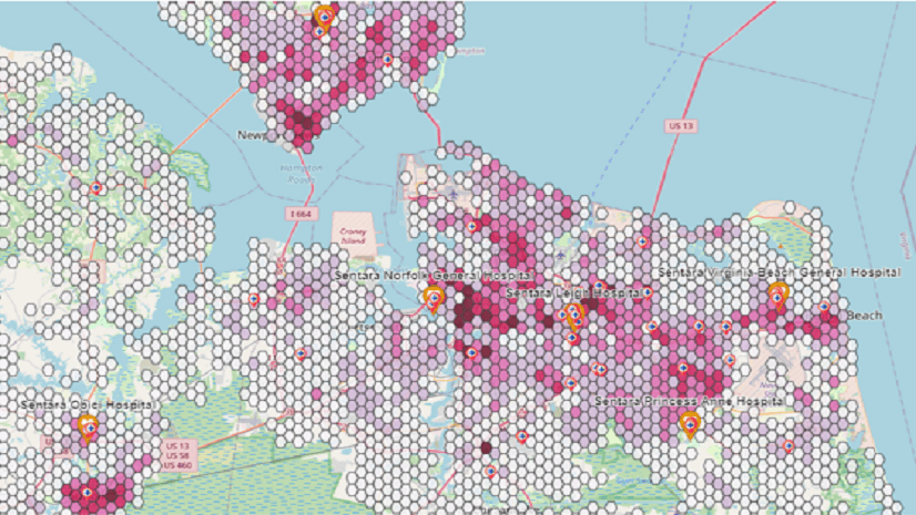
Mahoning County Public Health is fighting substance abuse and improving community outcomes with the Opioid Epidemic Outreach solution.
The geographic approach allows you to visualize environmental factors impacting a community's health. GIS tools operationalize this approach.
Learn how to leverage GIS tools for complying with network adequacy and enhancing health equity.
Join us in Chicago, May 2-3, 2023, to explore how improved health outcomes and better accessibility to healthcare lead to healthier communities.
In order to contain the spread of the flu, organizations can leverage GIS to mitigate its impact on communities.
Esri is looking to address how location data can help address mental health and created a StoryMap highlighting areas suffering the greatest.
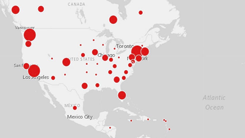
Geographic information is the common denominator for any public health crisis. Explore how experts can use GIS to slow the spread of monkeypox.
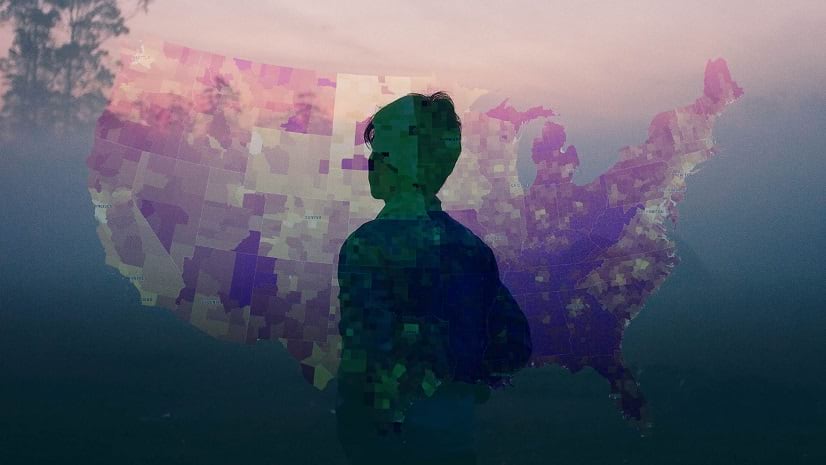
Everyone deserves the opportunity to live a healthy life. Explore how GIS can best support health equity at the policy level.
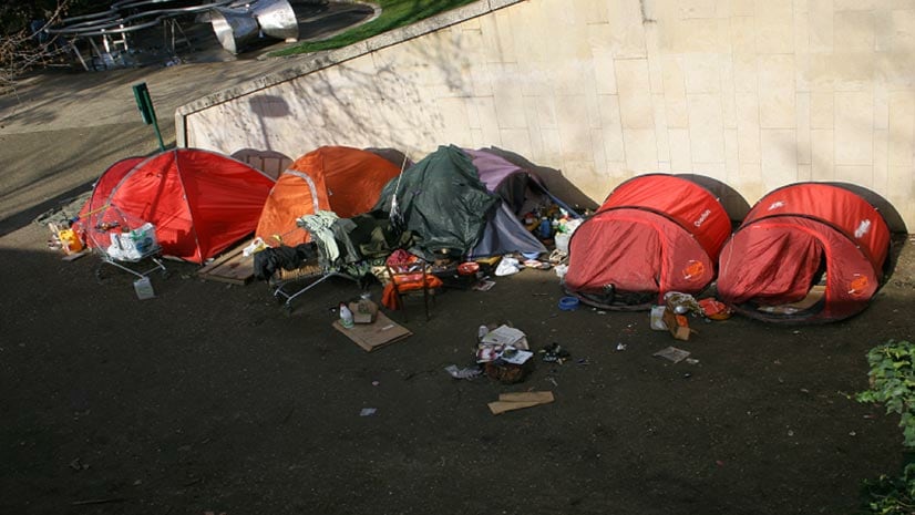
With apps like ArcGIS Survey123, communities are better equipped to keep track of and assist those affected by homelessness.
Healthcare takes center stage at the Esri Health and Human Services GIS Conference in Redlands, California, May 4-5.
New books from Esri include GIS Tutorial for ArcGIS Pro 2.8 and GIS for Science, Volume 3: Maps for Saving the Planet.