June 21, 2022 |
Dr. Dawn Wright | Conservation
January 20, 2026
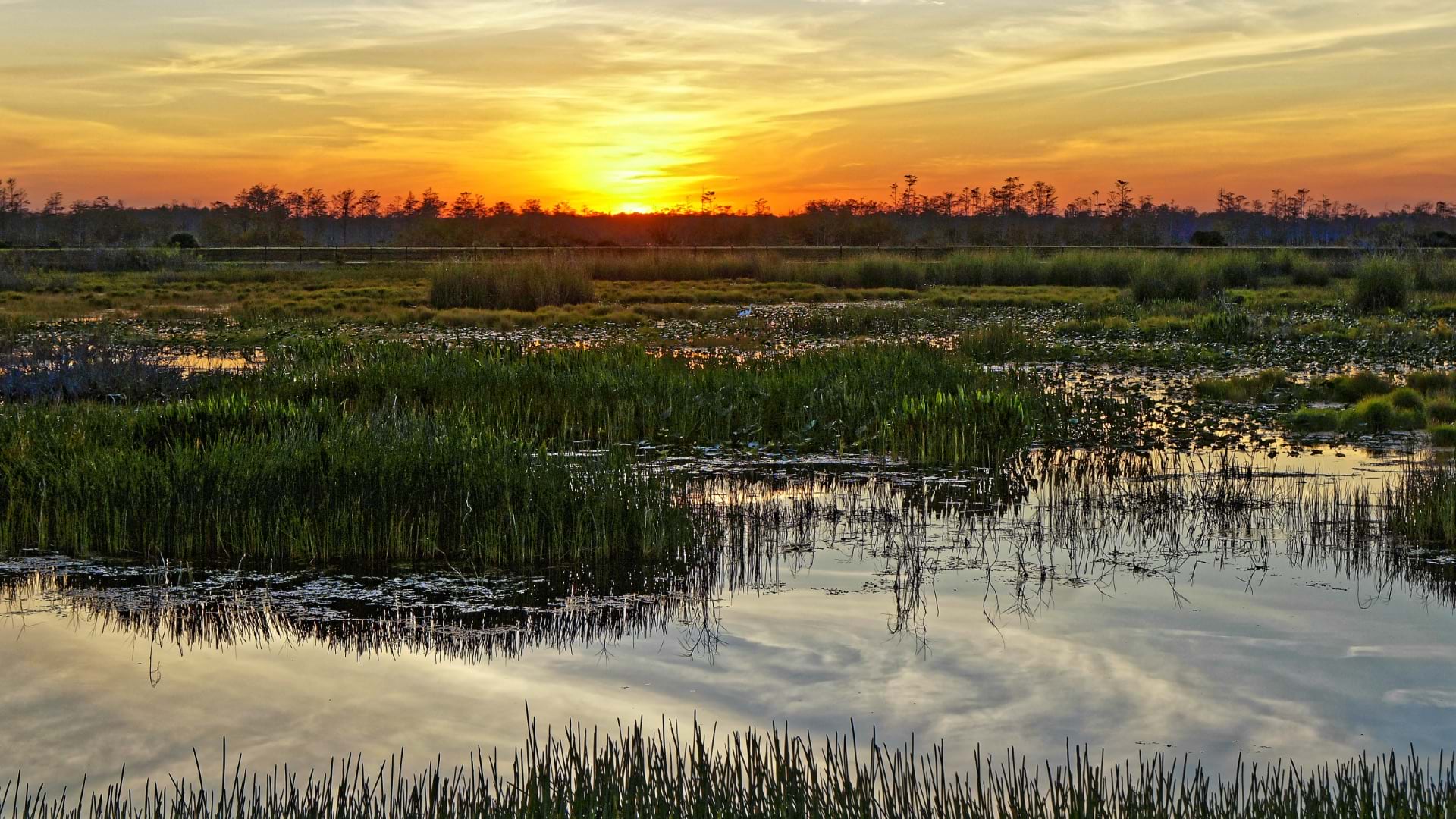
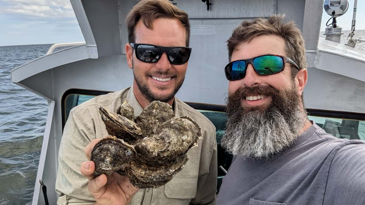
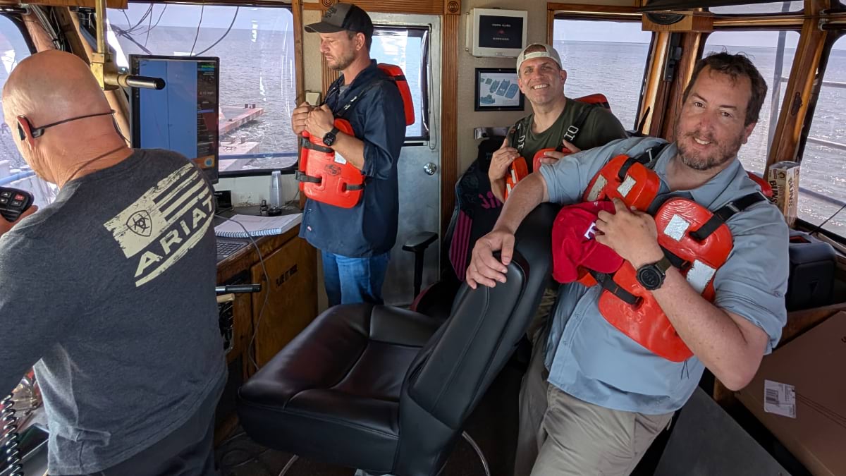
It’s morning on a Louisiana bay. Two oyster fishermen and a marine biologist stand on the deck of a small boat, scanning the rippling water. The air is warm and briny, the hum of the engine low as they drift. The marine biologist holds a phone, the screen glowing with a live map.
For generations, Gulf fisherman have relied on instinct and generational knowledge—reading the water, listening to the wind, and tapping the bay floor with poles to feel whether it’s mud, firm ground, or reef. Now, that same information is captured and shared instantly on a digital map.
It’s the work of CV Carbon, an organization that partners with the commercial oyster industry to restore ecosystems and ensure the sustainability of oyster reefs. The goal is to carry out traceable, transparent, and scalable restoration efforts—designed to support both the ecosystem and the people who depend on it. By tying restoration to carbon markets, CV Carbon also creates new revenue streams that help compensate fishermen for their long work days and fill gaps caused by catch fluctuations.
“Restoring oysters isn’t just about ecology,” said Jeff Pinsky, a fisheries ecologist and cofounder of CV Carbon. “It’s about sustaining a culture and way of life.”
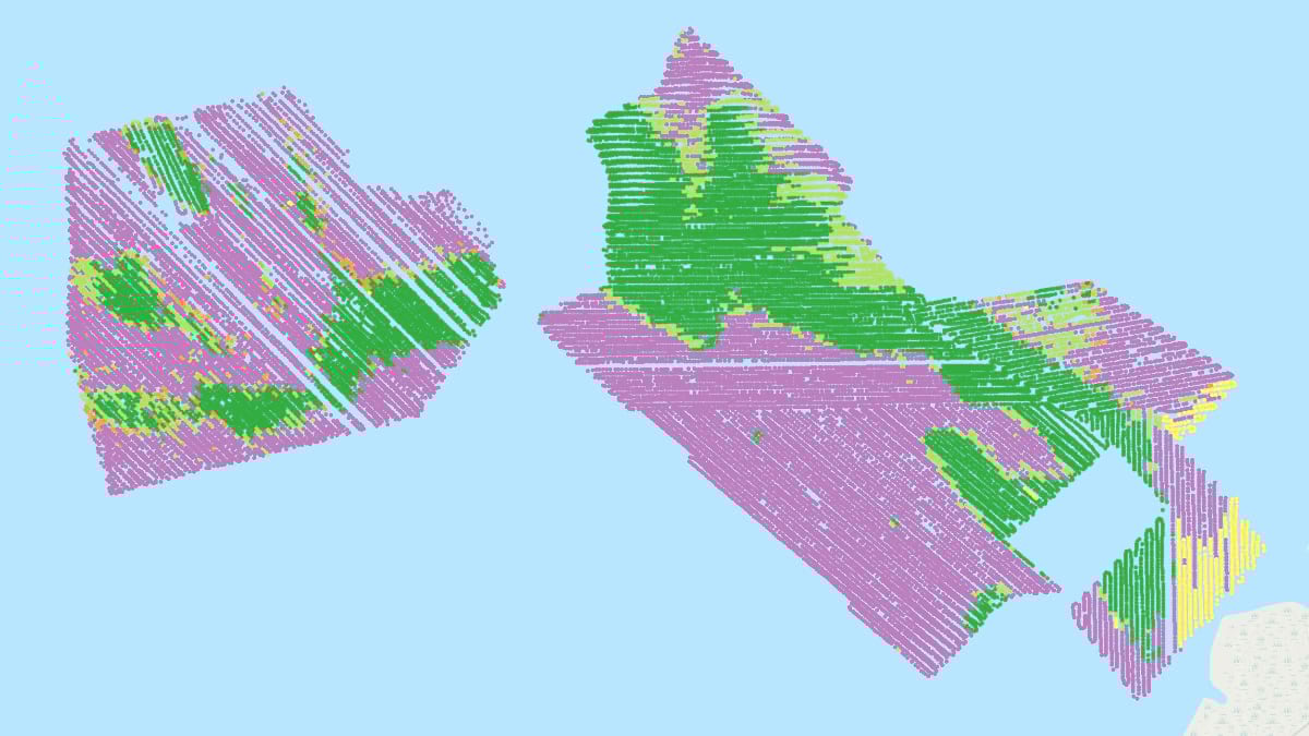
To manage its workflows and operations, the company uses maps, models, and data collection apps that leverage geographic information system (GIS) technology.
As fishermen go about their daily work, they log data as points on a shared GIS map. Each point collected tells a micro-story: what lies at the bottom of a pole tap, the yield of a dredge haul, a note about what’s happening beneath the water’s surface.
Zoom out, and those points form a living map guiding where to plant new oyster shells, when to harvest, and how to protect what’s growing. These points are stored in GIS, tagged by lease, and used to inform restoration, harvest timing, and protection strategies.
“We’ve logged nearly a million bottom taps,” said Jason Jordan, vice president of geospatial operations at CV Carbon. “That knowledge used to disappear at the end of the day. Now it’s mapped, shared, and used to make better decisions.”
Fishermen play a dual role, both harvesting oysters and helping restore the habitats that sustain their work, creating a full-circle model of cultivation and regeneration.
When a habitat suitable for restoration is identified, GIS models can estimate oyster population density and calculate the carbon sequestered by oysters and within the sediment matrix. Emissions from boats and field operations are subtracted before a unique form of carbon credits is issued.Independent teams then verify the results. When the numbers check out, fishermen are paid according to this carbon accounting, half of which goes right back into building new reefs.
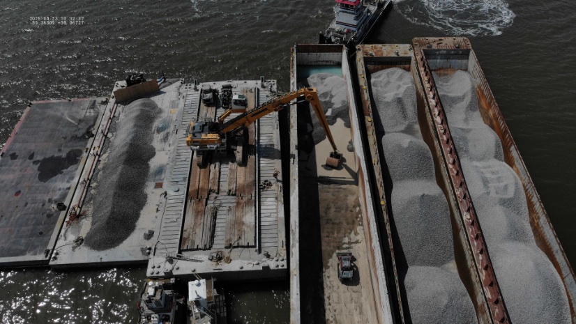
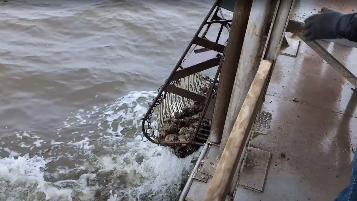
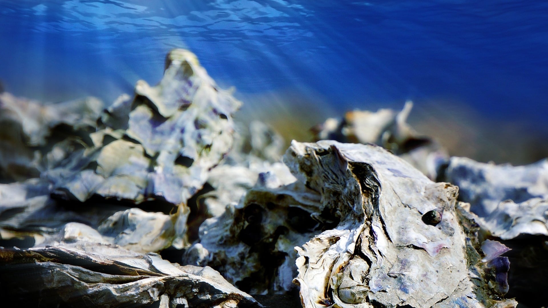
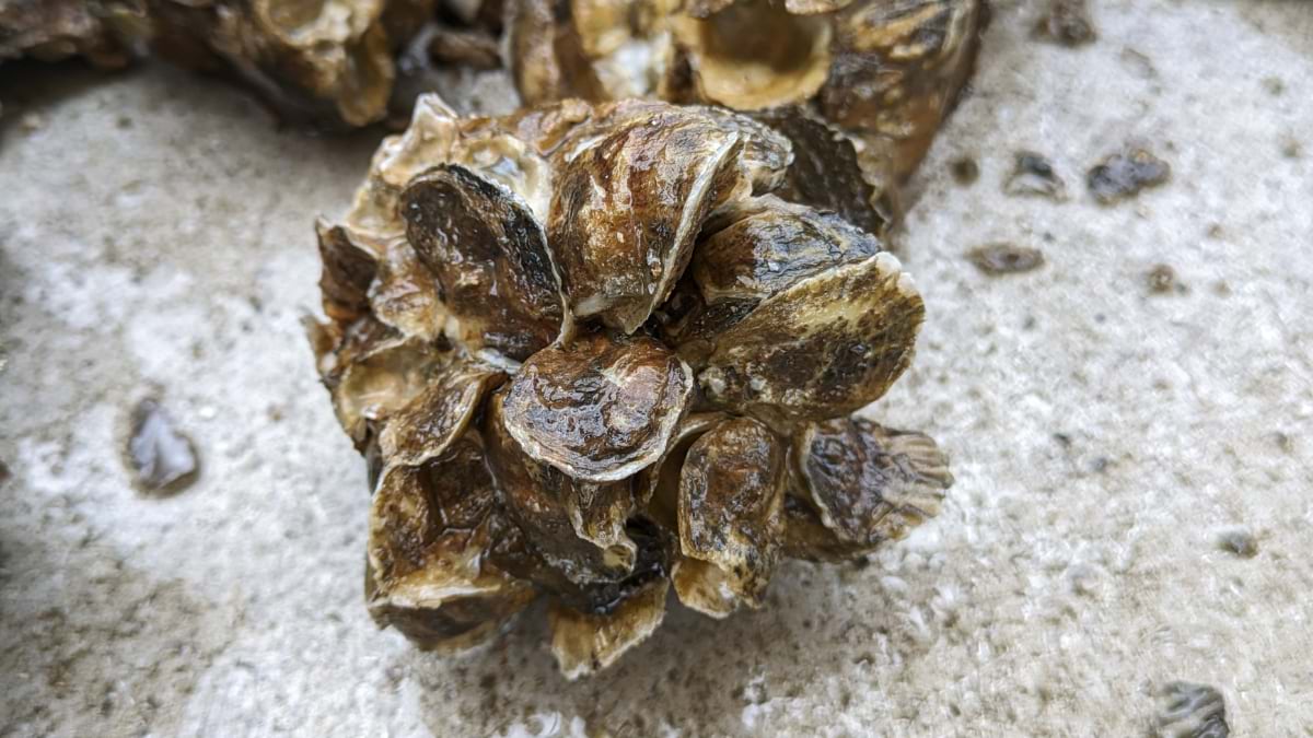
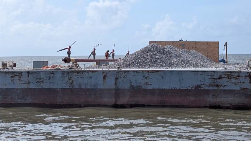
The work of building new reefs begins with recycled shells, often gathered from the same communities that harvest and shuck oysters. Those shells are returned to the water to grow the new reefs. Everything is logged and tracked in GIS to manage both cultivation and restoration.
“Each point on the map is part of a bigger picture,” Jordan said. “The map is never finished. It’s alive, just like the reefs.”
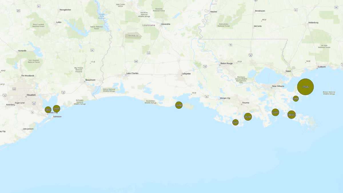
Since 2024, CV Carbon’s network of fishermen has restored more than 1,000 acres of reef off the Louisiana and Texas coasts. In 2025, they added 2,100 acres of new material for reefs, outpacing many traditional restoration projects by years.
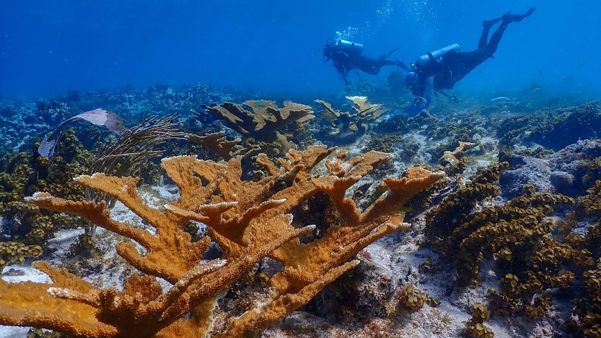
Oyster reefs are among the most productive habitats on Earth. A single oyster can filter up to 50 gallons of water per day, clarifying the water and recycling nutrients. Reefs serve as natural storm buffers, provide nursery habitat for fish and crabs, and lock carbon in their shells.
“They’re an ecological powerhouse,” Jordan said. “But they’re also an economic one. When reefs thrive, so do the fishing communities around them.”
Some of the best insights don’t come from models or apps alone, but from fishermen and their experiences.
One day, Pinsky watched as a crew member cracked open what’s called a “box,” a dead oyster’s shell still hinged and mostly shut with a small space that allows oyster larva to enter. Baby oysters (spat) carpeted the inside, hidden and thriving. Conventional wisdom says a “box” doesn’t become a habitat until the ligament decays and the shell is wide open. But sheltered from predators, those spat had a much higher chance of building habitat and filtering water.
“That was one of those moments where the textbook wasn’t wrong, it was just unfinished,” Pinsky said. “The fishermen already knew. Science just hadn’t caught up yet.”
With GIS, those kinds of important discoveries don’t disappear at the dock. They are mapped, shared, and scaled across the coast.
More than 85 percent of historic reefs in US estuaries are gone. But CV Carbon’s vision is ambitious: Gulf bays once again rich with oysters, waters running clearer, shorelines standing stronger against storms, and fishing communities thriving.
“This isn’t the silver bullet for coastal loss,” Pinsky said. “But it’s a practical solution with immediate benefits. Every reef we build today will keep growing and giving back for decades.”
The work is proof that restoration is not an abstract environmental goal. It’s rooted in daily work, local knowledge, and the tools of modern GIS, transforming pole taps into living maps, and living maps into thriving reefs.
Learn more about how GIS is applied to increase economic uses of the ocean and its resilience.