

At this time of global pandemic, when people around the world are experiencing health threats from the same virus, it has become starkly apparent that societal structures make some communities more vulnerable than others. The COVID-19 pandemic has called increased attention to long-standing inequities, including racial divides in the US that foster unjust outcomes for people of color. There is disturbing news about disproportionate numbers of cases and deaths in Black communities, what some have called a “double pandemic” for communities of color.
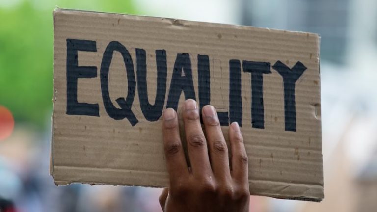
Then came a series of tragic acts of police brutality that have escalated into outcries and protests. As a result, we are experiencing a global awakening about systemic racism. Ongoing activism gives hope for meaningful restructuring and reform of police practices including the use of excessive force.
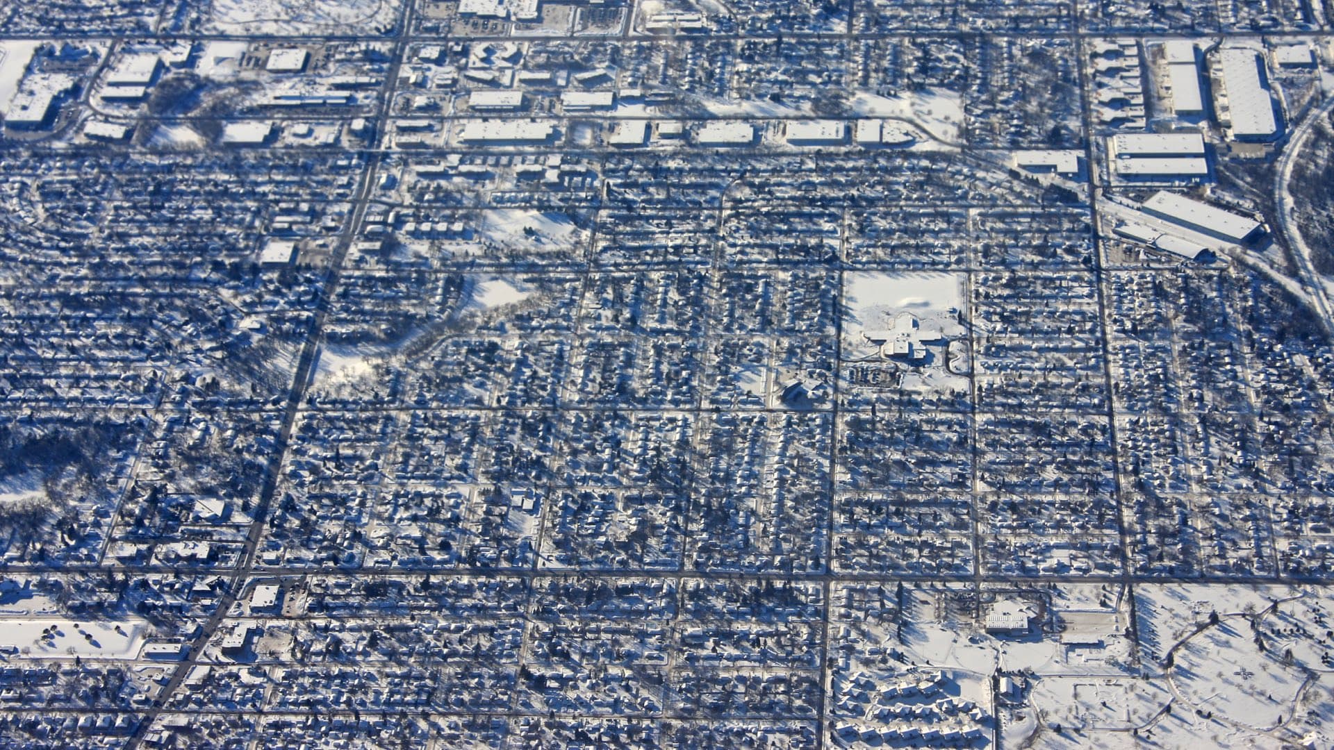
In many ways, geography has been a tool for the greater understanding of inequities, but it has also been the means to draw lines that keep communities segregated. A long history of place-based social exclusion, manifested in practices of redlining, created patterns in cities that continue today. The charge now is to address excessive force and the underlying causes of increased poverty in Black communities.
The lens of location is being used to look at all manner of inequity including more prevalent pollution in communities of color that lead to underlying health conditions; uneven investments in education, housing, and the delivery of services and resources that add to the burdens of poverty; outsize vulnerabilities of underserved communities during disasters; and patterns of policing that lead to biased actions. Disparities in wealth, health care, education opportunities, and criminal justice are being looked at in a new light to understand where and how we can reduce harm and create benefits for people of color.

Prior to the current crisis, geographic information system (GIS) departments in a growing number of local governments have supported racial and social equity initiatives to examine disparities, safeguard affordable housing, and reallocate the uneven distribution of resources.
The City of Oakland, California, has a long history of activism on inequity and social justice. The city recently released a report on equity that looks at 72 indicators across the themes of economy, education, public health, housing, public safety, and neighborhood and civic life. The report found troubling disparities by race across every indicator. Now, efforts are under way to understand impacts, measure and address inequities, and track changes for different groups over time. One of the first outcomes is a pavement improvement plan that steers infrastructure bond money to address historic racial and economic disparities.
The City of Asheville, North Carolina, examined and mapped racial equity through its history. With homeownership as the primary way to generate intergenerational wealth in the US, the city found that racial discrimination in lending practices was at the root of ongoing achievement gaps. A change analysis found a history of urban renewal displaced communities of color, leading to the ongoing wealth gap. As a member of the Government Alliance on Race and Equity (GARE), Asheville is applying these resources to achieve racial equity goals.
A group in King County, Washington, has pioneered the application of GIS for equity and social justice through writing and by delivering workshops. At the outset of both efforts, this group was quick to point out that in the past, people in power used mapmaking to curtail participation. By applying GIS, today’s mapmakers instead have the opportunity to inform and ensure equity to serve the public interest.
Like many businesses, Esri recognizes that this moment provides an opportunity to directly impact progress. Esri’s new racial equity team supports the application of GIS to address racism and social inequities. We are growing a diverse team of employees and partners that centers on the perspectives of individuals and organizations that most deeply understand these issues. This effort gives agency to those who can honestly speak about race and equity through their lived experiences.
With COVID-19 still raging, we all hope a vaccine will be developed soon, and we can move on. With demands for racial equity and social justice, we hope to continue to examine and address inequities as a pillar of GIS work.
Right now, users in government, nonprofits, and business can apply GIS to understand inequities, engage with citizens to address them, and communicate more effectively to make progress. Esri will provide both a platform and a forum to share best practices, amplify the work, and make it easier.
For Black people, the question is whether this is a Martin Luther King or Rodney King moment. With Martin Luther King, activism led to meaningful legislation that changed communities across the country. With Rodney King, it was largely about short-lived reconciliation efforts. Lasting change will come from recognizing the perspectives of those most directly impacted and creating a sustained conversation centered on challenges—to listen, learn, grow, and evolve.
Visit the new Racial Equity landing page to learn how location intelligence addresses racial inequities. Visit the Racial Equity Resources Hub to find relevant data layers, user examples, training, solutions, and other resources to help in your work for racial justice.


