January 28, 2025 |
Brooks Patrick | Urban Planning
Nearly every local government drafts a plan to chart its future. Often, it is a land-use plan that shows where housing will rise, where industry will roar, and what land will stay protected. These plans shape more about your daily life than almost any other piece of government paperwork: home values, commute times, and whether a park sits within walking distance.
Yet most plans appear once a decade and then fade from view. Most state and local governments publish them because they must. The plan lands as a 400-page PDF on a city website, and that’s it. People don’t really know what the plan says or what is decided—we can do better.
Planners balance many factors at once: housing supply, transportation, environmental risk, economic development, and equity. They resolve that complexity into a plan, often in a vocabulary all their own. San Bernardino’s zoning layer names a residential neighborhood differently than Akron’s does, or Singapore’s, or Brasília’s. It’s an inconsistency baked into planning everywhere: dozens of overlapping terms for the same idea. That makes it nearly impossible to lay two communities’ plans side by side and see how they relate.
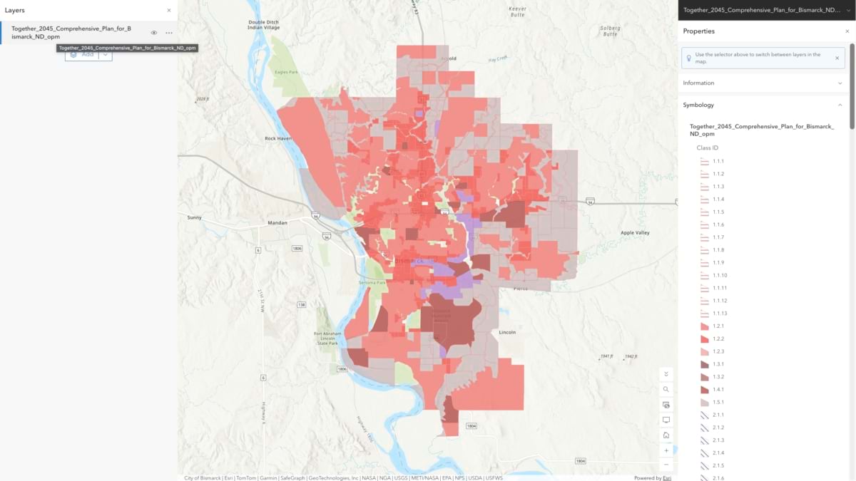
That’s the problem a new community-driven comparison tool, OpenPlanMap, was built to solve. The original vision was similar to OpenStreetMap, but for plans, adding a dimension that tracks progress toward climate impact based on the collective weight of those planning choices. It gathers land-use plans from cities, counties and other jurisdictions, translates their inconsistent language into one harmonized vocabulary, and publishes them on a platform anyone can explore.
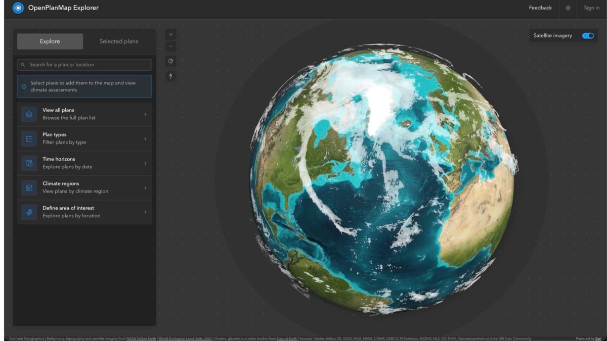
Building that common language took real diplomacy—reconciling European and American planning standards, absorbing feedback from the International Geodesign Collaboration’s academics, and accepting that any classification scheme will draw criticism from someone who thinks their own is better. It’s imperfect. But it starts to move us toward a common language to comparing plans across the globe.
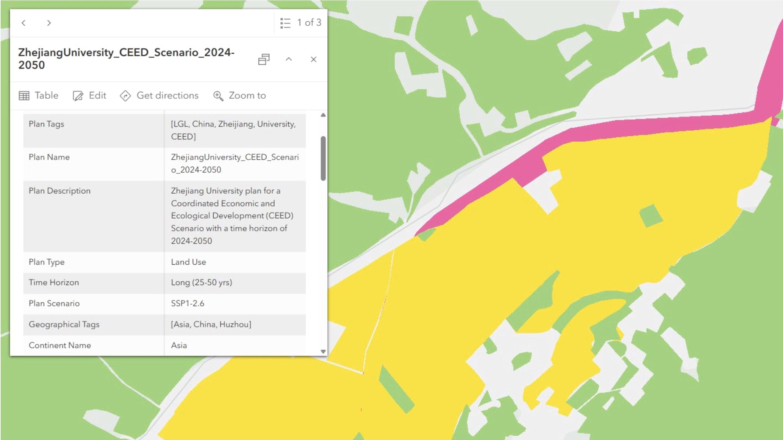
Crucially, OpenPlanMap focuses on official governmental plans, but it does not stop there. Anyone can contribute a plan so long as the plan includes spatial information about the intended use of the land—a developer’s redevelopment proposal, a neighborhood association’s vision, a speculative scenario drafted during a public engagement process. Each gets translated into the shared vocabulary and nested alongside the surrounding city, county, and regional plans, where people can find it in context rather than isolation.
Only plans from an authoritative jurisdictional source populate the platform’s official global layer. Everything else remains visible for comparison. Visibility is the point. Planning doesn’t stop where one community ends. It continues into the next jurisdiction, often with no coordination between the two planning processes, despite their shared border.
Closing that gap, or at least opening a dialogue about it, is where the platform’s power lies. Put two neighboring jurisdictions’ plans side by side and incompatibilities that went unnoticed for years become visible immediately: an industrial designation abutting a neighbor’s planned conservation area or a housing gap between adjacent cities that neither can see alone. Put competing visions for the same city side by side, and residents gain a stronger voice in the future they want.
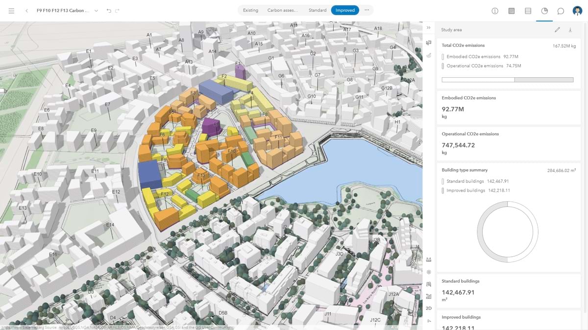
ParkScore, a long-running index of city park access and green infrastructure, shows what this could become. The Trust for Public Land set out to create a modest social equity tool. It spurred real investment because no city wanted to lag visibly behind its neighbor. OpenPlanMap offers contributors similar value: an estimate of each plan’s CO2 impact. That gives plan creators a way to assess a plan’s sustainability and improve it in future versions. OpenPlanMap could also add metrics for other things communities care about, such as economic potential, environmental impact, and equity.
With enough plans on the map, OpenPlanMap could create the same healthy competition among places trying to attract residents and businesses. Planning would no longer happen in a vacuum.
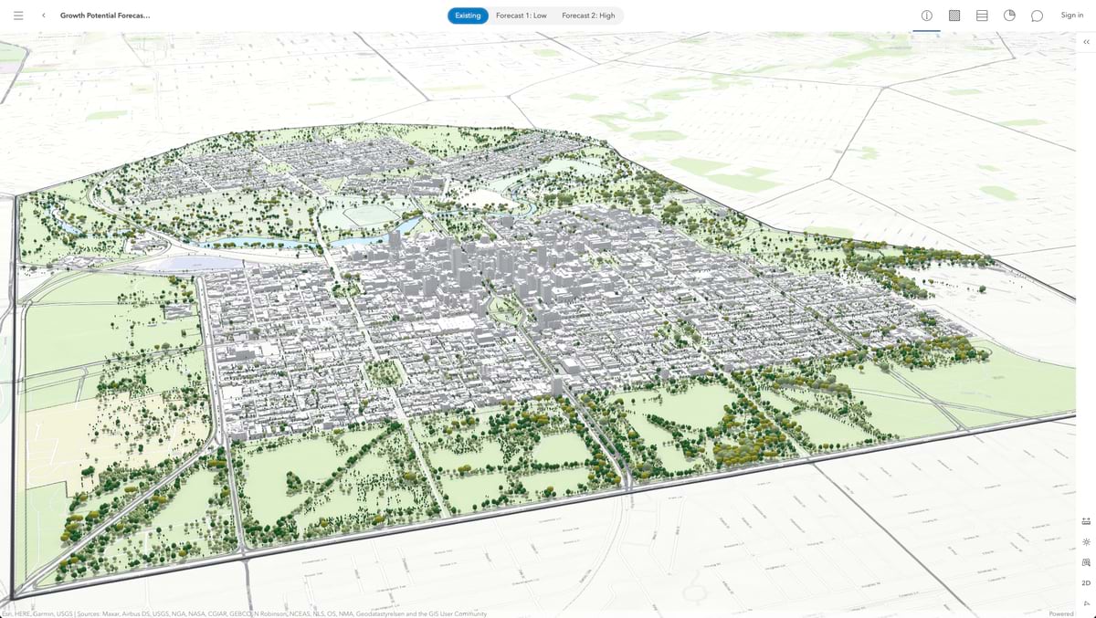
All of this builds on geodesign, the practice of using geospatial tools to model a planning decision’s impact before it’s made, then refining the plan based on what the data shows. Cities increasingly run multiple growth scenarios through tools like ArcGIS Urban, measuring space requirements, density, and other outcomes before committing to a final plan. Communities without these capabilities can use OpenPlanMap as a first step: an initial yardstick for how their plan performs.
OpenPlanMap also gives geodesign outputs a home once decisions are made, so the public plan and its predecessors, alternatives, and amendments are visible together. Even in rudimentary form, the loop of publish, revise, republish, and compare, in one shared place, can help make planning more iterative.
Growing populations, water scarcity, rising temperatures, economic upheaval, declining biodiversity—many of these challenges arise from the accumulation of local decisions about what we’re putting where. Many of these same problems can also be solved by rethinking those same decisions. These challenges also cross jurisdiction’s borders and result from uncoordinated local decisions. OpenPlanMap’s ambitions reach well past a single town’s zoning map, to a global scale that catalogs land-use designations and decisions across entire continents. With that broader view, local communities can work with their neighbors toward outcomes none could reach alone.
Because OpenPlanMap works at any scale, a neighborhood redevelopment plan and a continent-spanning geodesign exercise can live on the same platform, compared side by side. That’s not a small design choice. It means the same tool that helps one town understand its neighbor can eventually help us see how our collective land-use plans add up to a global picture.
The tools to build this transparency already exist. What’s been missing is a place for the plans to live in the open—not as static PDFs but as a living, comparable record of what communities, developers, and planners around the world have decided, and are still deciding, about the future.
See how planners use GIS to design development and support sustainable growth. Learn more about OpenPlanMap, join the community, and put your plan on the map today.