


November 1, 2018 |
November 14, 2018
Part 3 of 3—Alabama Cold Case Crime Investigation
Read Part 1 for background on the missing woman and Part 2 for details of the search.
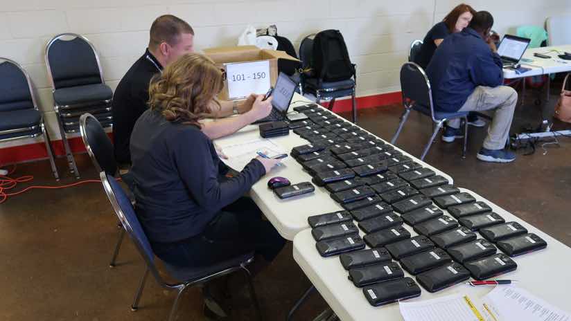
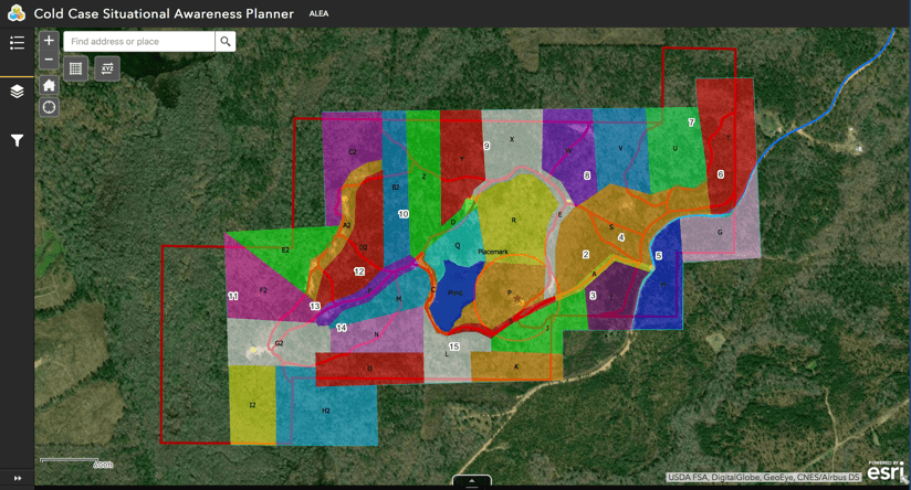
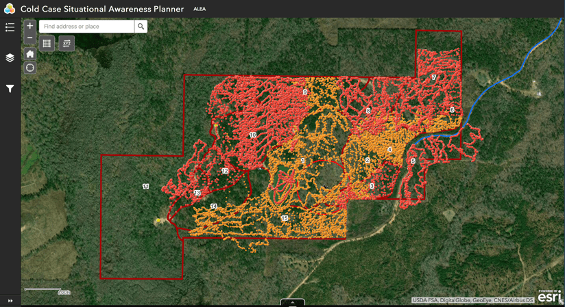
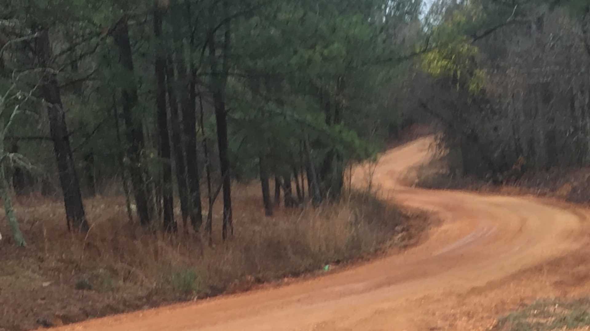
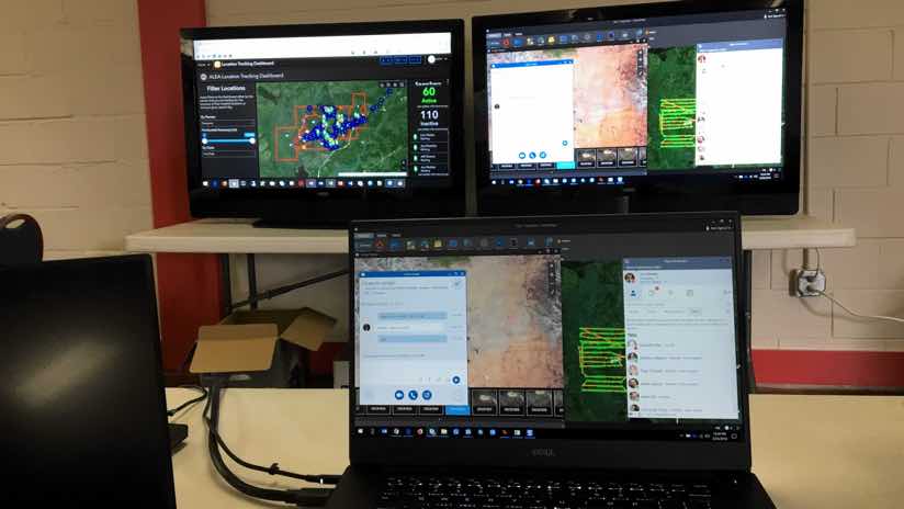
As investigators closed their search of 300 acres in rural Alabama, looking for the remains of Traci Pittman Kegley, a young mother who went missing more than 20 years ago, they felt they had pored over the entire area. This extensive search applied a new level of real-time geographic information system (GIS) technology to coordinate all activities and ensure their efforts were comprehensive.
While the team was reflective about what they had learned, they were quick not to claim too much.
“She’s still missing, so we’re not beating our chest over this,” said Jay Moseley, director of the Alabama Fusion Center. “We felt so confident that we covered the land that we wanted to show the family.”
The family was at the center of the minds of all the searchers.
“These folks are just really nice people, and I know it’s been frustrating for them,” said District Attorney Randall V. Houston, who serves Elmore, Autauga and Chilton Counties in Alabama. “The family was thoroughly impressed and so appreciative to see the number of people involved and the technology brought to bear.”
The victim’s mother told television reporters that her emotions had been up and down over the past 20 years, so she thought she could keep them in check. However, she said she was affected by the number of people who demonstrated how much they care.

Some Hope
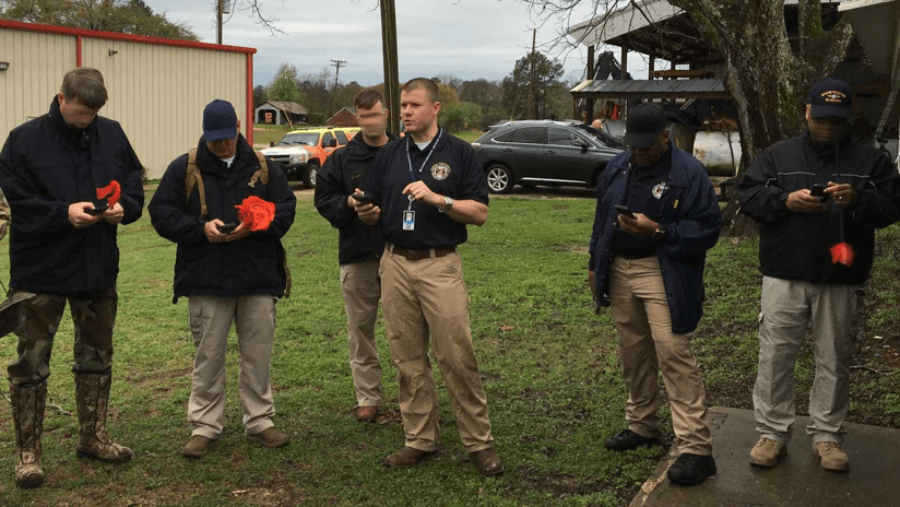
On Thursday, the final day of the search, cadaver dog teams had swept the whole property and searchers had covered every last inch of ground.
“It was amazing to get the real-time picture of where all the searchers had been,” said Ty Gober, retired battalion chief with Birmingham Fire & Rescue Service, and the coordinator for the ground search. “We were able to see a couple of holes caused by the terrain and it allowed us to go back and collect full coverage.”
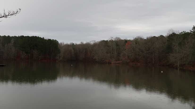
The only ground left to cover was a five-acre pond where a cadaver dog had sensed something. Four dive teams made a difficult dive and brought up some possible evidence.
“You have to understand that the pond where we found this was almost completely full of deer bones,” District Attorney Houston said. “There were thousands of deer on that property, and a lot of them died in the water. So, I’m fairly confident that what we’re going to have is going to be deer bones, but forensics couldn’t identify it at the time, so we sent it to the lab.”

Media Megaphone
The search effort involved a lot of media outreach to encourage people to come forward with an eye-witness account or a memory of something suspicious they had seen around the time of the victim’s disappearance.
“We set up daily briefings for the media at 4 pm, and we would give them a piece to put on TV,” said Capt. Joe Herman of the Alabama Law Enforcement Agency (ALEA), the search commander on the case. “The area around the command post is a very small community and when we arrived we brought in large towers, ATVs, landed helicopters, and brought in a lot of resources. Everybody wanted to hear something about what we were doing every day.”
Television spots highlighted the work of cadaver dogs and volunteer searchers, and the capabilities of the mapping technology used in the command center.
“The amount of attention it gave the case after all these years brought people forward, and we got more information than we had before we started,” District Attorney Houston said.

Sharing the Capability
Law enforcement and search and rescue personnel at the scene shared their appreciation for how far technology has come since the initial search started 20 years ago.
“I’m not a technical guy, I put people in jail for a living,” Capt. Herman said. “In 26 years, I’ve never walked away from a search feeling more confident that we covered everything we needed to cover. We only had one shot at this.”
The GIS tools aided in both thoroughness and efficiency of the search, investigators said.
“We had planned on being there a full week,” said Jared Bostic, deputy Geographic Information Officer for the state of Alabama. “We were able to search the entire property completely within four days.”
Many searchers have shared details with peers about how maps, apps, and real-time capabilities aided the effort.
“I want to go around and have a meeting with the sheriff of every county and the police chief in every town to tell them if something like this happens again, here’s the resource that should be applied,” Capt. Herman said.
ALEA is applying the coordinated use of GIS for security at schools and large public events such as the upcoming governor’s inauguration.
Family Still in Focus
Throughout the in-depth examination of the 300-acre property, everyone involved maintained clarity about the purpose of the search.
“The sole goal was to try to give that family closure,” Chief Gober said.
The investigation is ongoing. Data and details found during the property search could still be a help if ever there is a trial.
“There’s nothing we want more than to give her parents an answer,” District Attorney Houston said. “So, we’re going to continue to work it.”
Part one of this series sets the scene. Part two of this story details the methods used in the search. Learn more about the many ways that GIS supports public safety.

November 1, 2018 |

November 7, 2018 |

June 7, 2018 |