August 7, 2025 |
Katie Olson | Public Safety
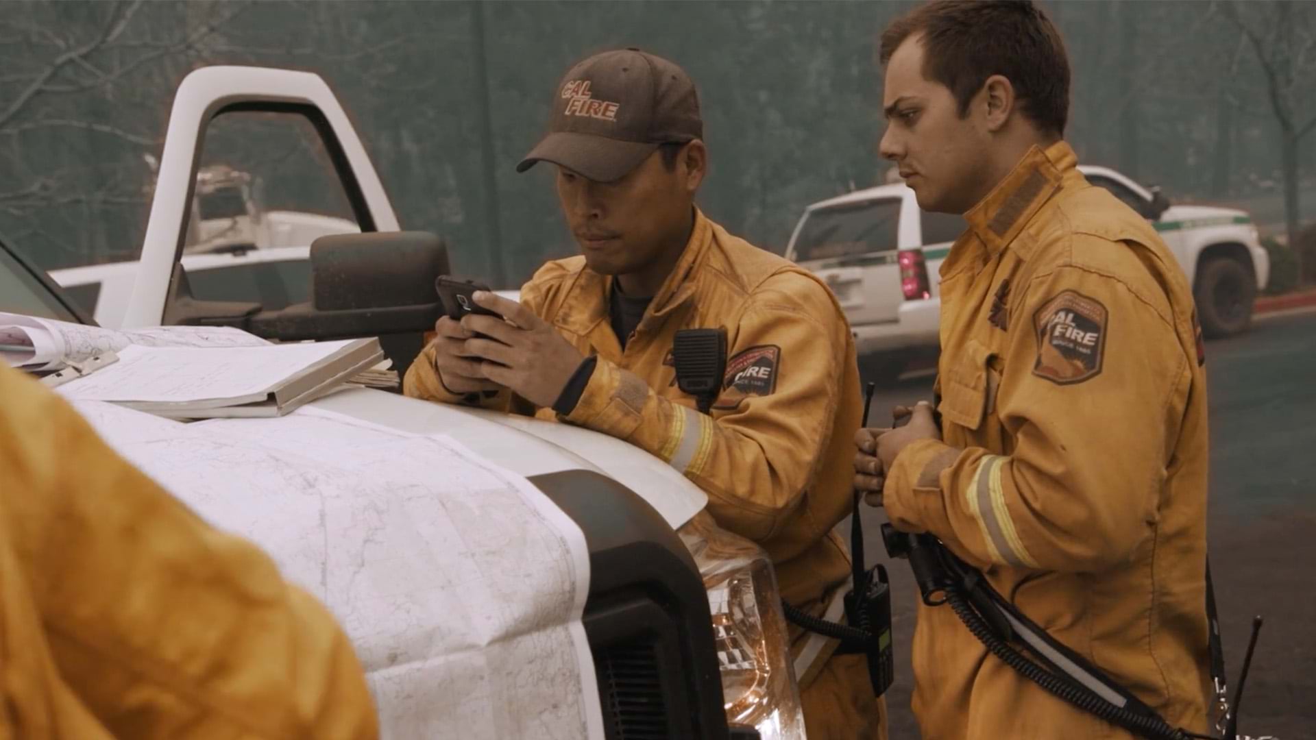
Emergency responders in Portugal are finding a more coordinated way to face forest fires, floods, and chemical accidents. When a crisis hits, fire crews, maritime units, and local authorities can now access the same real-time maps to see what’s at risk and where. This shared view means disparate teams can work together, pooling resources to protect people and property.
Explore how GIS helps emergency teams act faster, stay safer, and save lives.