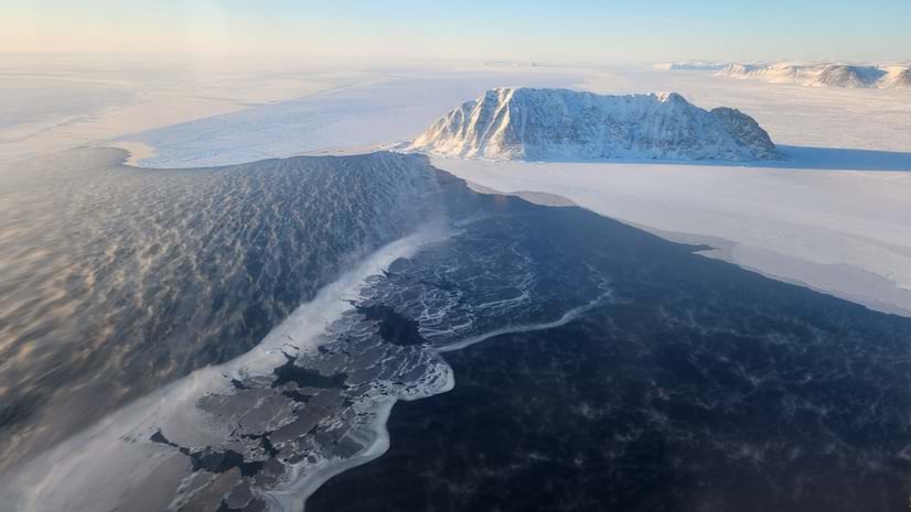
May 27, 2025 | Dr. Dawn Wright | Conservation Geospatial AI: Transforming How We Monitor Beluga Whales
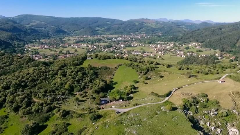
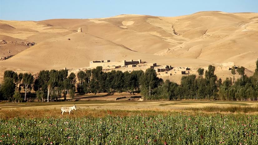
November 12, 2024 | Olivier Cottray | Public Safety Afghanistan: Geospatial Analysis Conveys Current Conditions Under the Taliban
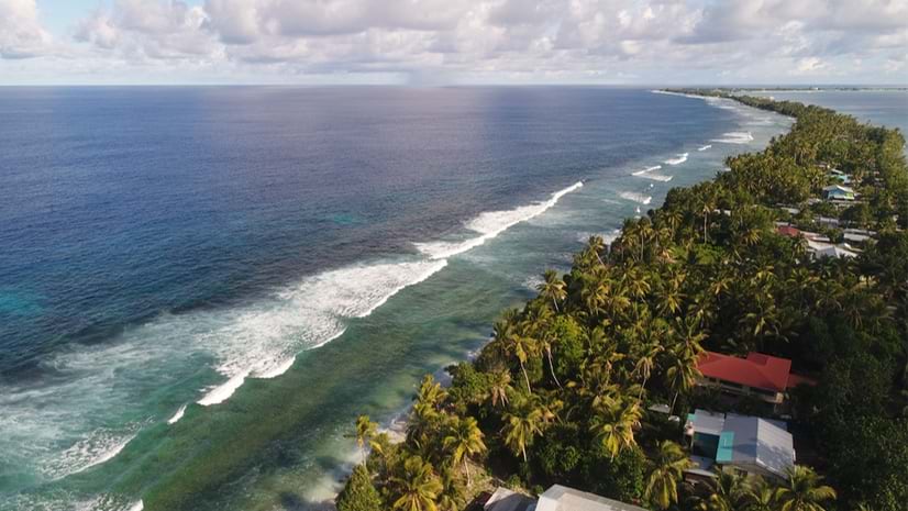
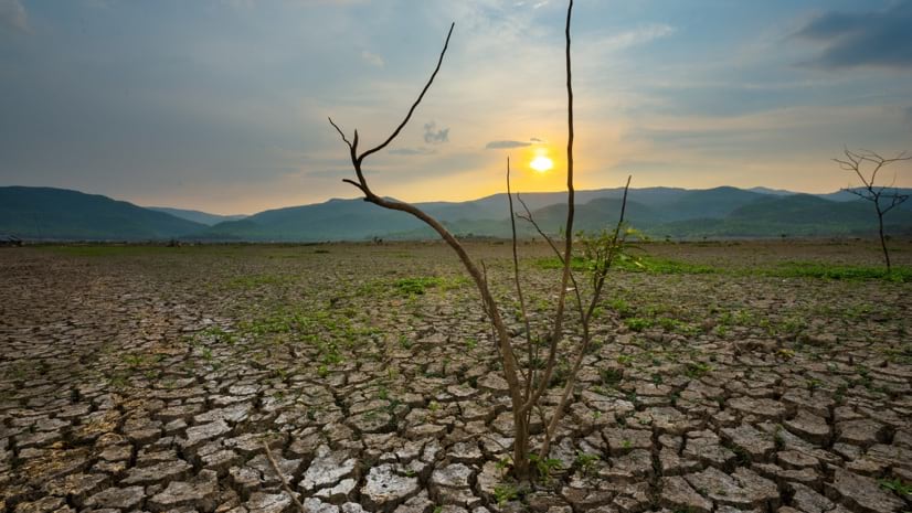
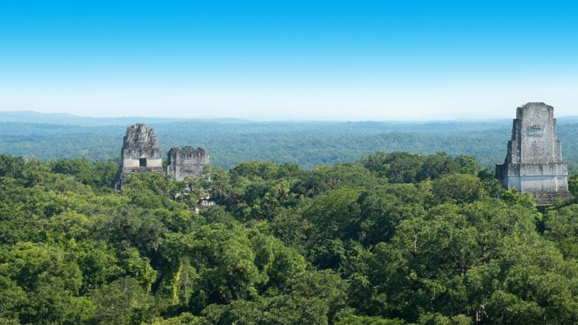
October 29, 2024 | Dr. Dawn Wright | Resilience Threatened by Sea Level Rise, Tuvalu Safeguards its Sense of Place with a Digital Twin
July 18, 2023 | Holly Tripp | Mapping The SAR Satellite Revolution: New Possibilities with 24/7 Earth Views
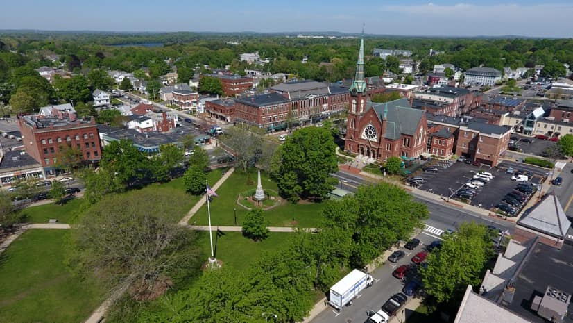
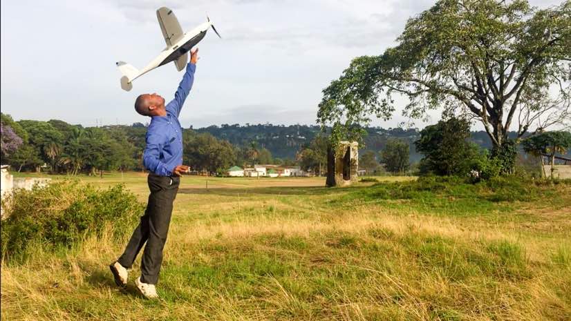
November 10, 2022 | Olivier Cottray | Public Safety Drone Mapping in Mozambique Helps Find Flood Victims, with AI Assistance
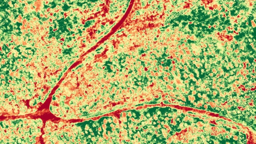
August 26, 2021 | Kimberly Hartley | Mapping Reveal: Seeing Near Real-time Changes on Earth with New AI Map
August 17, 2021 | Steve Snow | Mapping 'Counting Birds in the Falkland Islands', and other Remote Sensing Fundamentals
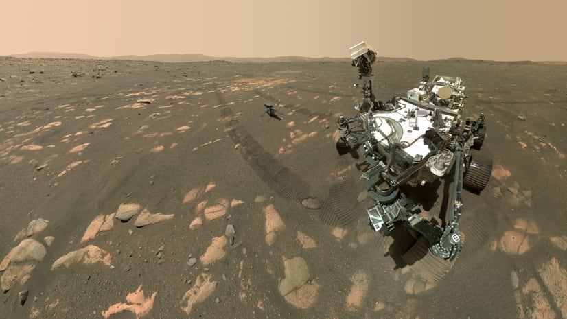
August 2, 2021 | Dr. Dawn Wright | Mapping NASA JPL Sends the First GIS Map to Mars to Navigate Treacherous Terrain
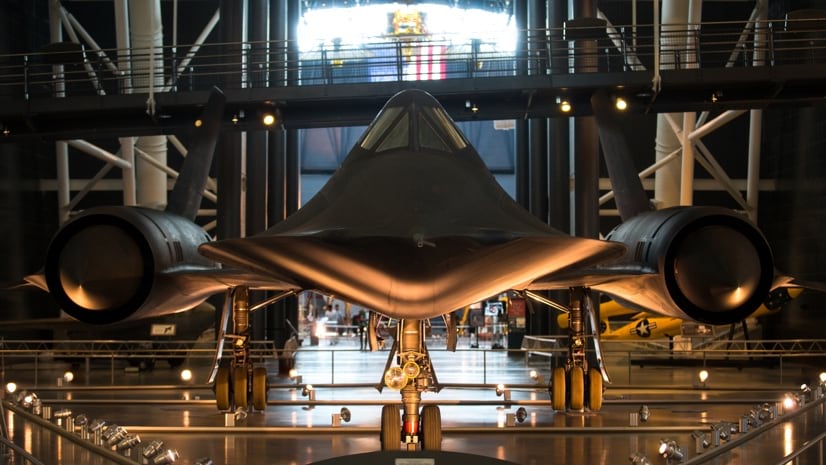
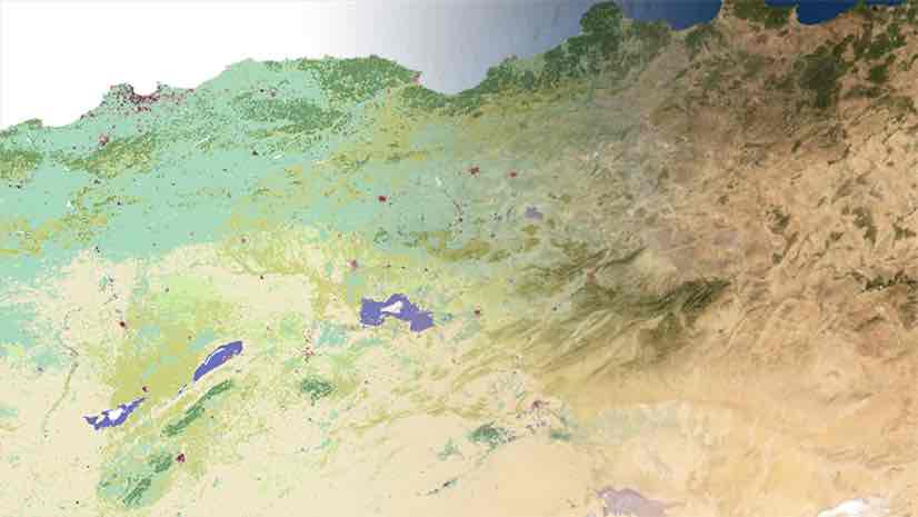
May 6, 2021 | Mariah Petrovic | Mapping Reveal: Cold War Spy Imagery Now Helping Fight Climate Change
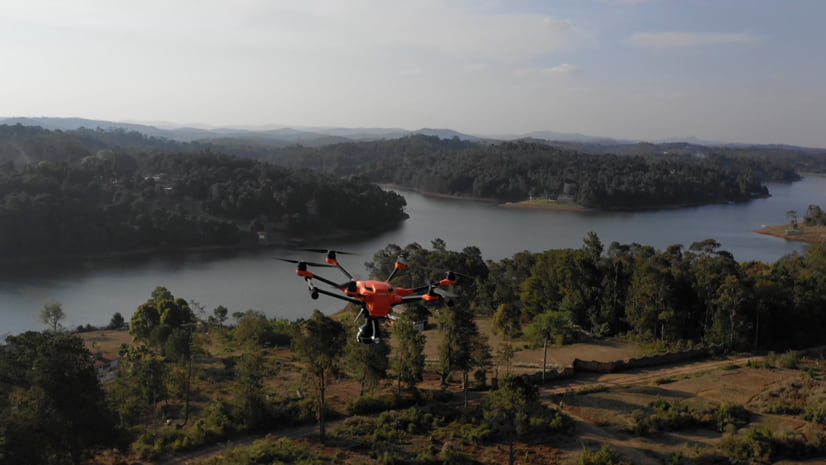
October 9, 2019 | Multiple Authors | Mapping How Drone Imagery Helps Texas 9-1-1 Agency Stay Crisis-Ready Despite Growth
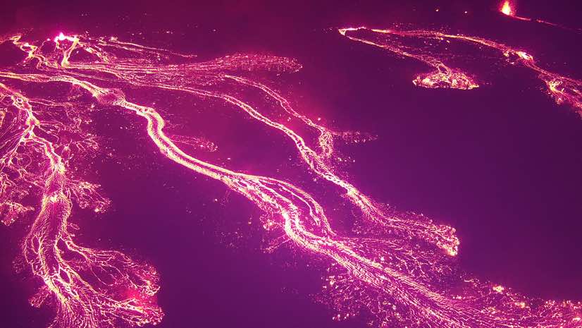
August 8, 2018 | Ryan Lanclos | Public Safety Hawaii Volcano: Scientists, Emergency Responders Put Drones to Work