January 19, 2023 |
Multiple Authors
| Conservation
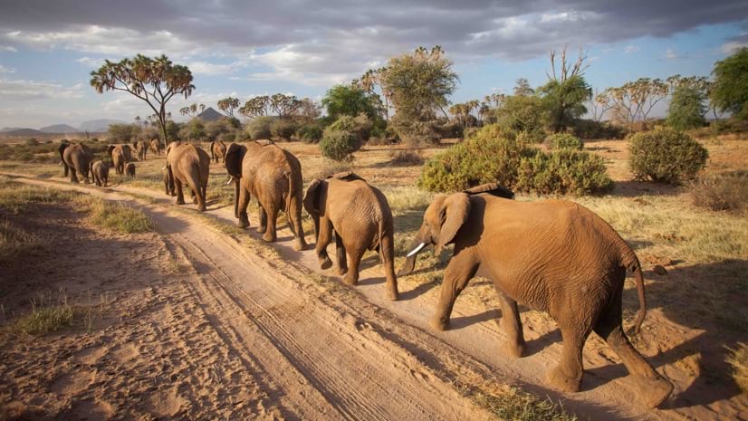
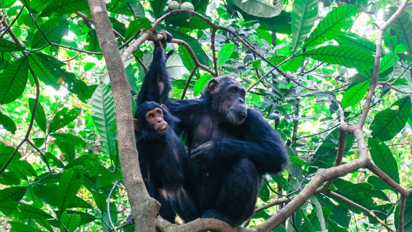
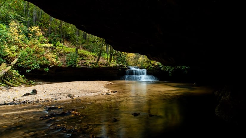
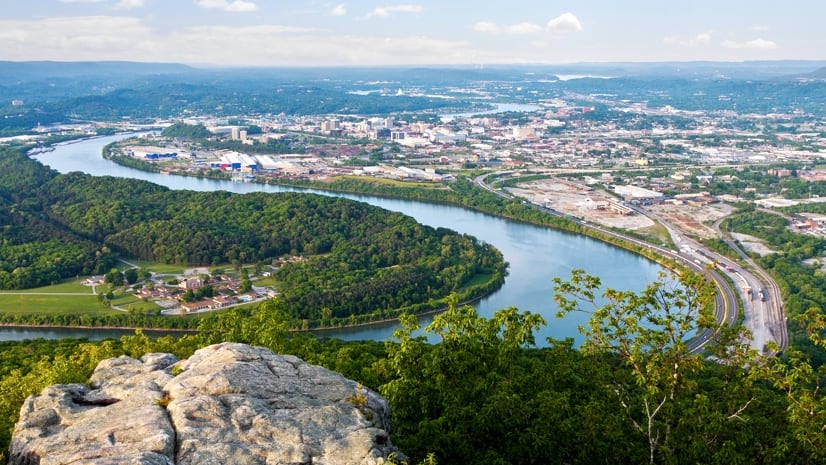
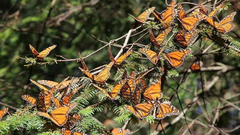
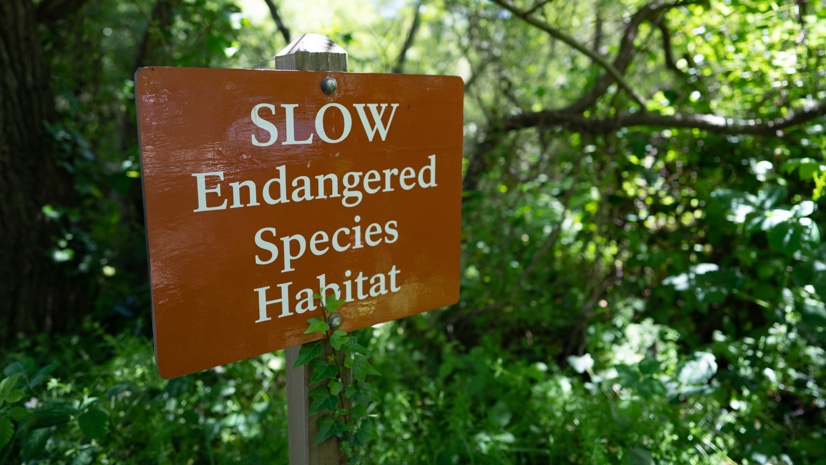
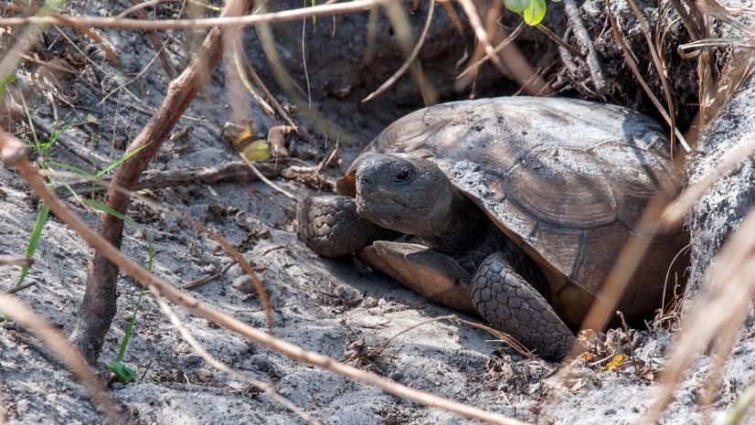
Environmental professionals, conservation groups, and resource managers use GIS to make data-driven decisions that protect ecosystems and biodiversity while balancing human needs with sustainability. This work involves monitoring ecosystem services with an environmental digital twin.

April 23, 2026 |
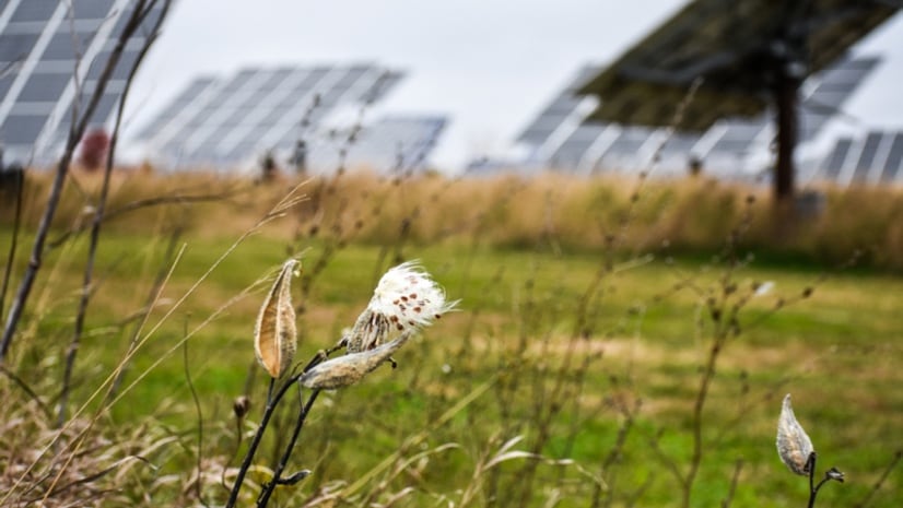
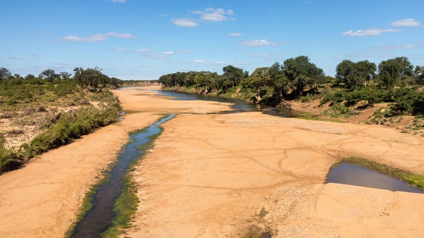
How a new global map is guiding smarter reforestation to improve water infiltration and reduce stormwater runoff.