displaying 396 results

Tech startup Relive uses GIS functionality to make its outdoor adventure app more human, and captures millions of users along the way.
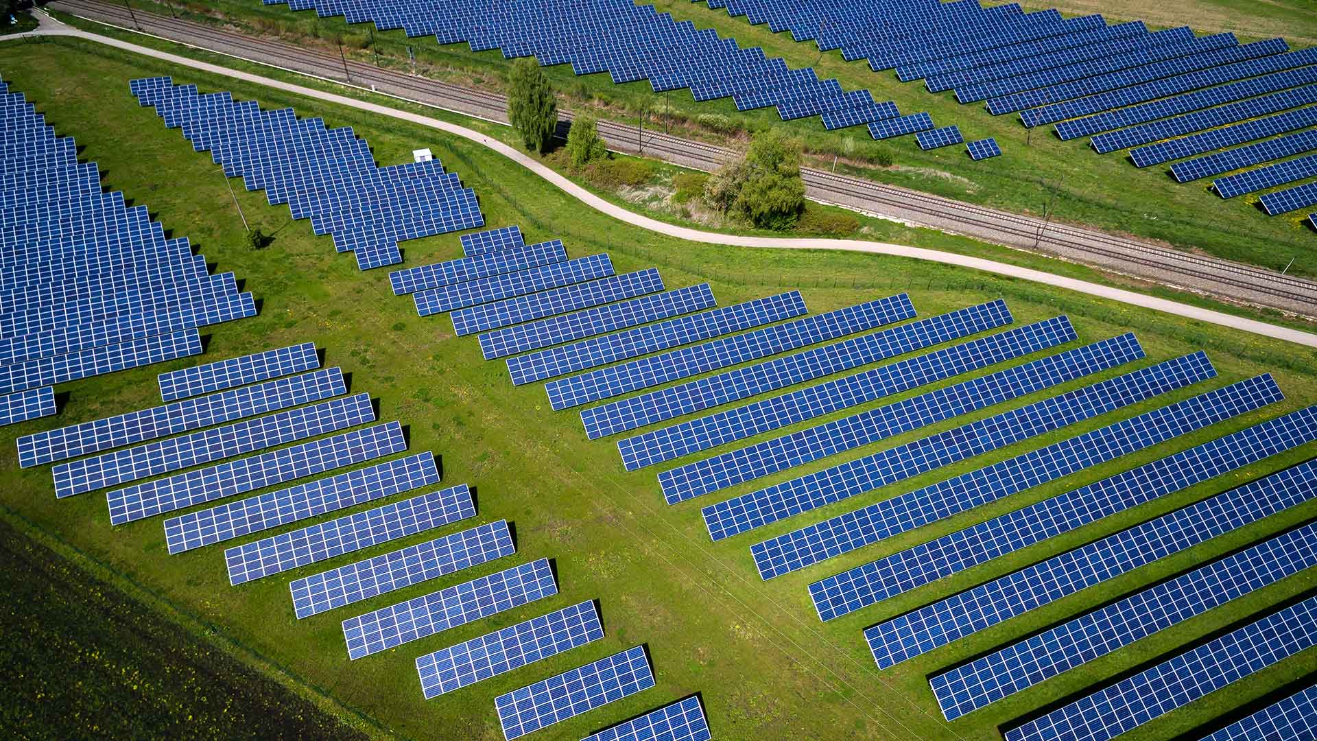
Go inside two energy companies to see what cost-benefit analysis looks like when assessing a renewables project.
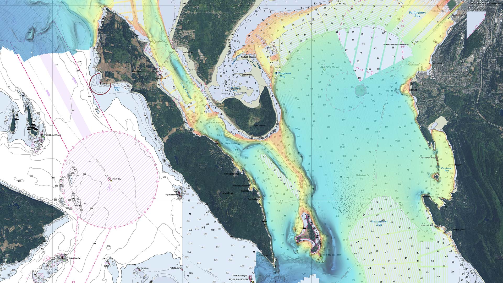
Hydrographic offices are starting to move away from making traditional paper charts and more toward producing charts on demand.

Developed with ArcGIS technology, the model can help resource managers holistically manage fisheries and anglers find new fishing spots.

The NOAA Chesapeake Bay Office used advanced GIS to carefully revitalize and build new oyster reefs. The results are exceeding expectations.

Creating awareness of earthquake faults was the first step in gathering and sharing data about all hazards experienced in the Philippines.
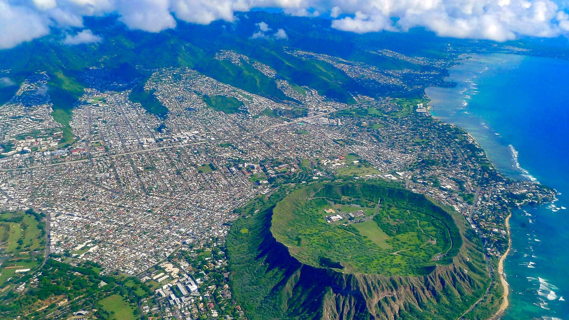
Hawaiʻi Green Growth oversees the Aloha+ Challenge, a set of sustainable development goals the state plans to meet by 2030.

GIS helps track the movement of geomagnetic north and to calculate the change in order to improve navigation.
An enterprise system normalizes the availability of navigation channel condition data across a complex enterprise, improving maintenance.