As Emmett Ball rode the ferry from Oakland to San Francisco, he thought about how far he had come. He was 1,200 miles into a bike tour that had begun at the Canadian border. He’d followed Highways 1 and 101 down the US Pacific Coast, cycling through cities and along the ocean, sleeping in state parks and dining on camp-cooked rice. When he stepped off the ferry in San Francisco to begin pedaling again, he was still more than 600 miles from his destination.
By then his memories had blurred—one campground ran into the next, and each meal tasted like the last. But the 22-year-old University of Montana grad didn’t mind. After six weeks of cycling, he had answered one of the big questions motivating his trip—whether he could physically handle a supersized trek. And he was having the experience of a lifetime. Career decisions could wait until he returned. For now, he was slowing down, bucking routine, and embracing adventure.
“I thought it would be cool to see [the country] each day morphing as I traveled through,” Ball says of his nearly 2,000-mile bike tour from the Canadian border to the Mexican line.
And even though he couldn’t remember exactly how many hills he’d conquered since Tuesday or where he’d eaten dinner on Friday, he had something that did—a modern-day, location-based travelogue that was capturing his trip and giving loved ones a glimpse of his life on the road.
Relive App Helps Preserve the Journey
Each morning as Ball set off on another rolling spin class, he opened the Relive app on his phone and began tracking the day’s 40- to 60-mile trek.
At least, that was the idea. “It’s not uncommon to just start the day rolling and then get three to five miles down the road and [realize] ‘Oh, whoops, I’ve got to find a place to pull over because I’ve got to turn this tracker on,’” Ball says.
The app captured key aspects of his two-month odyssey and made them accessible to family and friends. “I wanted to keep people in the loop and wanted to share my experience,” he says. He just didn’t want to spend hours updating a blog or writing emails.
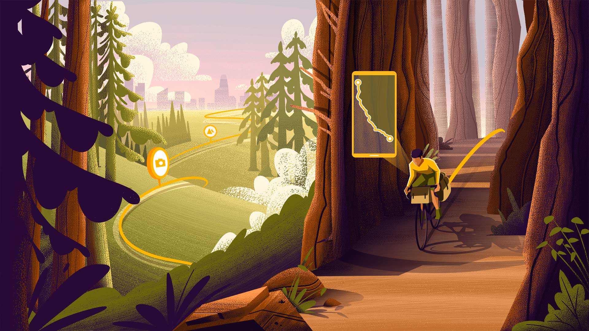
Through the Relive app, Ball shared a 3D animation of each day’s journey, complete with photos he had taken along the way. If he took a picture while he cycled through a tunnel of redwood trees, it showed up in the right location on the map. If he wanted to relive the agony of climbing the hills outside Leggett and Crescent City, California, he could replay the 3D video and marvel at the unforgiving slopes.
Ball liked the way the app told the story of his journey—simply, visually, and geographically.
Borrowing from the GIS Platform
Ball isn’t alone. While the world had its fair share of outdoor enthusiasts before the COVID pandemic, the global health crisis chased many more out into nature. Each enthusiast defines adventure differently, but whether it means long bike rides, afternoon fishing trips, mountain trail runs, or walks on the beach with the family dog, most experiences create memories worth keeping.
Thirteen million people around the world use Relive to capture those memories.
“I think it’s just cool that it’s such a vehicle for telling stories, and that everyone is going to tell their story different,” Ball says.
To power those stories, the startup company behind the Relive app uses technology called a geographic information system (GIS). But six years ago, when Relive was just an idea, none of its cofounders knew which technology could bring the app to life. Yousef El-Dardiry, one of the three cofounders and the primary architect of Relive, had never heard of GIS software. A chance encounter with an expert in the technology changed that.
El-Dardiry soon learned that he could integrate select services from a GIS platform into the Relive app. That included satellite imagery of the earth’s terrain, elevation maps, SDKs for building functionality, and APIs for integration.
As El-Dardiry explains now, “We are a very engineering-heavy company . . . We’re not interested necessarily in having a one-size-fits-all solution, because we’re building something new. So [we’re looking for] a mix or match fit.”
By incorporating GIS-based location services and 3D maps into the app, Relive helped users capture realistic animations of their adventures.
“The map is the best way to really visualize your outdoor story,” El-Dardiry told WhereNext. “To turn it into a visual, compelling story, the map forms the centerpiece.”
An Ambitious Climb Yields Unexpected Inspiration
Many tech companies—including Apple and HP—trace their roots to their founders’ garages. Relive was born on a volcano.
In late 2015, El-Dardiry and seven friends—all in their 30s, all former engineering classmates at Holland’s Delft University of Technology—decided to do something many observers would consider foolhardy. Having taken up road cycling earlier that year in their home country—one of the flattest on earth—the group of eight decided to cycle up a 3,715-meter, 12,188-foot mountain in the Canary Islands.
They tried their best to prepare.
“We did a weekend somewhere in the south of the Netherlands where it’s kind of hilly, but the biggest hill there is like 200 meters,” El-Dardiry explains.
Their next stop was off the coast of Morocco: Mount Teide, a dormant volcano on Tenerife, the largest of the Canary Islands. In December, the eight friends rented a house on the island and spent four days cycling its roads, getting acclimated for the big climb. Their bikes were adorned with gadgets—cycling computers and mobile phones that tracked their distance, pace, heart rate, and practically anything else that could be measured.
“We were kind of geeking out on all the numbers and all the stats,” El-Dardiry says. “That, for us, was super cool.”
Then came the crescendo—the trip up Mount Teide.
“We were all maybe a little bit nervous and eating way too much pasta the night before,” El-Dardiry remembers.
On the morning of the ascent, they dipped their bike tires in the ocean, gathered on the road, and began the climb. El-Dardiry remembers the camaraderie of the ride and the skirmishes that broke out as friends tried to overtake each other on the hill. “Some kilometers later, all energy is out and you still have to go to the top,” he recalls ruefully.
For new road bikers from a flat country, they were holding their own. But the climb seemed unending, and it took its toll. When they finally reached the top, some members of the group were nearly in tears from the effort. It had taken many hours and all their reserves, but they had reached their goal. As they enjoyed Mount Teide’s long descent, night fell over Tenerife. El-Dardiry calls it “one of the most epic days of our lives,” an experience rich with pride, pain, and memories.
“Then, when you look down at your device or your app, you see something like 100 kilometers and 3,000 meters elevation gain. All these stories . . . were all compressed into numbers,” he says. “We realized, ‘Hey, something is missing.’”
They wanted to remember the roadside restaurant where they enjoyed a beer, and the barbeque dinner they devoured at the end of the long day. They wanted to remember the feeling of standing triumphantly on the summit. But none of those sights lived in a number, or even a two-dimensional map of their route.
For the Tenerife eight—and millions of people around the world—the goal wasn’t to collect more data. It was to make the data more human.
“We really enjoyed being active and enjoying the healthy lifestyle, but also just having a good time with friends,” El-Dardiry says today. “So we wanted to build something that would capture more of that experience and allow us to share [it] with other people.”
Engineers being engineers, El-Dardiry, Lex Daniels, and Joris van Kruijssen decided to build the solution they envisioned. Before they left the Canaries in December 2015, the idea of Relive had been born.
A Platform for Every Journey
As Emmett Ball wheeled down the US Pacific Coast in summer 2021, the Relive app captured his travels. Each evening—often by a campfire in a state park—he opened the app, labeled the day’s ride, and within five minutes had shared the video with family and friends.
His parents enjoyed the animations of his route, and nudged him to take more pictures. His grandmother ‘liked’ his posts and comments.
“It’s cool to use it as a family update device,” Ball says. “It lets people stay in touch with you—almost paradoxically—from a distance.”
What family members saw in his Relive pictures and 3D maps was a tapestry of terrain. Although the Pacific Coast bicycle route sounds like an oceanside idyll, it is in fact a remarkably varied experience. Riders pass through intertidal zones and old growth forests, agricultural oases and deserts, and major cities like San Francisco and Los Angeles.
Ball saw variety in the people he met, too—everyone from young wanderers like himself to older couples riding tandem bikes. There was camaraderie in their encounters, and transience, too.
“Some people you’ll meet, and you’ll see them every day for a week, and then somehow you just get a little off track between each other, and then you never see them again. It’s funny that way.”
Ball counts many highlights from his journey, but his passage through California’s Bay Area made a special impression. Those two days were a cocktail of wonder, reflection, and exploration, and the Relive app played a role in celebrating it.
As he biked south through Berkeley toward Oakland, Ball used the app to orient himself and ensure he made it through the urban center to the ferry. Later, he watched a 3D animation of his trip around the bay. Clicking on pictures he had taken, he could see the weather change on a short ferry ride—from the clear skies near Oakland’s Alameda Island to the clouds roiling the sky over the Golden Gate Bridge. He thought about the topography of the place, and how it made San Francisco a choice spot for a thriving city.
“That day I remember feeling like the app—and specifically tracking myself geospatially—really helped me digest what I was actually looking at and digest what the city was, almost. Having the tool really helped me feel oriented,” Ball says.
The Relive app preserved many nuances of his time on the road: The people who shared water or stories along the way. The white-knuckle ride over the five-mile Astoria-Megler Bridge into Oregon. Pedaling silently beneath 300-foot trees.
“I think the record will kind of stand on the app,” he says. “And it will be cool to see how my perspective changes on it as I revisit the journey, as the years go by.”

I looked at the app as . . . an opportunity to share. And to let my parents and my aunt and uncle and other people get a visual sense of what I'm doing is cool. That was the goal.
Location Services Enhance Human Experiences
The Relive team’s experience building an app for Emmett Ball and 13 million users tells several lessons—some technological, some human.
In technological terms, adding map features to an app is now a mix and match endeavor, as El-Dardiry puts it. Startups and established companies alike can use GIS functionality to add location intelligence to their apps.
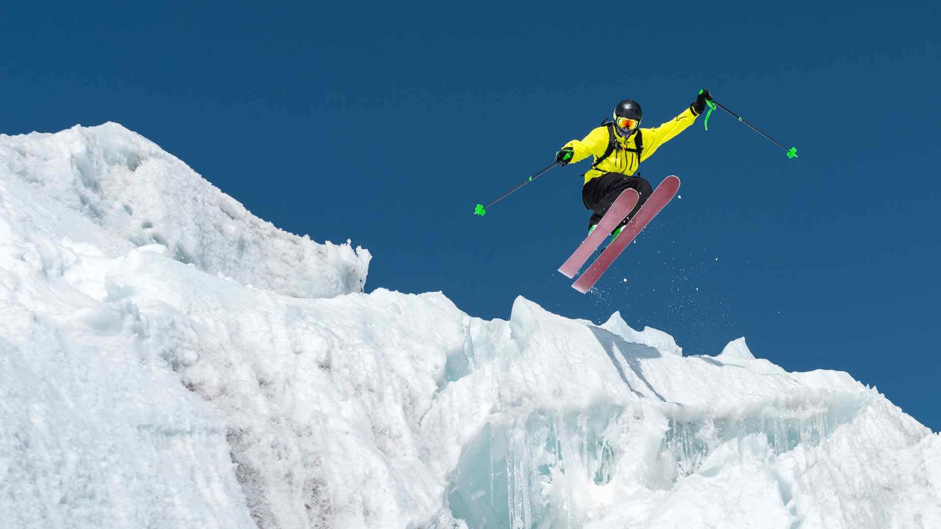
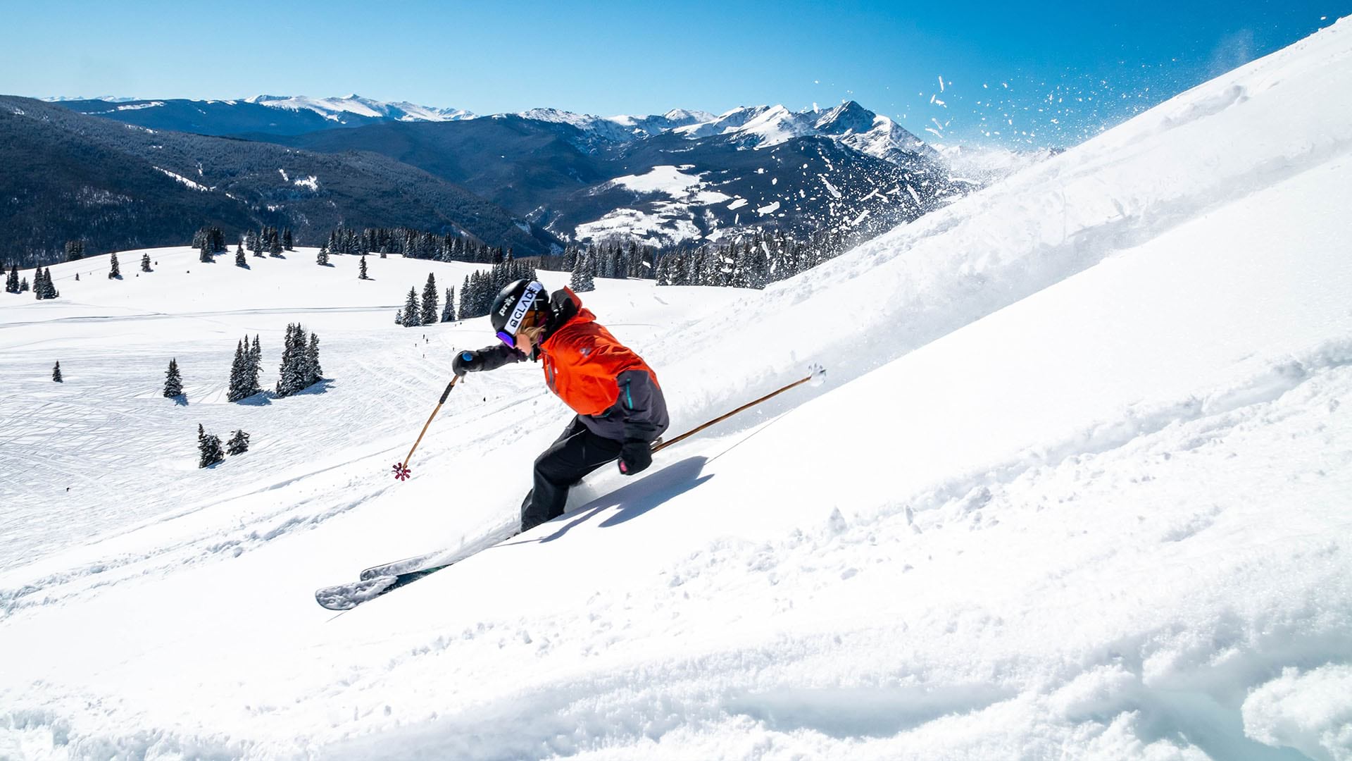
Those apps, in turn, can amplify the experiences people crave. Since Relive launched in 2016, it has expanded from a tool to track cycling trips to a companion for all kinds of outings—motorcycle trips, skiing adventures, marathon training sessions, and more. Each use of the app blends stories and data, and addresses a common human need: to understand and remember our paths through the world.
“You can see from all the feedback we’ve been getting [from] users that they really have an emotional connection with the content that they create with the app,” El-Dardiry says. “That’s quite something.”
It harkens back to the emotion he felt pedaling up a volcano with good friends. And it proves that the best ideas sometimes emerge while you’re doing something else—or when you’re headed in another direction.

For a user—let's say someone who is cycling in Indonesia—the experience. . . of the product might be a bit different than someone who is using it for a run in New York or for a hike in South America . . . Different people use it in a different way, and they give you new ideas. It inspires us to see where [we] can go next.
Making the App More Human, and Rolling Along
El-Dardiry, Daniels, and van Kruijssen were on different career paths when their mountainside inspiration struck in 2015. Within weeks, they had begun charting a new course together.
The friends spent months creating a tool they would use for their own excursions. Once they’d refined the early version into something they could use, they wondered if others might use Relive, too.
In April 2016, El-Dardiry, Daniels, and van Kruijssen shared the app with their fellow volcano climbers and invited them to share it with their friends. Within a week, more than 1,000 people were using Relive. Within a month, 10,000.
Feedback was easy to find on social media. Users seemed to love watching the animations—seeing how the landscape had changed during each adventure, and sometimes seeing how it had changed them. They posted Relive animated videos on Facebook, Twitter, and other platforms, sharing memories of their journeys.
As El-Dardiry, Daniels, and van Kruijssen watched the growing momentum, they started to feel like their startup was rolling down a mountain.
Five years and 13 million users later, Emmett Ball opened his phone near the Canadian border, started the Relive app, and pointed his bike toward Mexico.
The Esri Brief
Trending insights from WhereNext and other leading publicationsTrending articles

December 5, 2024 |

June 23, 2026 |

June 2, 2026 |

March 3, 2026 |

April 7, 2026 |

March 17, 2026 |