displaying 7044 results
Jack Dangermond and National Geographic Society CEO Jill Tiefenthaler discuss technology and the power of storytelling.
Check out this dashboard tracking the adoption of electric vehicles in the U.S. from 2016 to 2022.
Learn how Dawood Engineering designed and developed a web-based GIS portal to manage construction inspection projects.
You've been busy adding items for others in your organization to use. Here's how to prevent accidental deletion of those items.
Check out how to use clustering and binning features in Map Viewer with the latest updates.
Enrich your stories and engage interested readers with optional media and map views.
Check out this forthcoming Esri Press title that shows readers how to build a geodatabase, use 3D GIS, create maps for presentations, and more.
This no-cost training seminar explores Survey123 Connect’s capabilities and demonstrates how to build a sophisticated data collection.
Explore the endless possibilities of interactive web mapping with this forthcoming title from Esri Press.

Tennessee State Parks has embraced GIS technology to empower rangers, modernize park operations, and enhance conservation efforts.

As an industry organization seeks to sunset traditional barcodes, the 2D barcode is poised for new uses.
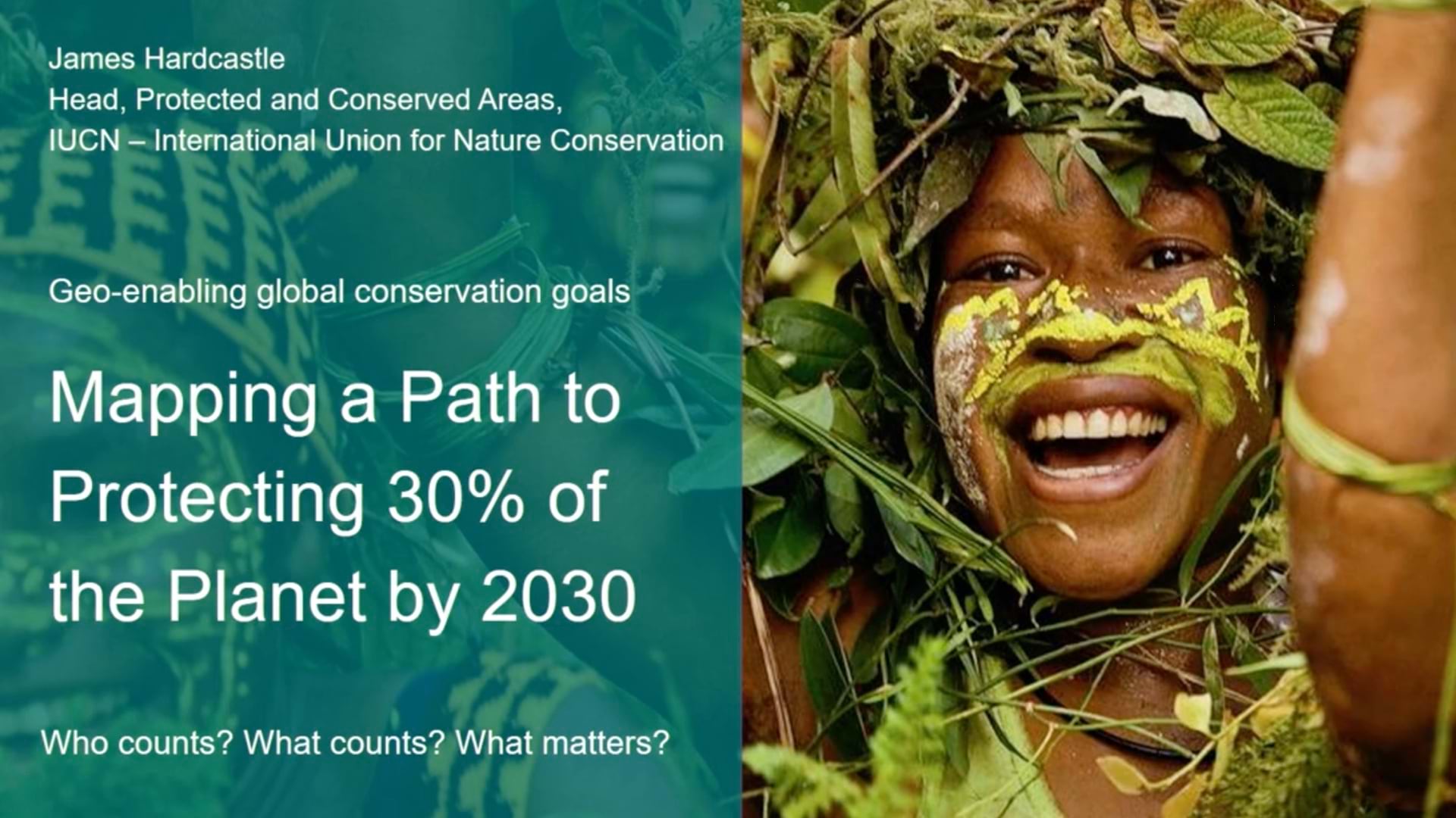
IUCN sets the standard for successful nature conservation and is working to geo-enable the process to achieve 30x30 biodiversity protection.