displaying 871 results

By embracing the use of GIS, UCSB staff have created a campus-wide atlas to manage and update the university’s utility lines.

Esri partners Similix, Intelligis Technologies, ROK Technologies, and VHB improve operational efficiency and business with Esri technology.

ArcGIS Runtime SDKs 100.7 expands capabilities for utilities, defense, and public safety.
When organizations need to upgrade technology, manage and analyze large amounts of data, and synchronize systems, Esri partners can help.
The utility becomes one of the first agencies in the world to combine augmented reality with GIS technology for more efficient fieldwork.

After a destructive windstorm, Avista Utilities implemented ArcGIS for damage assessments. Then the utility augmented its GIS entirely.
Telecom, water, and gas and electric utilities know the value of a geographic approach to planning. New challenges will test their skills.

Clay County Utility Authority used ArcGIS Data Reviewer to improve quality assurance and quality control processes.
ArcGIS Runtime SDKs 100.6 ushers in a track-focused road map for the developer technology centered this time on utilities and public safety.
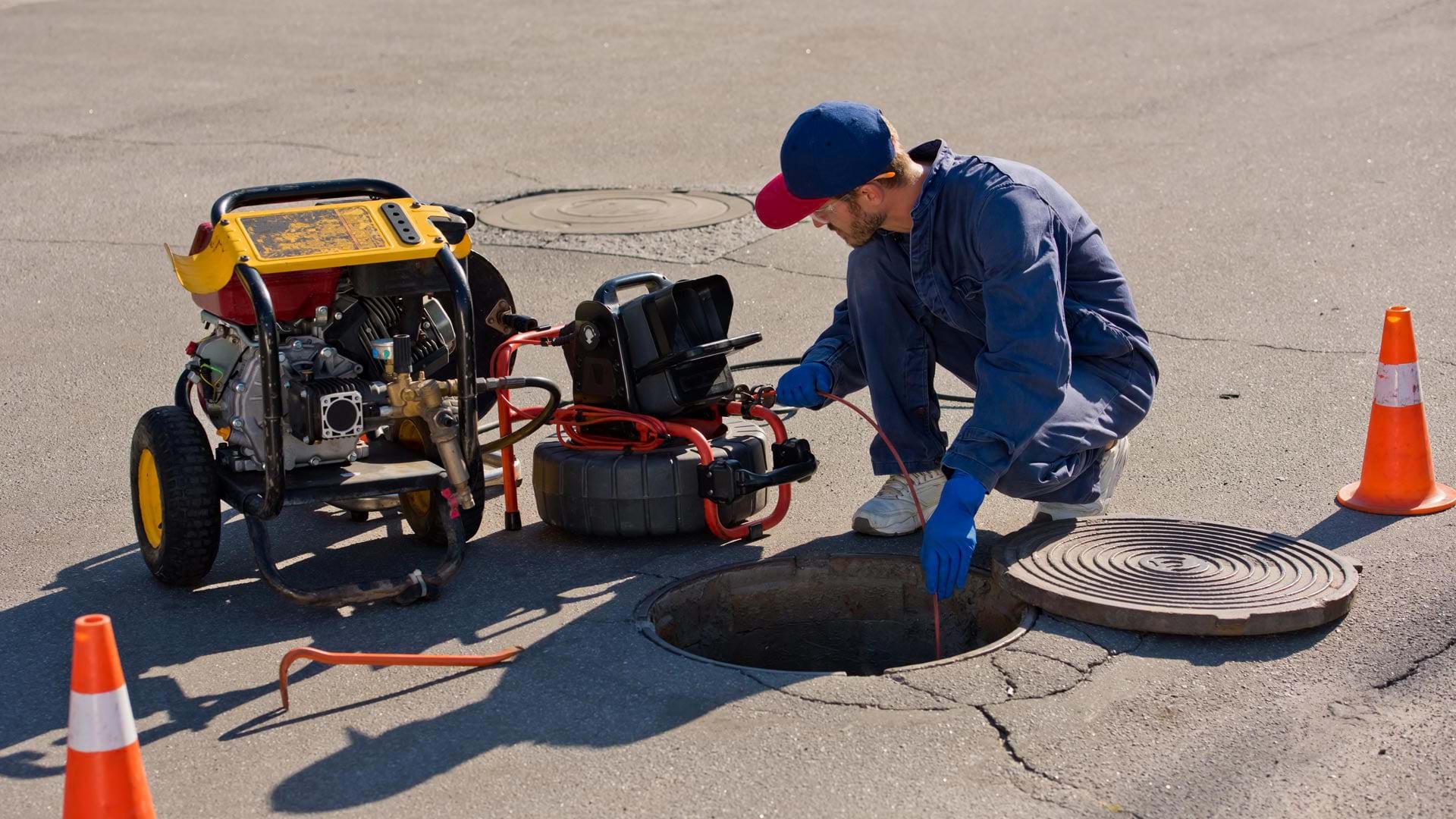
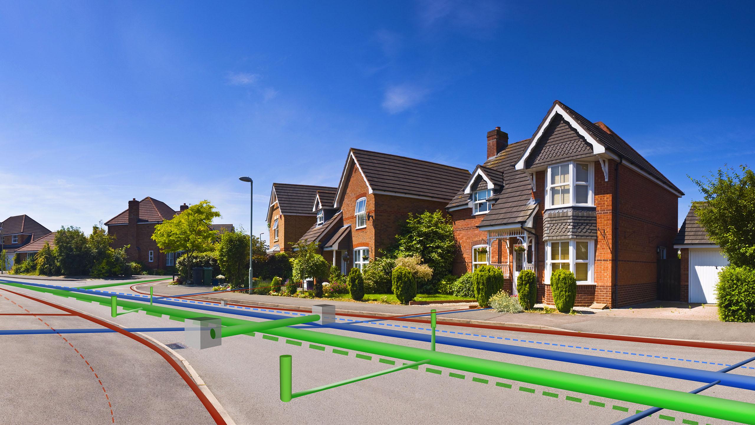
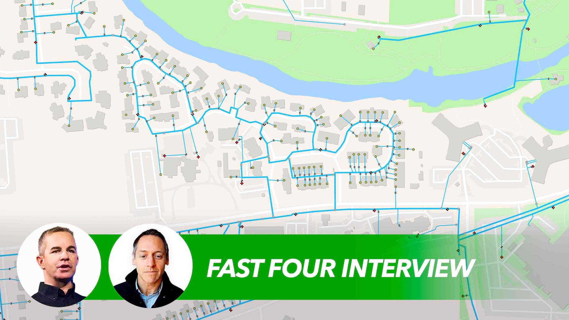
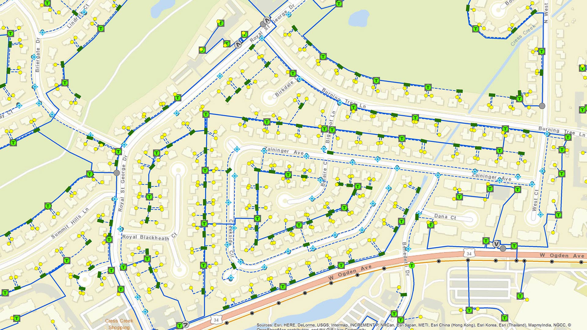
An AI-powered pipe inspection app, when paired with a dynamic tool built in ArcGIS, shows utilities a complete overview of their networks.

After Hurricane Sandy, Iberdrola USA utilities companies used Collector for ArcGIS and ArcGIS Online to create a new, all-events assessment.

Advanced technology from Esri startup partner VODA.ai reduces nonrevenue water loss by finding pipe weaknesses before they fail.