displaying 263 results
The Berkeley Police Department unveiled a Transparency Hub as part of its effort to reimagine policing.
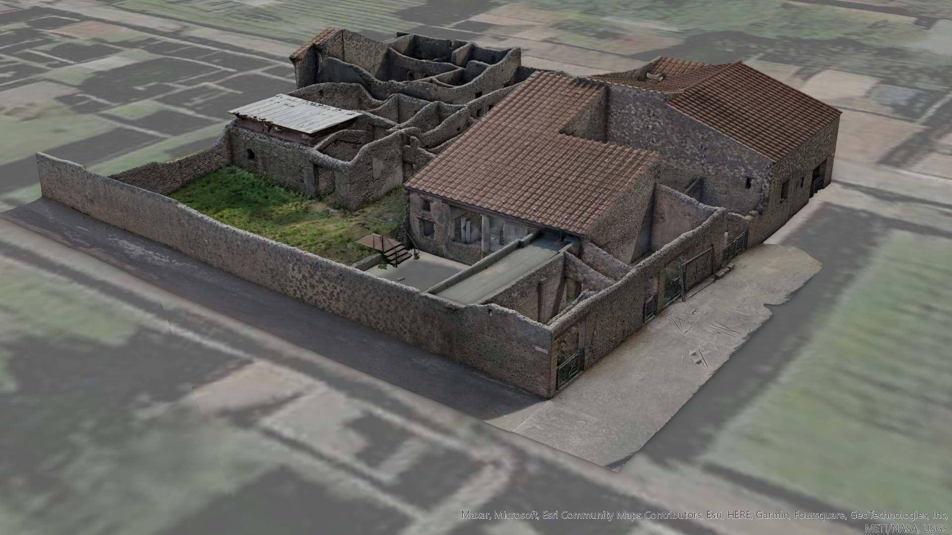
Archaeologists in Pompeii create 3D models of an excavation site for real-time, visual documentation and data about ancient city planning.
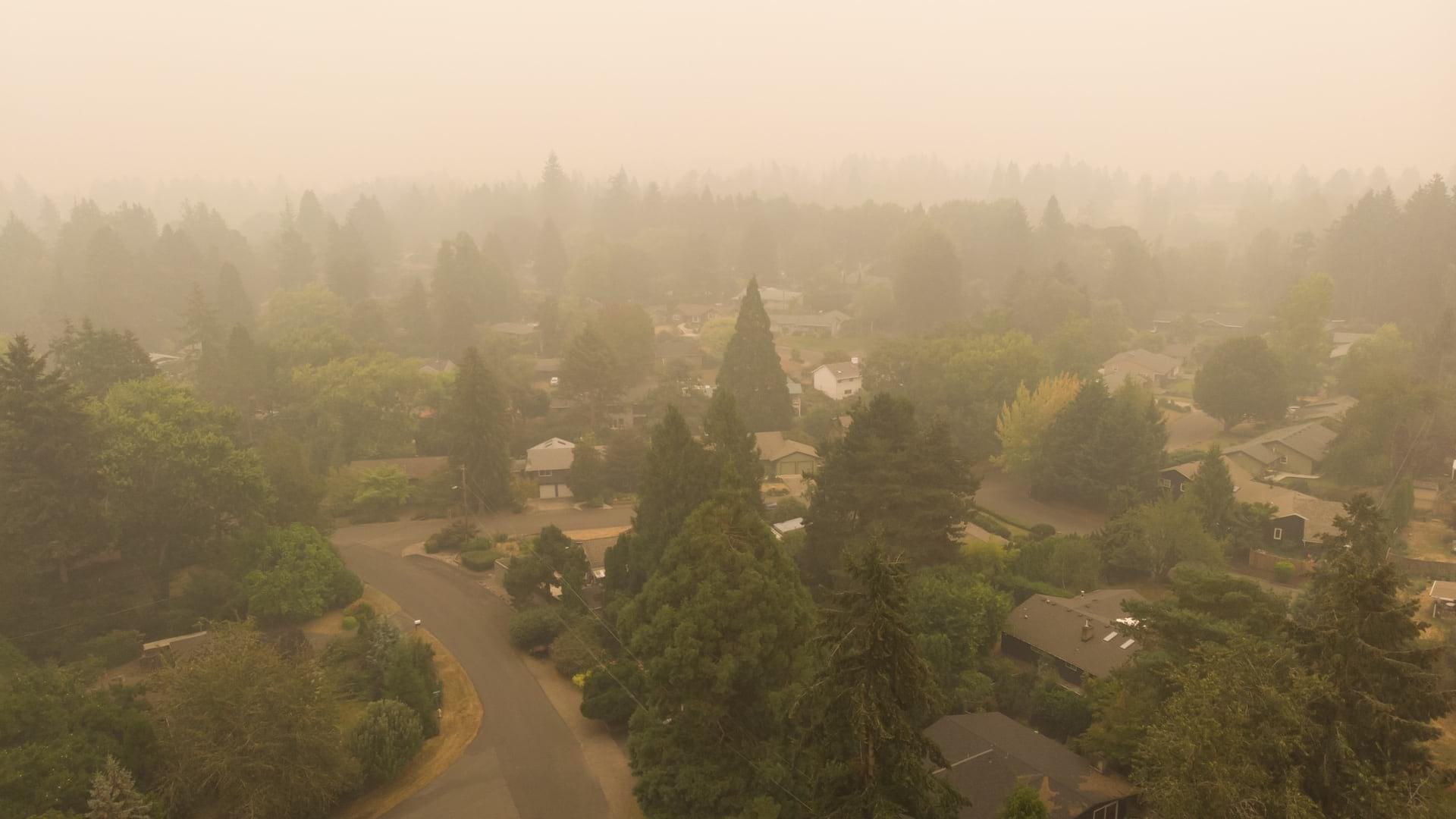
The Ashland Fire Department uses maps to catalogue wildfire risk, prioritize outreach to homeowners, and plan effective home hardening.
At the Esri climate action event, leaders detail work already being done to counter climate change.
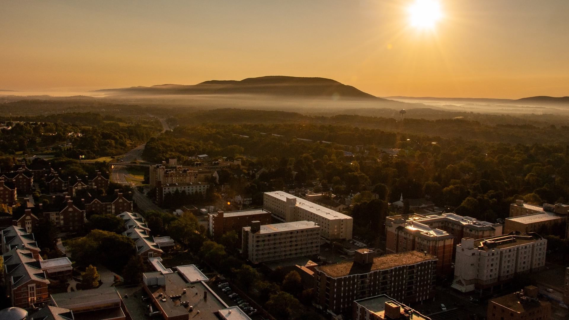
College towns across the country are mapping and analyzing the impact of a luxury student housing boom brought by large investors.
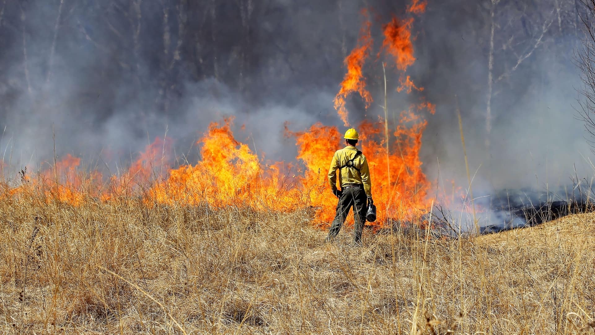
California experts convey the new methods being applied to fight wildfires and improve forest management.
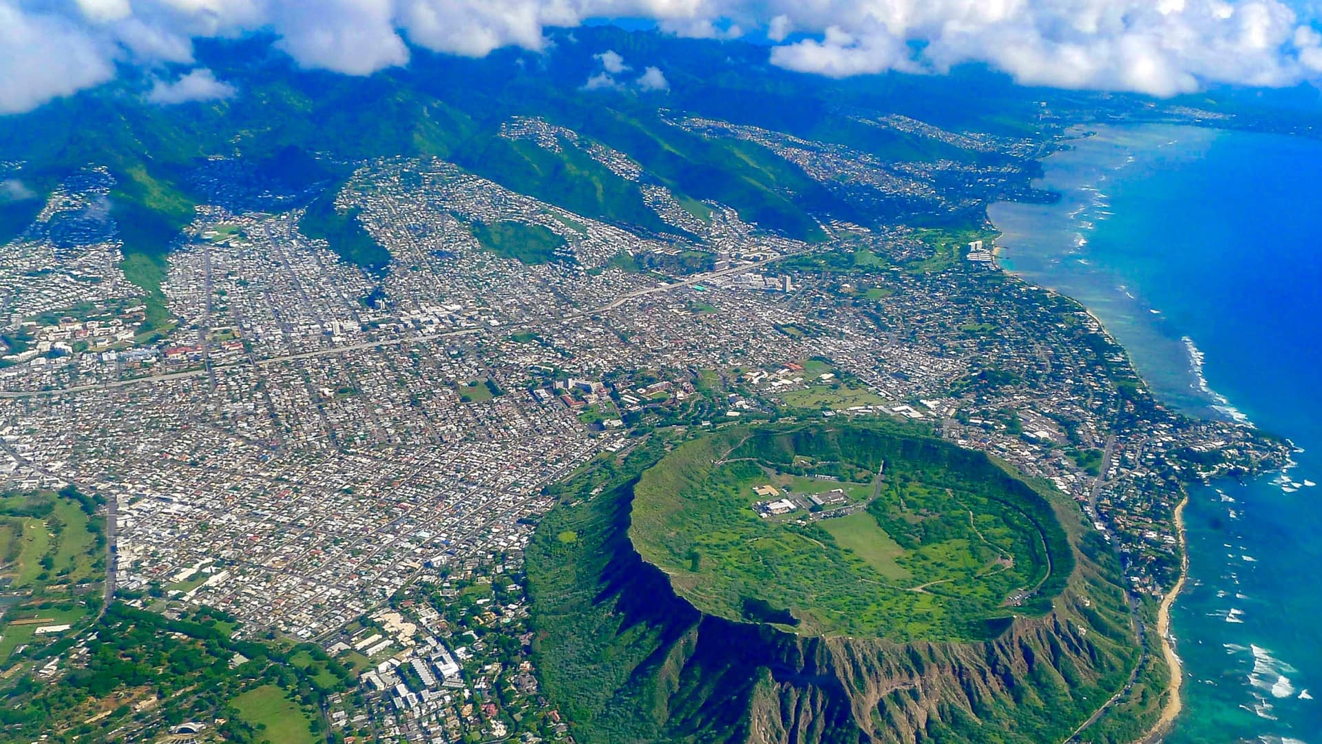
Hawaiʻi Green Growth oversees the Aloha+ Challenge, a set of sustainable development goals the state plans to meet by 2030.

As people's anxiety rises from the Delta variant, dashboards gain a refresh to provide an at-a-glance view to understand infection hotspots.
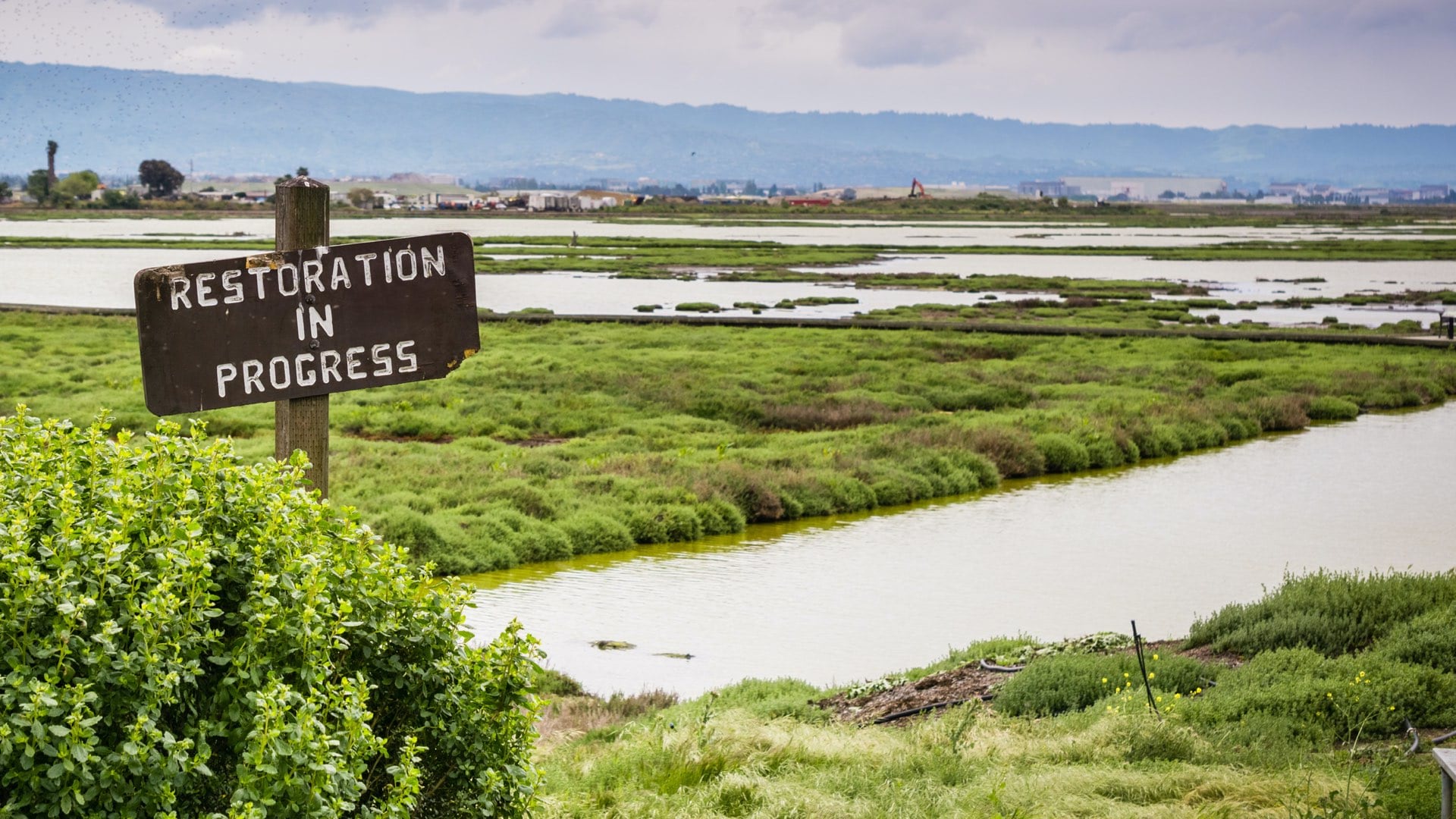
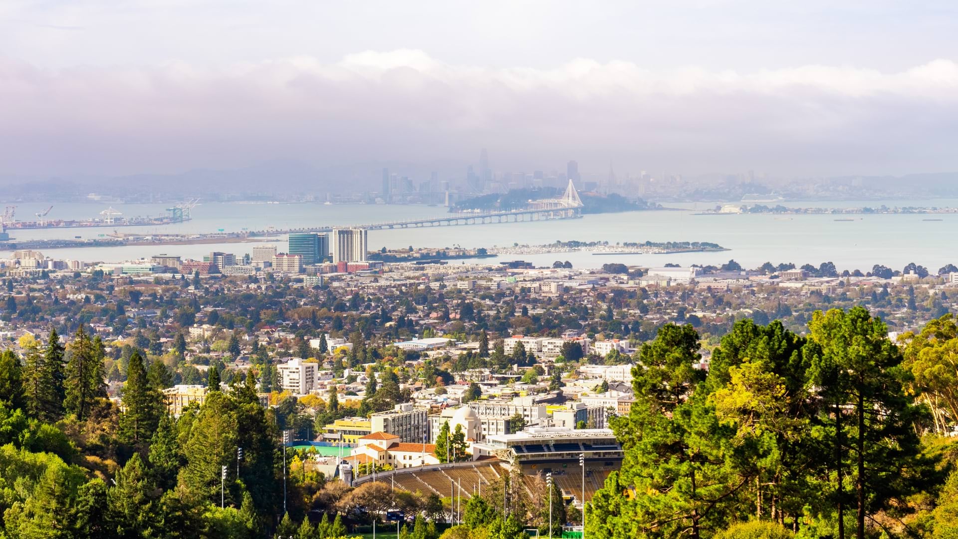
The San Francisco Estuary Institute’s longtime use of GIS has built knowledge that guides daily operations and long-term resilience strategies.

As the world prepares for the most complex global vaccination campaign in history, location intelligence provides essential capabilities.
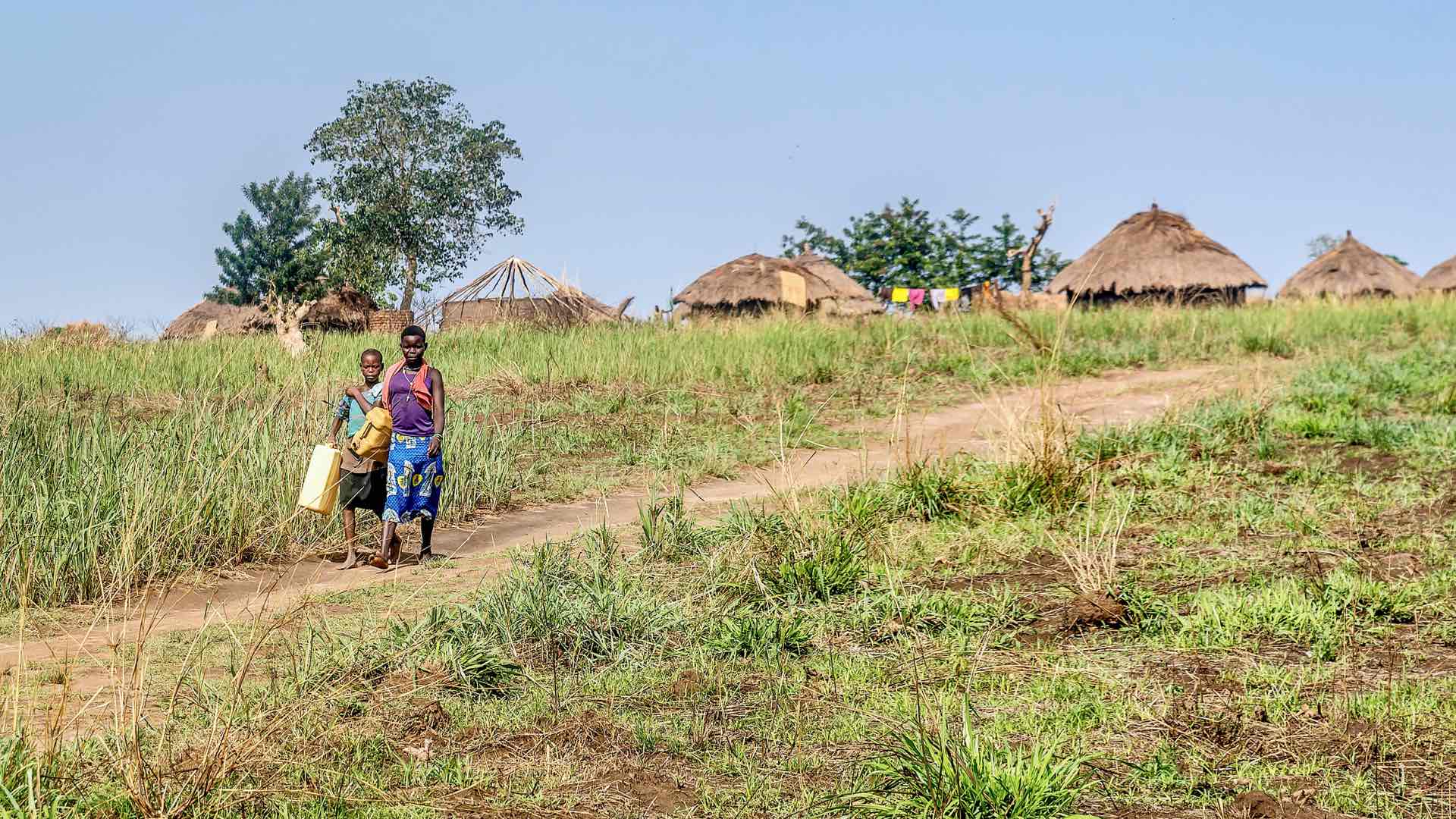
Global Water Challenge created apps to help governments and NGOs prioritize water projects based on the number of people impacted.

Mapping and spatial analytics create information products that capture attention, spur further exploration, and guide decisions.