displaying 396 results
Esri education manager Joseph Kerski shares seven ways to prepare for GIS Day. He also wants to know how your organization will celebrate...
Taylor Shellfish Farms of Shelton, Washington, takes The Science of Where to the tidal flats of Puget Sound to sustainably produce...
More than 2,000 people attended the 2018 Esri Developer Summit in Palm Springs, California, coming away more knowledgeable about app development.
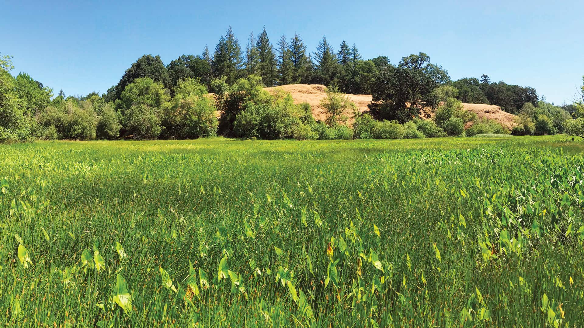
Employing geodesign and translational ecology, Plas Newydd Farm is restoring 876 acres of farmland to its native Pacific Northwest habitat.

Esri signs an MOU with the World Bank, makes field-sourced data available fast in Microsoft, and advances ArcGIS Living Atlas of the World.

Esri constantly strives to make ArcGIS Online more powerful and easier to use. Find out more about some new capabilities and resources.
Esri partner Weather Decision Technologies (WDT) uses advanced GIS to better organize and analyze big data about weather systems that's being...

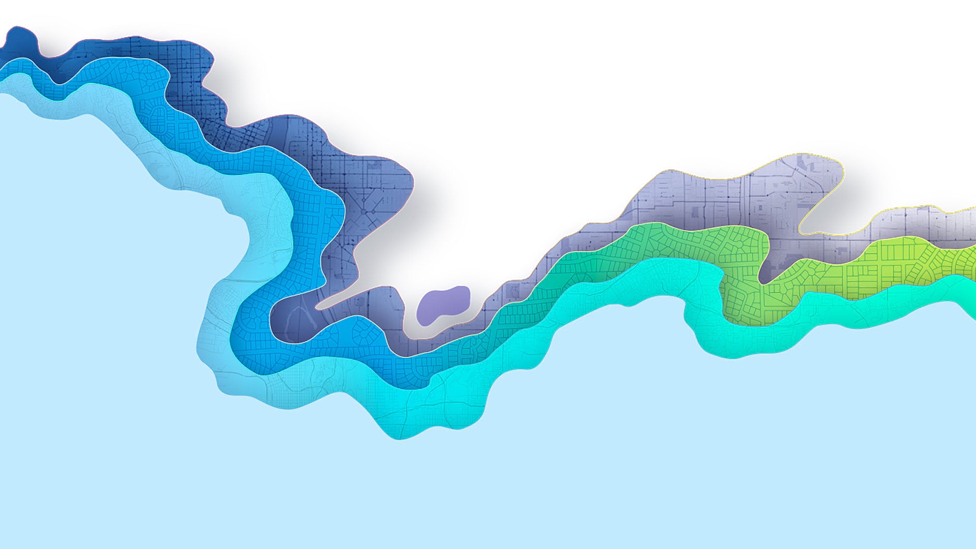
Esri has been engaged with the water resources community for a long time—and now it’s possible to use GIS to forecast flooding.
ArcGIS Maps for Power BI makes it easy to create beautiful, accurate map visualizations within Microsoft Power BI.

At the 2018 Esri Developer Summit, attendees got to interact with new Esri technology and build important relationships.

The latest release of ArcGIS Bathymetry makes bathymetric data easier to identify, extract, analyze, and leverage in web and mobile apps.