displaying 103 results

Esri awarded 27 partners for their innovation and excellence in helping customers succeed with ArcGIS technology. Find out more about them.
Recent updates focused on real-time and big data analysis, working with imagery, additional options for designing urban plans, and more.
At the 2022 Esri Partner Conference, Esri acknowledged 26 partners for the remarkable solutions, services, and content they offer.

Recent releases of some of Esri’s most popular app builders help users deliver compelling digital experiences along with their maps.
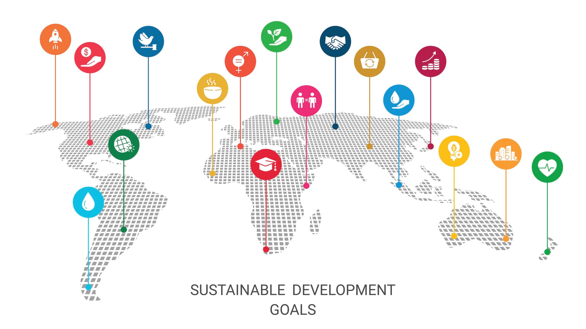
We have less than eight years to achieve the Sustainable Development Goals. Maps can help us better understand them and monitor progress.

ArcGIS Workflow Manager enables users to complete tasks and projects in a predictable, accurate, and timely manner.
Despite a global pandemic, the Esri community from around the world joined together in July to watch the first virtual Esri UC.
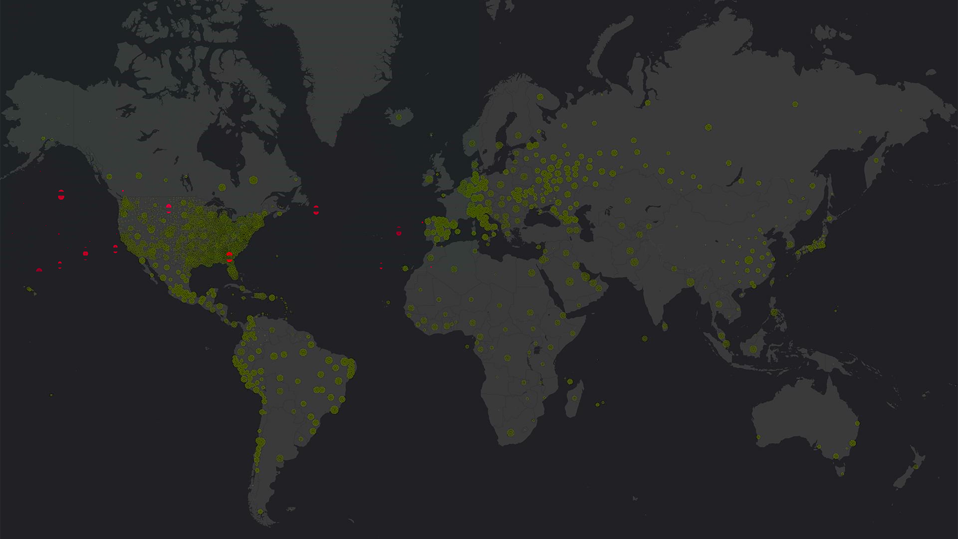
Health ministries, nonprofits, hospitals, and municipalities used GIS to locate cases of COVID-19, predict its spread, and start reopening.

The World Geospatial Industry Council (WGIC) brings together the most respected leaders in the geospatial industry under one umbrella.
At the 2019 Esri Partner Conference, Esri recognized partners in 13 award categories for their expertise and superb ArcGIS implementations.
From creating a city’s master plan and launching enterprise GIS at a port to making street-level imagery available, Esri partners do it all!
Esri is hiring people with all levels of experience for positions at its headquarters, regional offices, and R&D Centers.