displaying 992 results
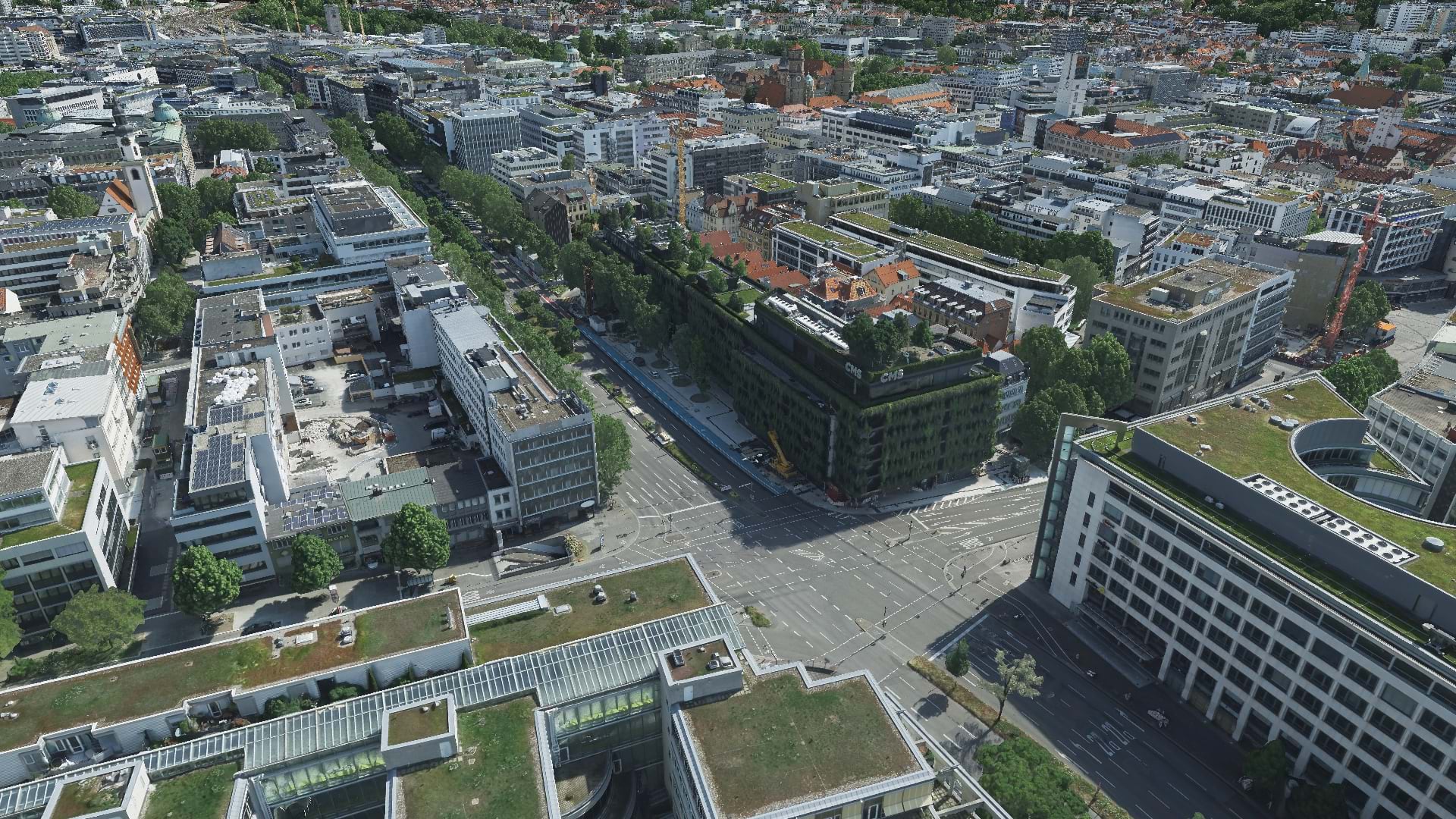
With aerial data and reality mapping, GeoFly helped create a 3D model of the City of Stuttgart to build an even smarter city.
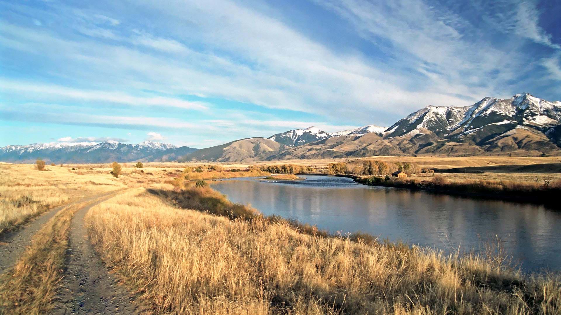
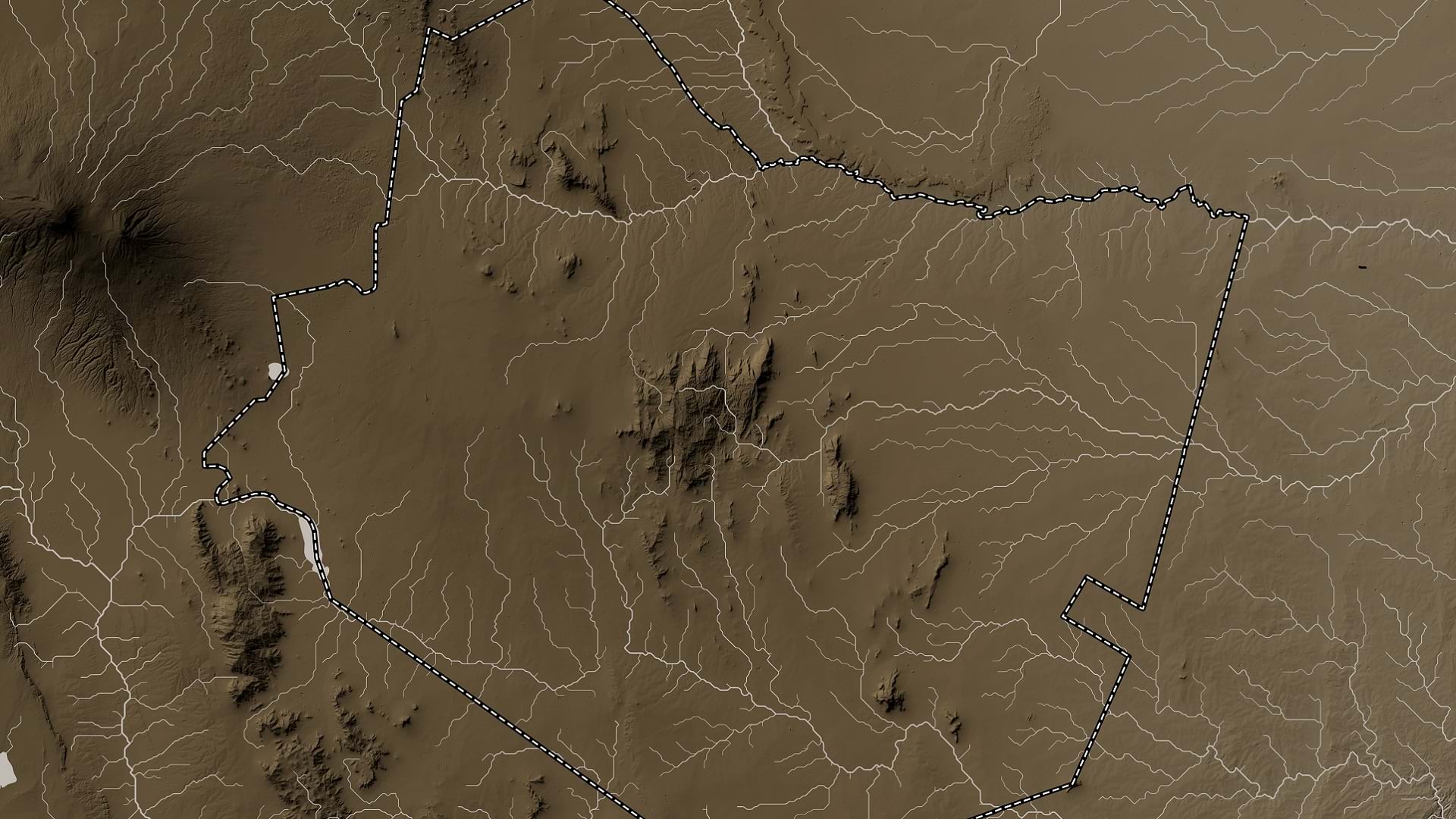
The DNRC’s app allows users to easily examine the state’s surface water locations and get detailed reports about streamflows.
The Alabama Forestry Commission leverages ArcGIS StoryMaps to showcase the state’s work to protect and manage forest resources.
In the face of a stark digital divide, programs like Tuneni use GIS tools to close the gap between students with and without internet access.
Researchers at Taita Taveta University are using imagery and ArcGIS technology to mitigate the grim effects of gully erosion in southern Kenya.

Today's advanced enterprise GIS software contains many ideas that have germinated in GIScience research.

Many government agencies are turning to GIS to capture the knowledge that workers would otherwise take with them when they retire.

Learn how to make a sea level rise map in a minute or less using ArcGIS Online and ArcGIS Living Atlas of the World.
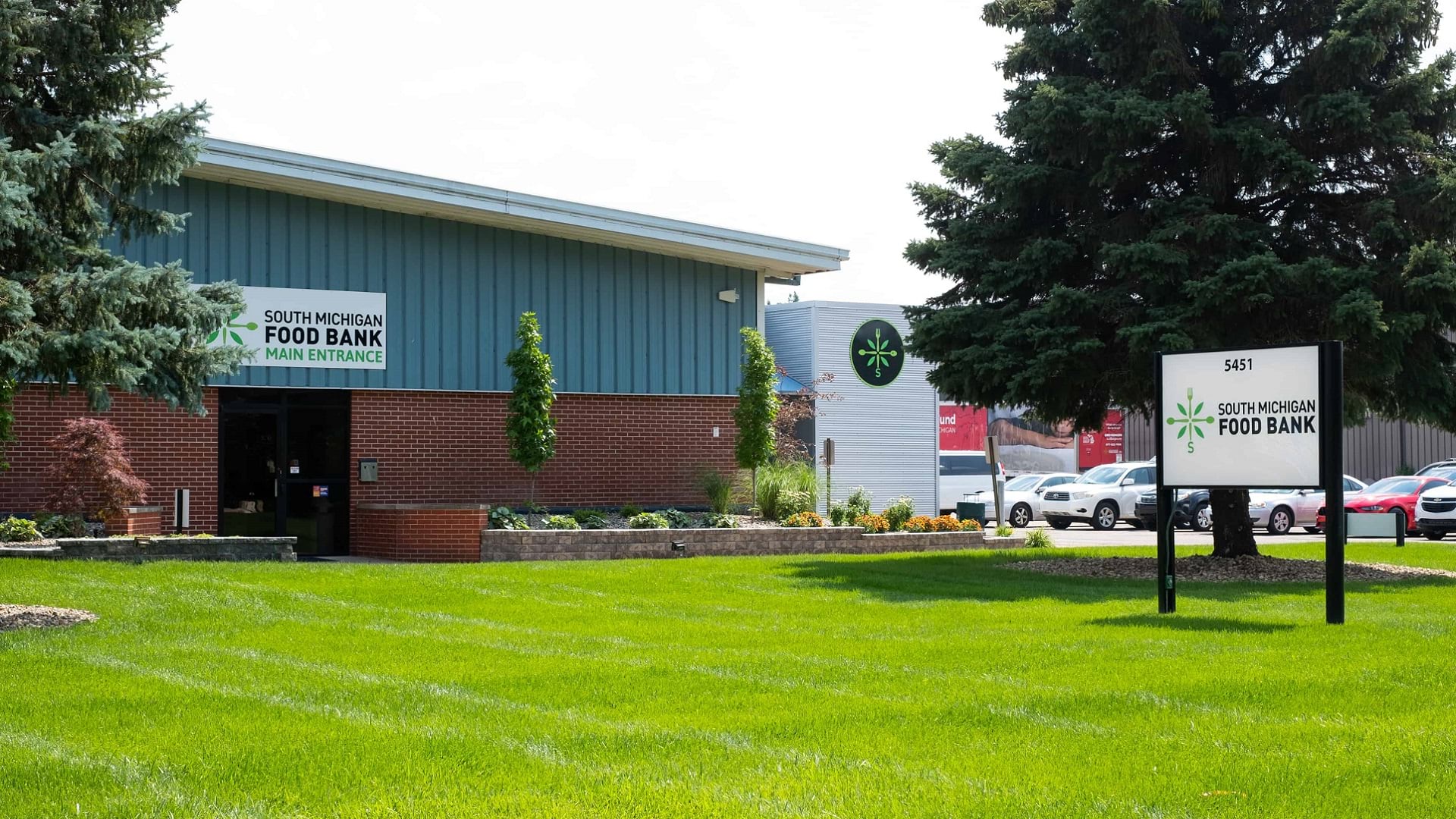
A collaboration between the South Michigan Food Bank and Coastal Carolina University has spurred a food distribution strategy driven by data.

The URISA GIS Leadership Academy cultivates well-rounded geospatial leaders by introducing attendees to cutting-edge management practices.
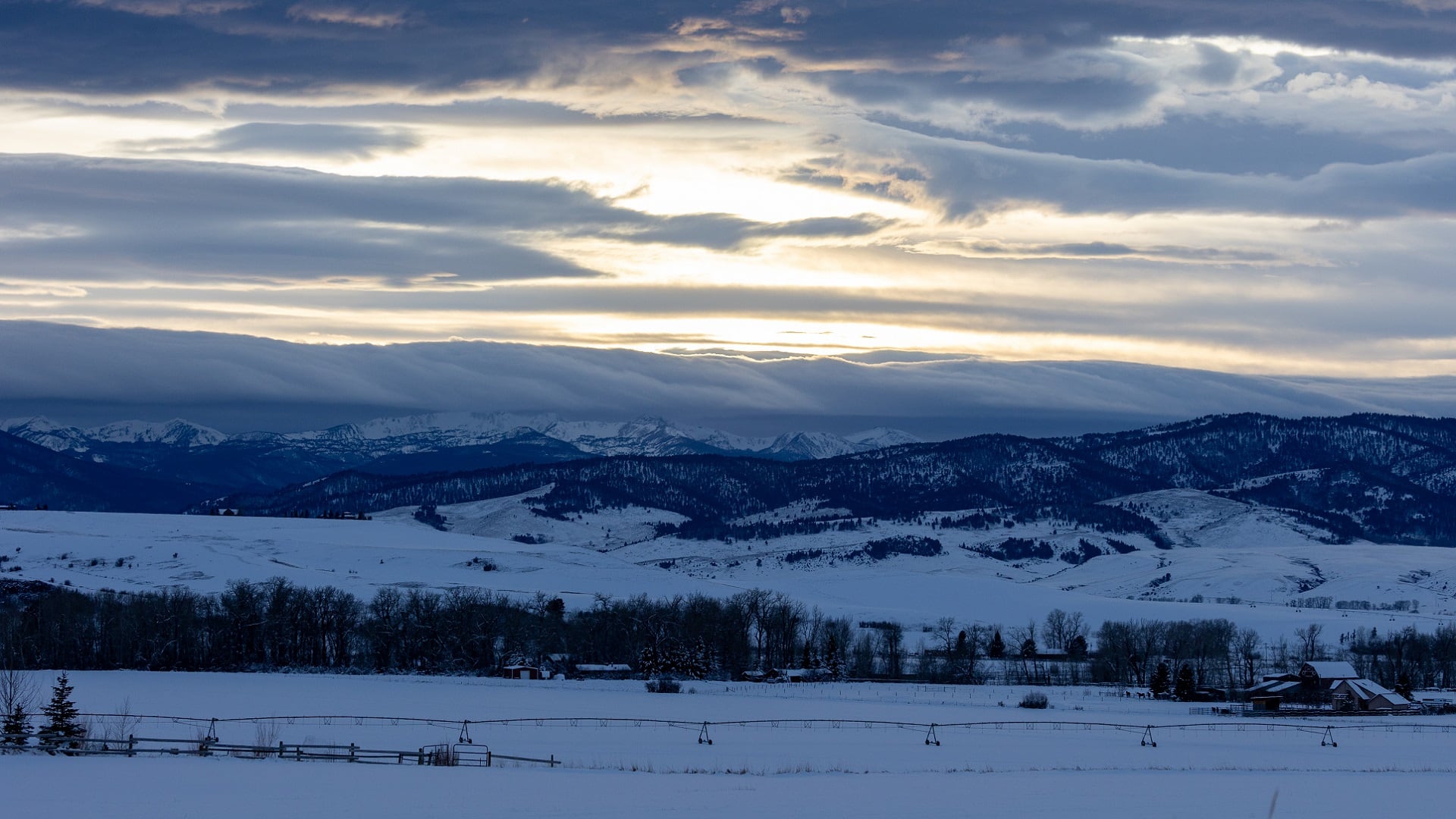
Students at Montana State University are using drone imagery and ArcGIS technology to ensure their campus can withstand severe winter storms.
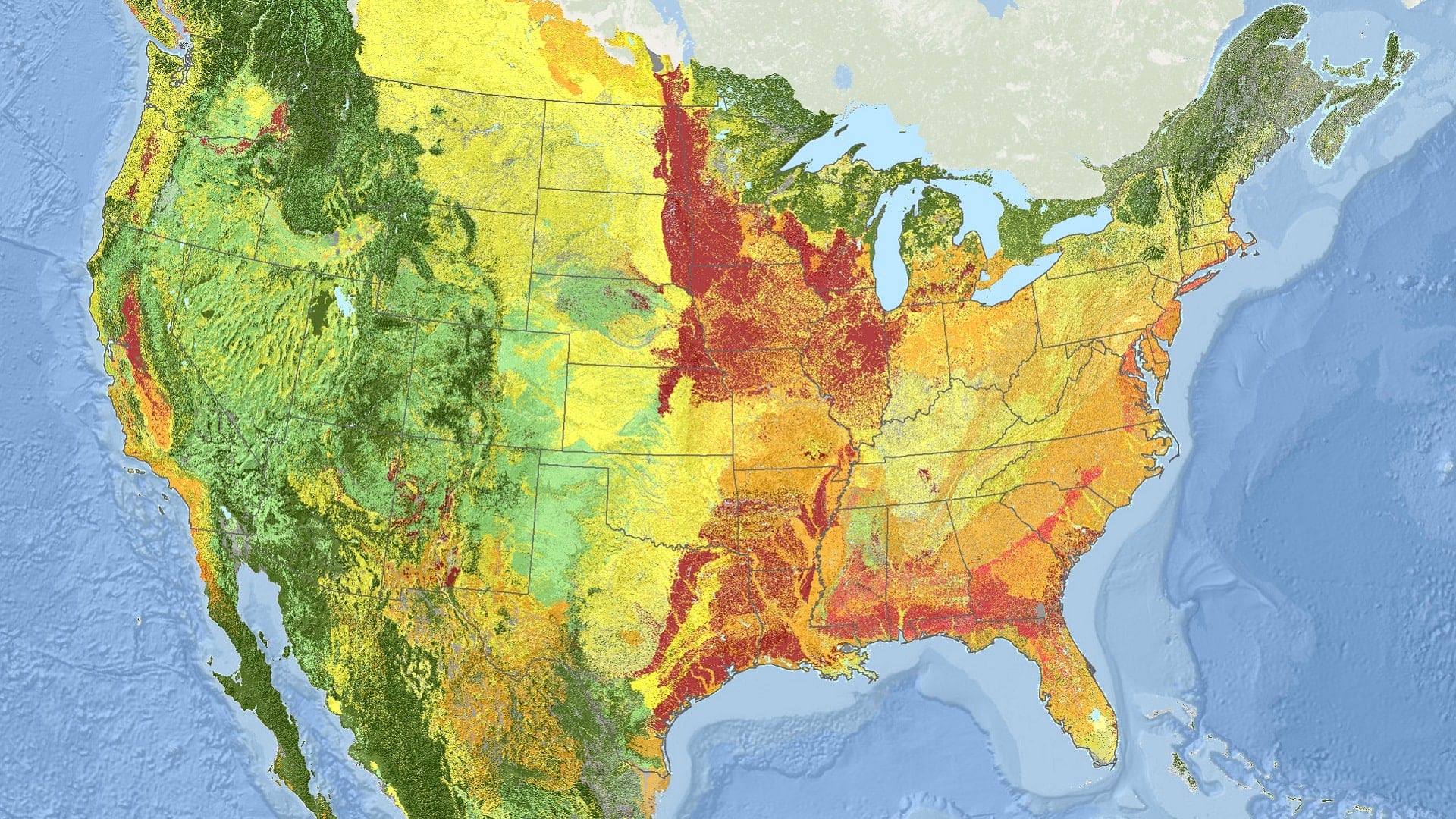
Using ArcGIS technology, NatureServe has applied a new standard for monitoring ecosystems at risk of collapse across North America.