displaying 778 results

Counties across the United States are relying on GIS to adapt voting practices to the realities brought on by the (COVID-19 pandemic.

At the 2020 Esri User Conference, Regional Municipality of York was honored for creating a shared geospatial infrastructure.
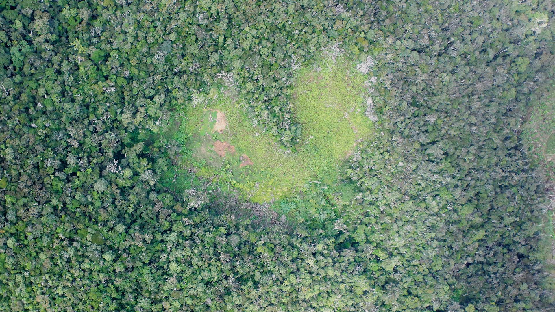
Kew Gardens started the Tropical Important Plant Areas (TIPA) project to assess plant conservation priorities.

he most inspiring part of today’s planning environment is that planners don’t also have to be GIS professionals.

ArcGIS Living Atlas of the World make it easy for students to learn about demographics and population change in a way that is engaging.

ArcGIS Runtime SDKs 100.7 expands capabilities for utilities, defense, and public safety.

The USSOUTHCOM uses deep learning capabilities to monitor ship movements.
The California State Geoportal consolidates data, maps, and apps from 25 state agencies in one place using ArcGIS Hub.

Esri is refocusing the conversation around smart from vague promises to a specific geospatial strategy that can deliver the results.

The GEBCO-Nippon Foundation Alumni team (GEBCO-NF Alumni) won the Shell Ocean Discovery XPRIZE.

Esri R&D Center in NewDelhi; release of ArcGIS Indoors; TLS upgrade for security; Jack Dangermond appointed an Officer in the Orange-Nassau.

The GIS Managers’ Open Summit (GISMOS) on July 9, 2019 at the Esri User Conference will help you become a leader in your organization.