displaying 1009 results

The ongoing successful development of modern cartography requires taking an integrated, interdisciplinary approach to producing maps.

Join URISA’s Policy Advisory Committee, which monitors policies making their way through governments and often influences outcomes.

Learn to make a sea temperature and coral bleaching map in a minute using ArcGIS Online and ArcGIS Living Atlas of the World.

With Gilytics’ GIS-based platform, Pathfinder, companies can optimize design, routing, and stakeholder engagement.

A Colorado-based railroad management company is maximizing asset value by using ArcGIS Field Maps and a custom GIS app.
Esri location analytics combines business analytics and geography to provide enterprise mapping visualization, information enrichment, and advan…
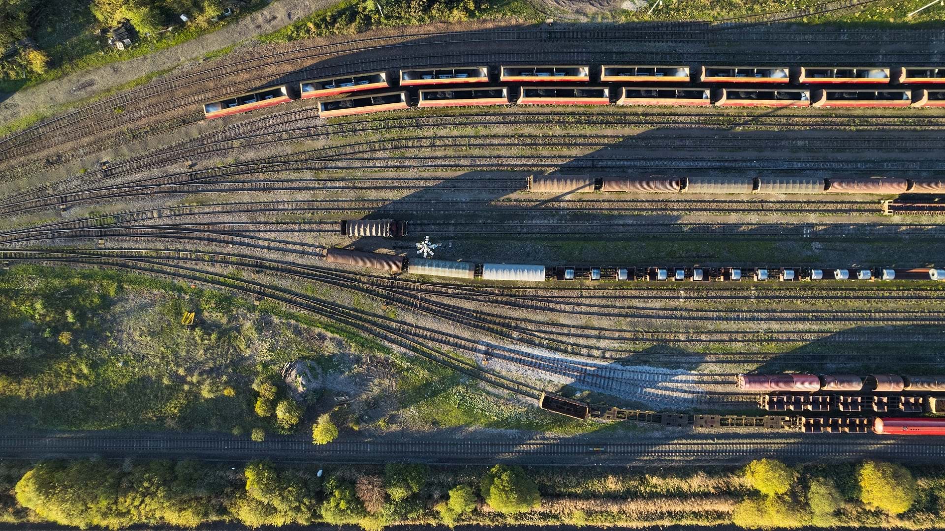
Short-line rail company OmniTRAX is employing GIS tools like ArcGIS Enterprise to streamline its operations and improve customer service.

Two web apps are now used to manage the nearly 2,000 acres that make up the Palace of Versailles. And more GIS solutions are in the works.
Learn more about the recently released ArcGIS Reality Studio application and ArcGIS Reality for ArcGIS Pro extension.

Check out Esri's SDG Geospatial Learning Lab, an ArcGIS Hub site dedicated to helping GIS users tackle the UN's Sustainable Development Goals.

It can help security guards keep facilities safe, law enforcement agents enact crime control, and park rangers ensure visitor well-being.

With both feature and raster data, ArcGIS Online users can now use Map Viewer to take measurements, uncover spatial relationships, and more.