displaying 1360 results
ArcGIS Instant Apps and ArcGIS AppStudio are no-code solutions that allow you to create a web app and a native app with one configuration.

Learn how the city of Newport News, Virginia, uses GIS resources to build public facing applications to engage citizens in new ways.
ArcGIS Hub and ArcGIS Enterprise Sites users are supported by a wide variety of learning resources. Get an overview in this article.

Learn how public utilities use ArcGIS Monitor to track ArcGIS Enterprise systems and optimize the health and efficacy of back-end tasks.
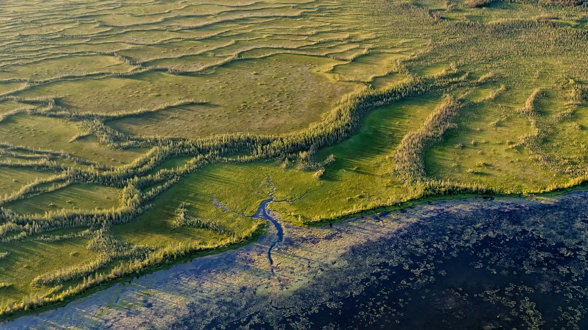
Using GIS-based weed-spraying technology, environmental restoration organizations are working to reverse the impacts of industrial development.

New books cover switching to ArcGIS Pro from ArcMap, how to employ GIS in education, how to use location analytics, and more.
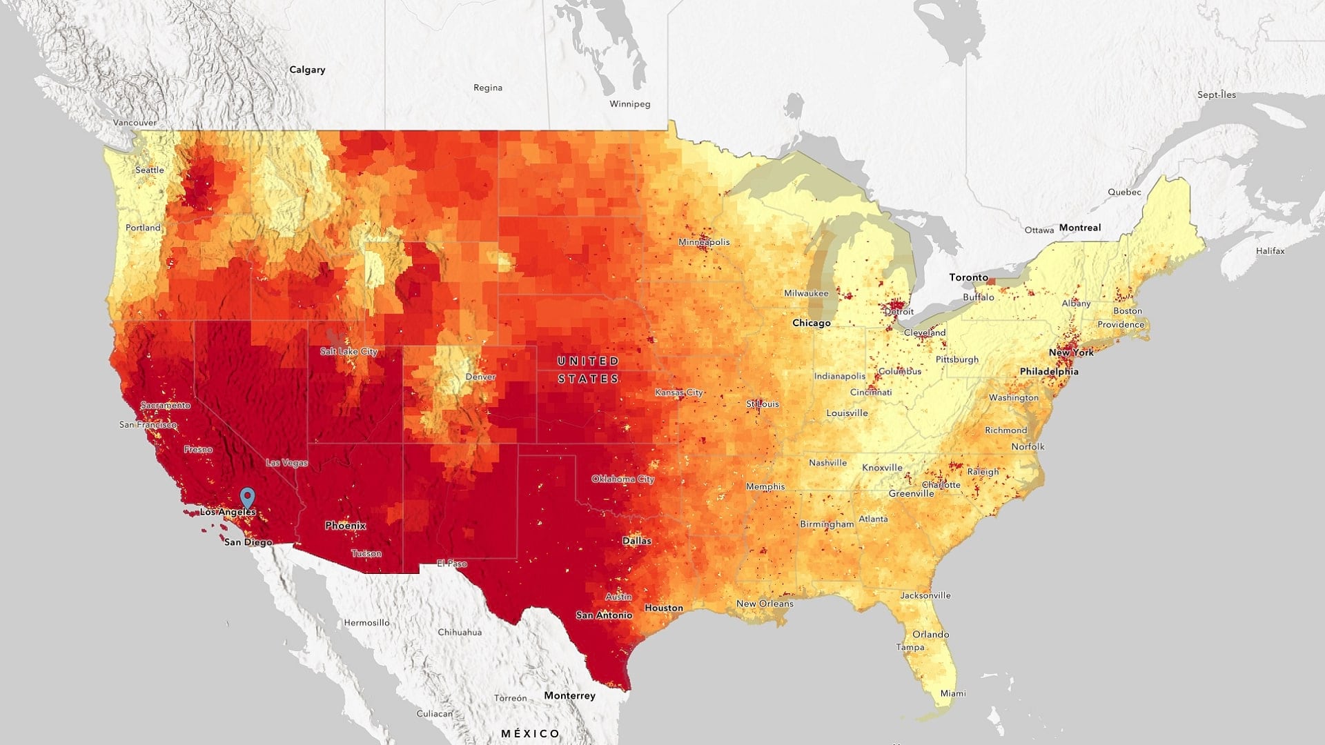
The White House's new Climate Mapping for Resilience and Adaptation portal brings together critical geospatial climate data in one place.

Add context to your scenes with the new OpenStreetMap layers from ArcGIS Living Atlas of the World.

Officials in Tulare County, CA turned to Esri Redistricting to increase transparency and engage the public in the local elections process.

By embracing the use of GIS, UCSB staff have created a campus-wide atlas to manage and update the university’s utility lines.

The 2022 Esri Developer Summit was held in person for the first time in two years. It was exciting for attendees to be together again.

In the age of remote work, the state of Ohio is turning to GIS to address inequalities in reliable broadband access.