displaying 781 results
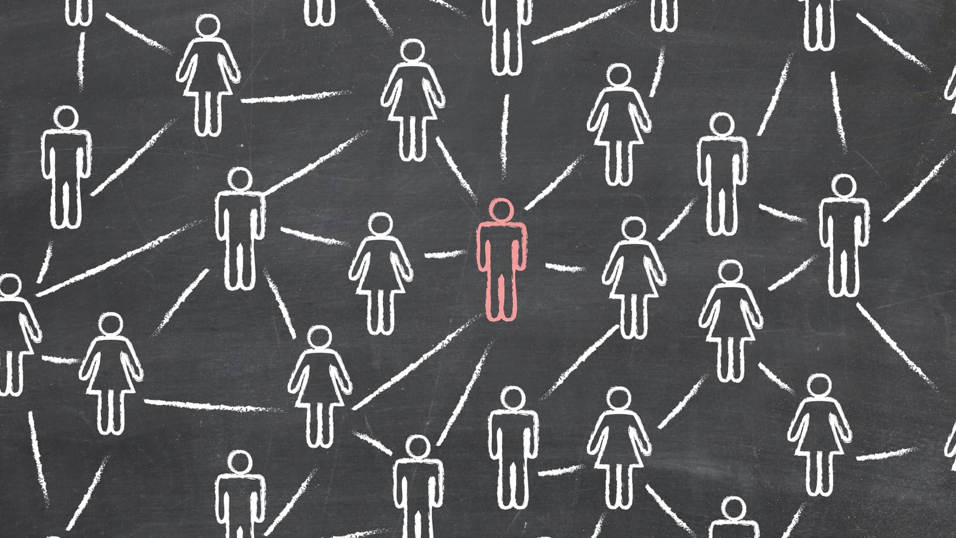
The Center for Human Dynamics in the Mobile Age uses a geographic lens to examine social media feeds to better understand human interactions.
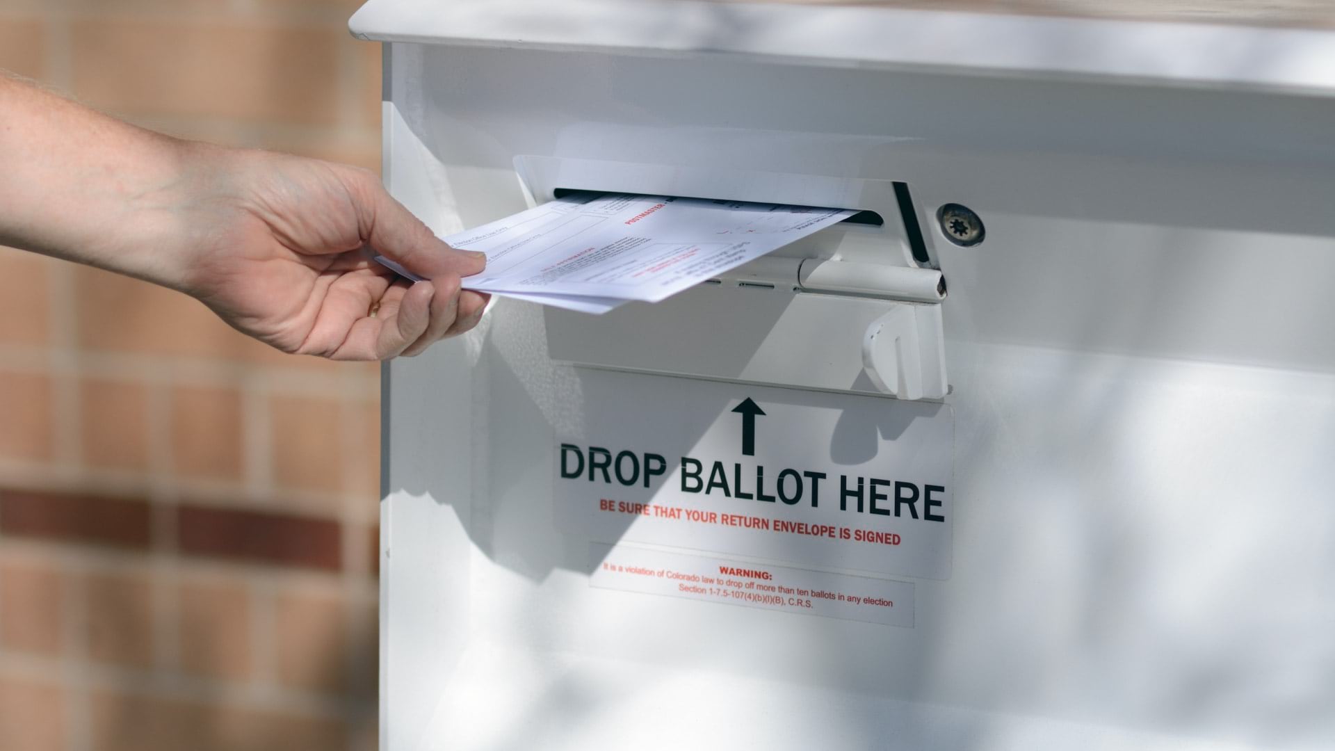
The disruptions of COVID-19 forces election officials to pivot voting practices, using maps to guide participation during the pandemic.
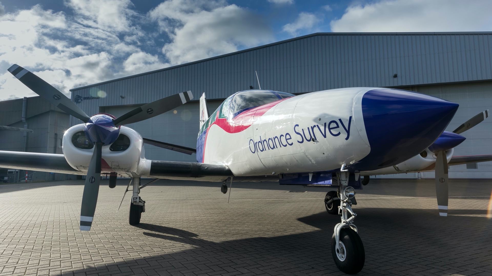
Ordnance Survey captures change across the country, providing a bridge between our physical and digital worlds.
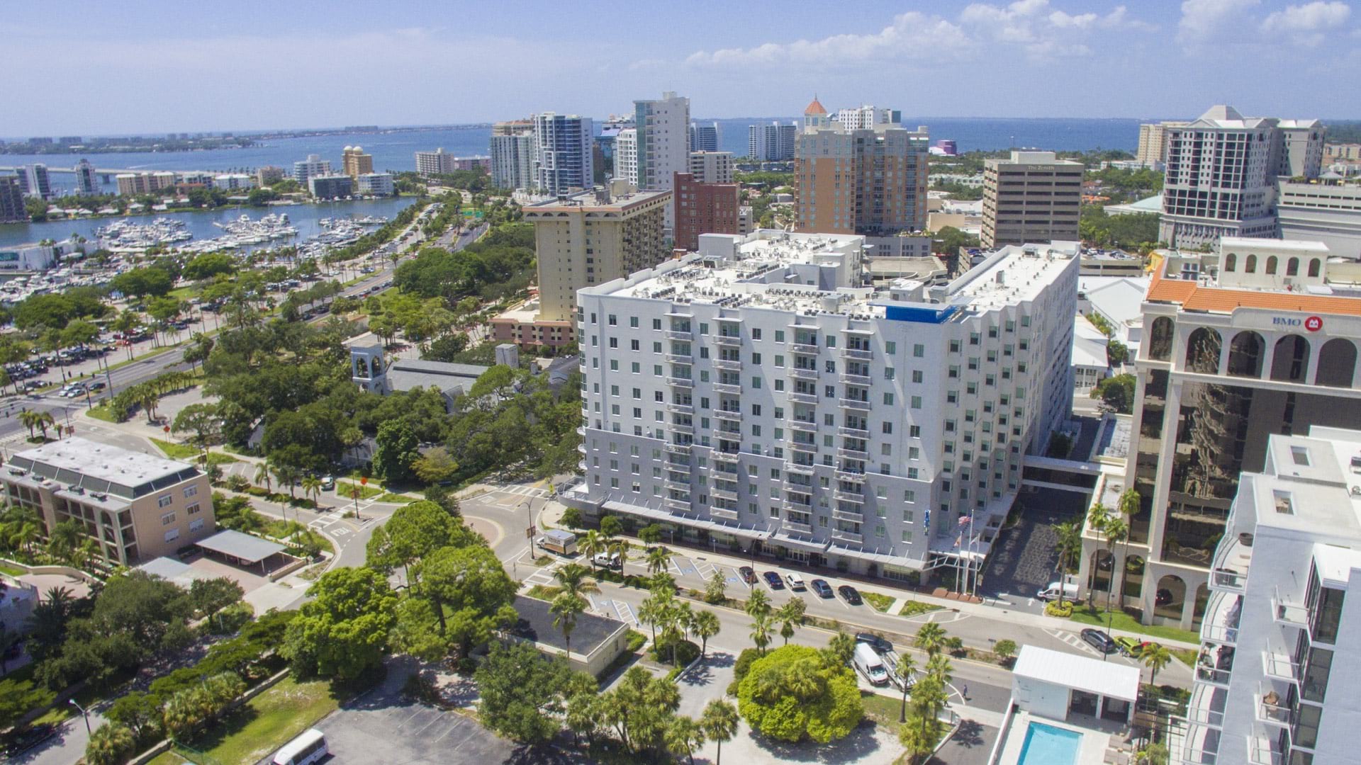
Sarasota, Florida, came up with a creative way to keep idled city employees busy, utilizing an easy-to-use app to update city asset inventory.
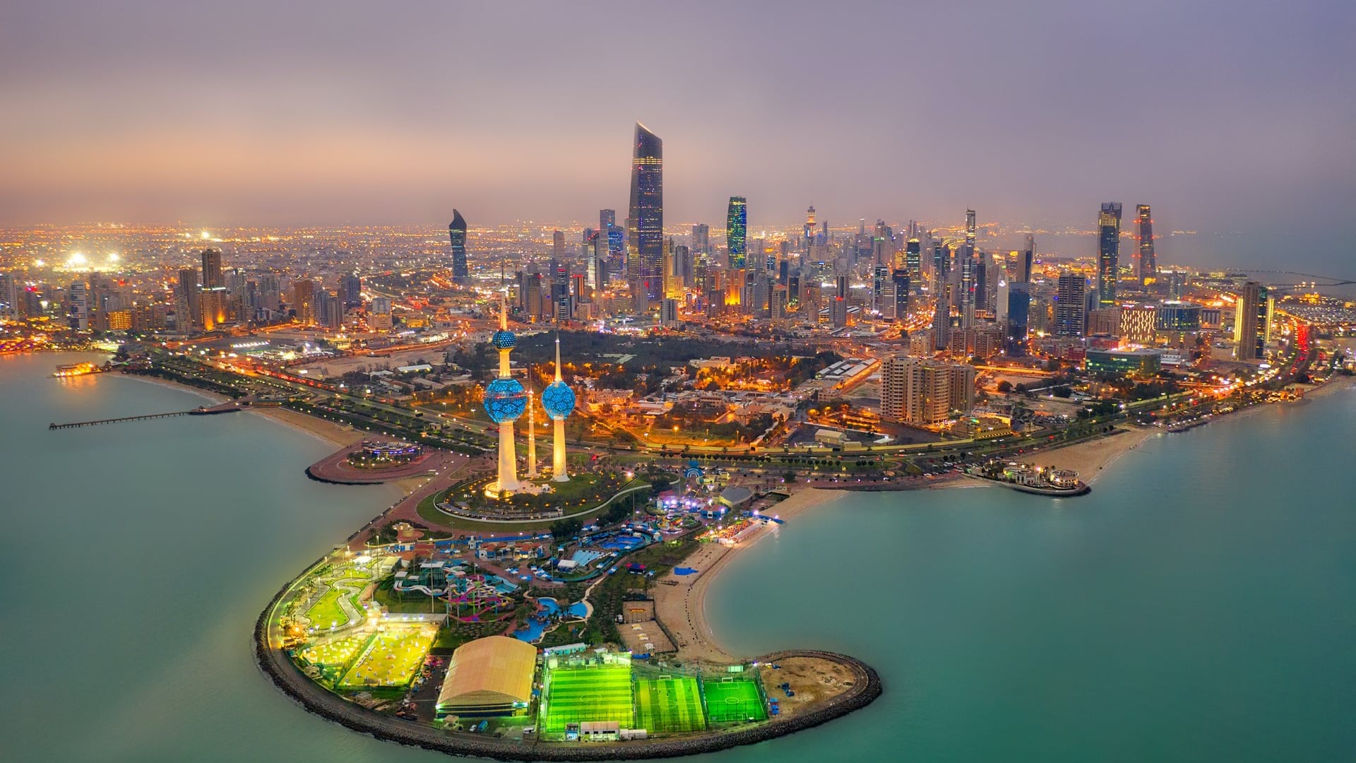
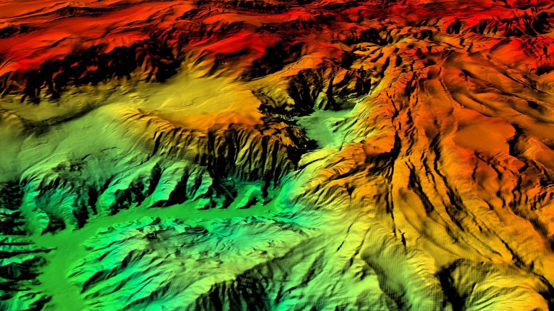
Deep learning helps keep the Kuwait base map up-to-date and complete to provide accurate information in a rapidly developing country.
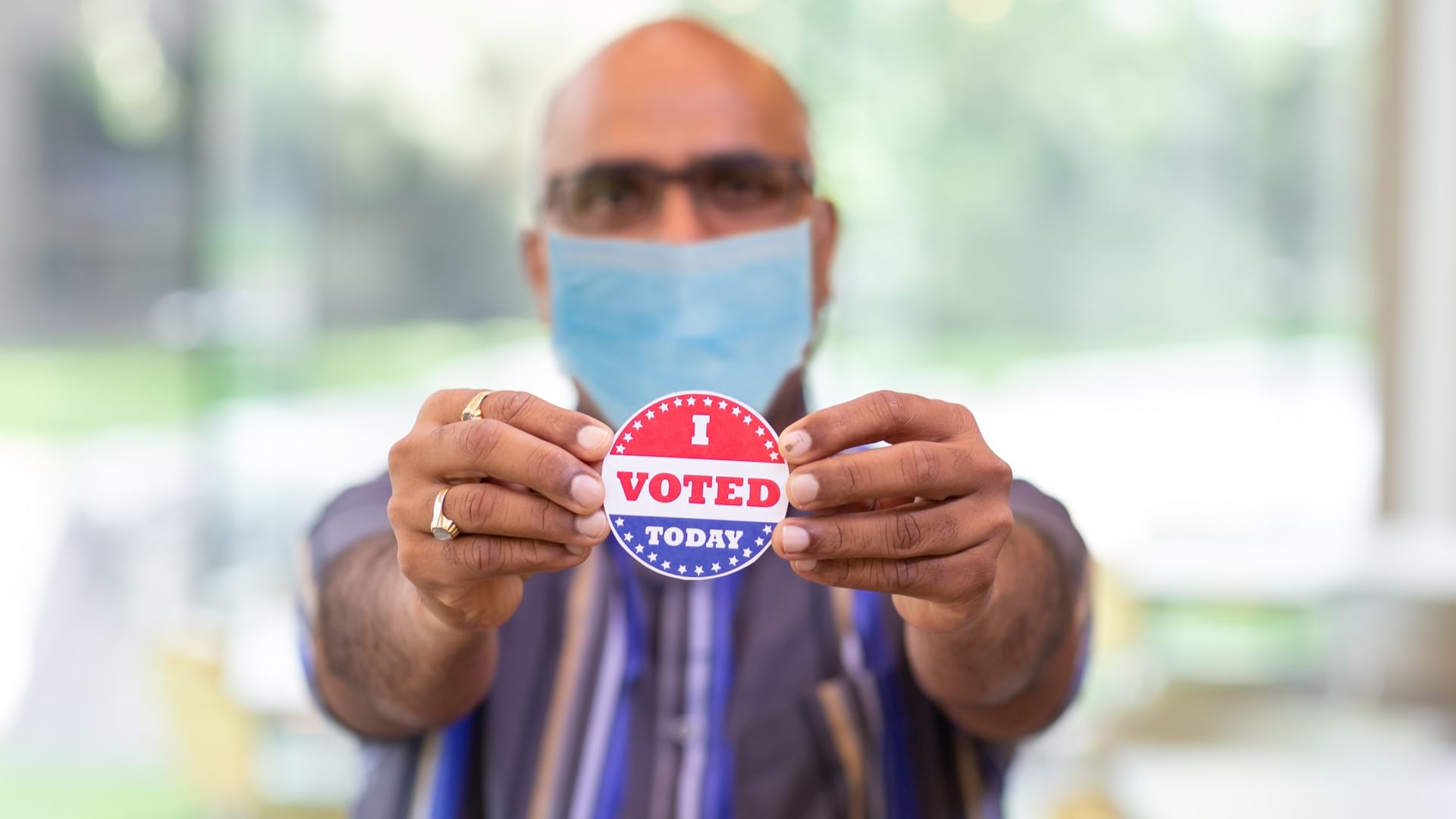
GIS applications help governments modernize election processes to ensure social distancing during the COVID-19 pandemic.
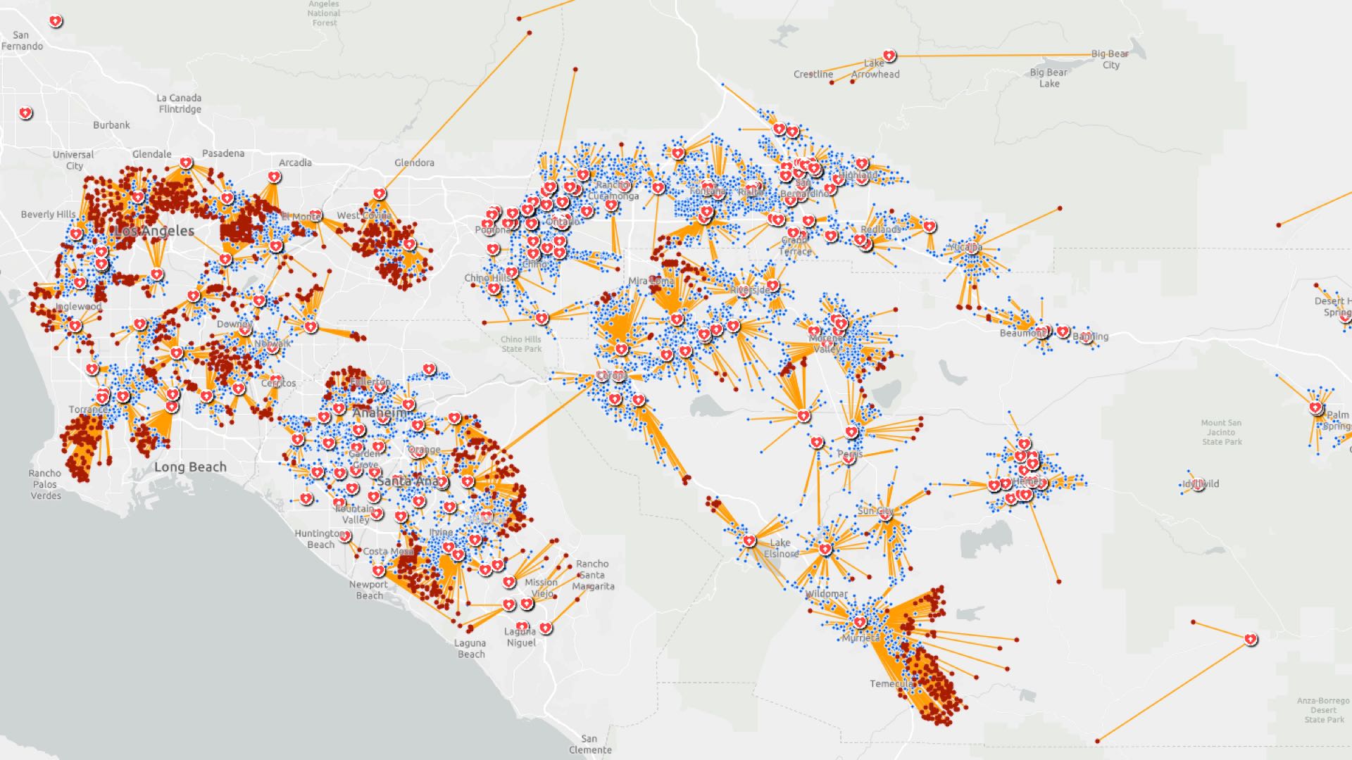
Location intelligence helps investigators trace COVID-19 infection routes, implement control measures, and gauge their effectiveness.
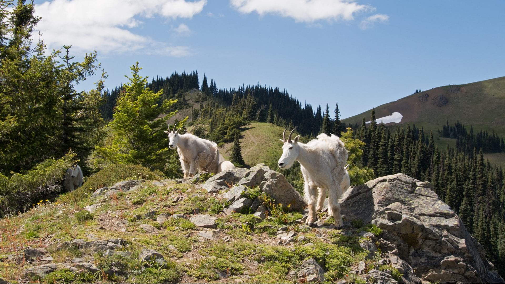
Mountain goats that were not native to Olympic National Park were captured, relocated, and monitored using location intelligence.
The Shell Ocean Discovery XPRIZE has ushered in a new era of autonomous seafloor mapping.

Tracking and mapping wildlife migration mitigates deadly disruptions that endanger the iconic roaming species on our planet.
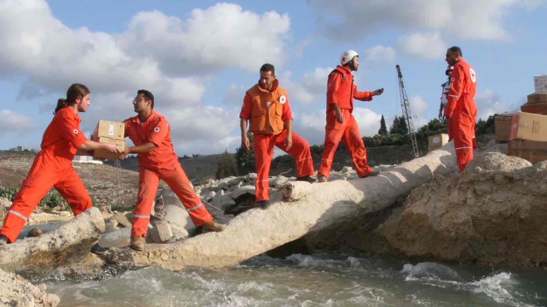
The Lebanese Red Cross use GIS to guide 1 million humanitarian aid actions per year, delivering context to build in-country capacity.
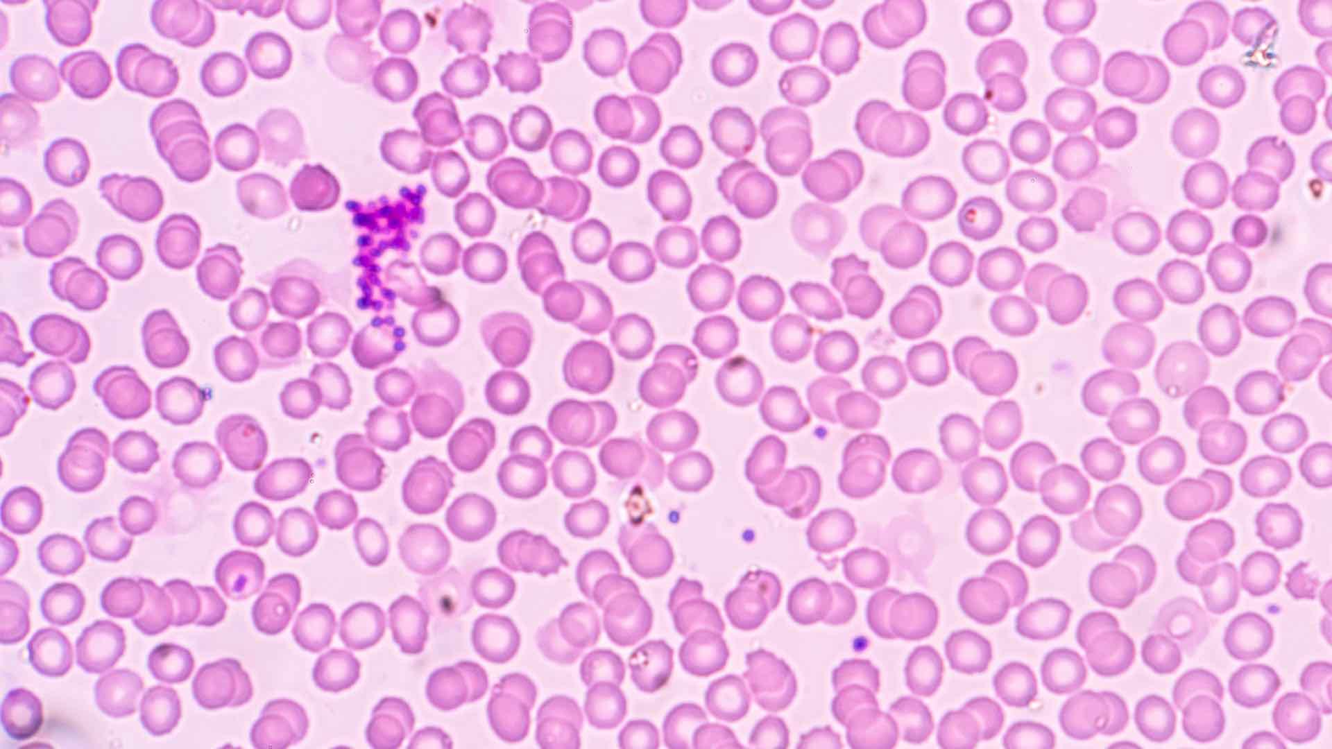
Authorities use today's smart mapping technologies to track disease outbreaks, decide where to respond, and ultimately prevent pandemics.